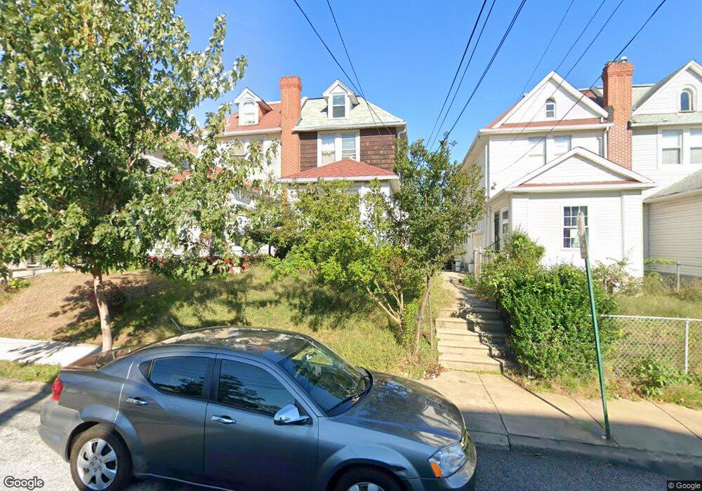
715 Fern St Lansdowne, PA 19050
Estimated Value: $169,000 - $277,000
3
Beds
1
Bath
1,546
Sq Ft
$150/Sq Ft
Est. Value
About This Home
This home is located at 715 Fern St, Lansdowne, PA 19050 and is currently estimated at $232,438, approximately $150 per square foot. 715 Fern St is a home located in Delaware County with nearby schools including Evans Elementary School, Penn Wood Middle School, and Penn Wood High School - Cypress Street Campus.
Ownership History
Date
Name
Owned For
Owner Type
Purchase Details
Closed on
Nov 5, 2007
Sold by
Sims Margaret E
Bought by
Mooney James
Current Estimated Value
Home Financials for this Owner
Home Financials are based on the most recent Mortgage that was taken out on this home.
Original Mortgage
$117,740
Interest Rate
6.02%
Mortgage Type
Purchase Money Mortgage
Purchase Details
Closed on
Feb 22, 2000
Sold by
Sims Charles W and Sims Margaret E
Bought by
Sims Margaret E
Create a Home Valuation Report for This Property
The Home Valuation Report is an in-depth analysis detailing your home's value as well as a comparison with similar homes in the area
Home Values in the Area
Average Home Value in this Area
Purchase History
| Date | Buyer | Sale Price | Title Company |
|---|---|---|---|
| Mooney James | $120,000 | Independence Abstract & Titl | |
| Sims Margaret E | -- | -- |
Source: Public Records
Mortgage History
| Date | Status | Borrower | Loan Amount |
|---|---|---|---|
| Previous Owner | Mooney James | $117,740 |
Source: Public Records
Tax History Compared to Growth
Tax History
| Year | Tax Paid | Tax Assessment Tax Assessment Total Assessment is a certain percentage of the fair market value that is determined by local assessors to be the total taxable value of land and additions on the property. | Land | Improvement |
|---|---|---|---|---|
| 2025 | $4,745 | $111,130 | $32,190 | $78,940 |
| 2024 | $4,745 | $111,130 | $32,190 | $78,940 |
| 2023 | $4,310 | $111,130 | $32,190 | $78,940 |
| 2022 | $4,109 | $111,130 | $32,190 | $78,940 |
| 2021 | $6,214 | $111,130 | $32,190 | $78,940 |
| 2020 | $4,155 | $66,530 | $18,570 | $47,960 |
| 2019 | $4,082 | $66,530 | $18,570 | $47,960 |
| 2018 | $4,025 | $66,530 | $0 | $0 |
| 2017 | $3,941 | $66,530 | $0 | $0 |
| 2016 | $365 | $66,530 | $0 | $0 |
| 2015 | $365 | $66,530 | $0 | $0 |
| 2014 | $365 | $66,530 | $0 | $0 |
Source: Public Records
Map
Nearby Homes
- 1016 Whitby Ave
- 813 Arbor Rd
- 740 Church Ln
- 825 Laurel Rd
- 711 Yeadon Ave Unit 1
- 800 Bullock Ave
- 702 Cedar Ave
- 536 Cypress St
- 722 Yeadon Ave
- 808 Serrill Ave
- 908 Yeadon Ave
- 921 Serrill Ave
- 537 Orchard Ave
- 939 Serrill Ave
- 503 Bonsall Ave
- 530 Orchard Ave
- 1781 S 65th St
- 435 Bonsall Ave
- 6535 Windsor St
- 923 Bell Ave