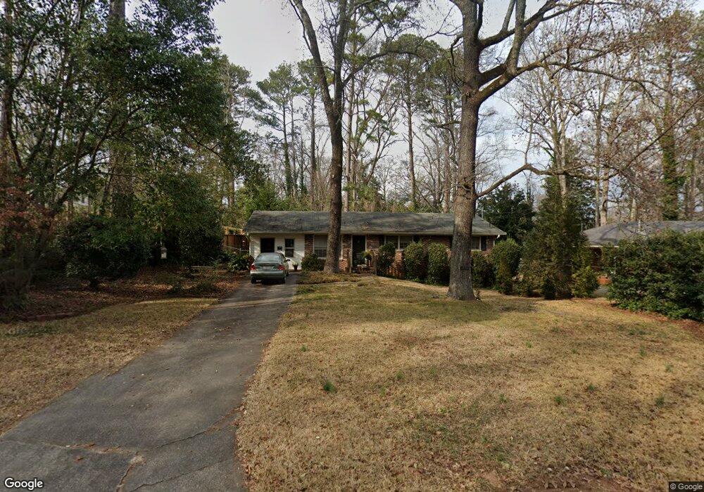
715 Forrest Ave Griffin, GA 30224
Spalding County NeighborhoodEstimated Value: $214,546 - $252,000
3
Beds
2
Baths
1,375
Sq Ft
$167/Sq Ft
Est. Value
About This Home
This home is located at 715 Forrest Ave, Griffin, GA 30224 and is currently estimated at $229,887, approximately $167 per square foot. 715 Forrest Ave is a home located in Spalding County with nearby schools including Futral Road Elementary School, Rehoboth Road Middle School, and Spalding High School.
Ownership History
Date
Name
Owned For
Owner Type
Purchase Details
Closed on
Jun 21, 2018
Sold by
Millican Earle E
Bought by
Millican William
Current Estimated Value
Purchase Details
Closed on
Dec 9, 2005
Sold by
Murray William G and Murray James S
Bought by
Millican Earle E
Purchase Details
Closed on
Nov 8, 1988
Sold by
Jones Thomas F and Jones Eleanor T
Bought by
Comstock Dennis L and Comstock Janet E
Purchase Details
Closed on
Apr 14, 1969
Sold by
Lindsey John R
Bought by
Jones Thomas F and Jones Eleanor T
Purchase Details
Closed on
May 7, 1965
Sold by
Landrum William D
Bought by
Lindsey John R
Purchase Details
Closed on
Apr 30, 1965
Sold by
Murray James S and Murray Searcy D
Bought by
Landrum William D
Purchase Details
Closed on
Apr 1, 1963
Bought by
Murray James S and Murray Searcy D
Create a Home Valuation Report for This Property
The Home Valuation Report is an in-depth analysis detailing your home's value as well as a comparison with similar homes in the area
Home Values in the Area
Average Home Value in this Area
Purchase History
| Date | Buyer | Sale Price | Title Company |
|---|---|---|---|
| Millican William | -- | -- | |
| Millican Earle E | $120,000 | -- | |
| Comstock Dennis L | $59,900 | -- | |
| Jones Thomas F | -- | -- | |
| Lindsey John R | $3,300 | -- | |
| Landrum William D | -- | -- | |
| Murray James S | $3,300 | -- |
Source: Public Records
Tax History
| Year | Tax Paid | Tax Assessment Tax Assessment Total Assessment is a certain percentage of the fair market value that is determined by local assessors to be the total taxable value of land and additions on the property. | Land | Improvement |
|---|---|---|---|---|
| 2025 | $2,664 | $72,086 | $15,400 | $56,686 |
| 2024 | $2,606 | $72,086 | $15,400 | $56,686 |
| 2023 | $2,664 | $58,820 | $15,400 | $43,420 |
| 2022 | $1,975 | $51,787 | $14,520 | $37,267 |
| 2021 | $1,918 | $47,987 | $14,520 | $33,467 |
| 2020 | $1,918 | $47,987 | $14,520 | $33,467 |
| 2019 | $1,528 | $37,543 | $14,520 | $23,023 |
| 2018 | $1,520 | $35,980 | $14,520 | $21,460 |
| 2017 | $1,431 | $34,624 | $14,520 | $20,104 |
| 2016 | $1,356 | $32,278 | $14,520 | $17,758 |
| 2015 | $1,378 | $32,278 | $14,520 | $17,758 |
| 2014 | $1,420 | $32,278 | $14,520 | $17,758 |
Source: Public Records
Map
Nearby Homes
- 310 Terrace St
- 722 Maple Dr
- 711 Maple Dr
- 159 Milner Ave
- 411 Terrace St
- 816 Woodland Dr
- 226 Tilney Ave
- 824 Woodland Dr
- 729 Springer Dr
- 505 Kincaid Ave
- 550 S Hill St
- 839 Bieze St
- 372 E College St
- 644 Brook Cir
- 517 S 6th St
- 123 Huntsman Dr
- 923 Mockingbird Ln
- 1099 Pine Valley Rd
- 1541 Zebulon Rd & Unit 4 TRACTS 35 ACRES
- 323 E College St
- 713 Forrest Ave
- 713 Forrest Ave Unit 147
- 714 Maple Dr
- 709 Forrest Ave
- 805 Hillcrest Ave
- 718 Maple Dr
- 830 Forrest Ave
- 706 Maple Dr
- 706 Maple Dr Unit D
- 705 Forrest Ave
- 809 Hillcrest Ave
- 720 Maple Dr
- 700 Maple Dr
- 306 Terrace St
- 304 Terrace St
- 308 Terrace St
- 703 Forrest Ave
- 813 Hillcrest Ave
- 312 Terrace St
- 701 Forrest Ave
Your Personal Tour Guide
Ask me questions while you tour the home.