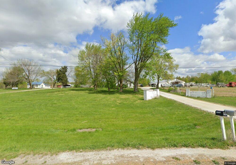
715 Highway A Moberly, MO 65270
Estimated Value: $88,984 - $193,000
2
Beds
1
Bath
1,092
Sq Ft
$148/Sq Ft
Est. Value
About This Home
This home is located at 715 Highway A, Moberly, MO 65270 and is currently estimated at $161,246, approximately $147 per square foot. 715 Highway A is a home located in Randolph County with nearby schools including Moberly Senior High School, Maranatha Seventh-day Adventist School, and Terrill Road Christian Academy.
Ownership History
Date
Name
Owned For
Owner Type
Purchase Details
Closed on
Mar 4, 2019
Sold by
Lindaman Joel D and Leverett Denise J
Bought by
Gillispie Laverne E and Gillispie Brenda S
Current Estimated Value
Home Financials for this Owner
Home Financials are based on the most recent Mortgage that was taken out on this home.
Original Mortgage
$132,952
Outstanding Balance
$116,887
Interest Rate
4.4%
Mortgage Type
Purchase Money Mortgage
Estimated Equity
$44,359
Create a Home Valuation Report for This Property
The Home Valuation Report is an in-depth analysis detailing your home's value as well as a comparison with similar homes in the area
Home Values in the Area
Average Home Value in this Area
Purchase History
| Date | Buyer | Sale Price | Title Company |
|---|---|---|---|
| Gillispie Laverne E | -- | None Available |
Source: Public Records
Mortgage History
| Date | Status | Borrower | Loan Amount |
|---|---|---|---|
| Open | Gillispie Laverne E | $132,952 |
Source: Public Records
Tax History Compared to Growth
Tax History
| Year | Tax Paid | Tax Assessment Tax Assessment Total Assessment is a certain percentage of the fair market value that is determined by local assessors to be the total taxable value of land and additions on the property. | Land | Improvement |
|---|---|---|---|---|
| 2025 | $176 | $2,920 | $2,529 | $391 |
| 2024 | $176 | $2,590 | $2,202 | $388 |
| 2023 | $169 | $2,590 | $2,202 | $388 |
| 2022 | $164 | $2,560 | $2,172 | $388 |
| 2021 | $164 | $2,560 | $2,172 | $388 |
| 2020 | $164 | $2,560 | $2,172 | $388 |
| 2019 | $214 | $3,350 | $2,174 | $1,176 |
| 2018 | $213 | $3,350 | $2,177 | $1,173 |
| 2017 | $212 | $3,350 | $0 | $0 |
| 2016 | $324 | $5,140 | $0 | $0 |
| 2014 | -- | $4,930 | $0 | $0 |
| 2013 | -- | $4,930 | $0 | $0 |
| 2012 | -- | $5,410 | $0 | $0 |
Source: Public Records
Map
Nearby Homes
- 1577 County Road 2285
- 315 W Urbandale Dr
- 1471 Trails End
- 1826 S Morley St
- 1027 County Road 2505
- 1825 S Morley St
- 1377 Conestoga Trace
- 1365 Lantern Pointe Dr
- 713 Homestead Dr
- 1227 Conestoga Trace
- 2010 Sterling Dr
- 1216 Shepherds Dr
- 0 S Ridge Subdivision Unit 413910
- 0 S Ridge Subdivision Unit 413909
- 0 S Ridge Subdivision Unit 413908
- 0 S Ridge Subdivision Unit 413906
- 0 S Ridge Subdivision Unit 18-418
- 0 S Ridge Subdivision Unit 18-417
- 0 S Ridge Subdivision Unit 18-416
- 0 S Ridge Subdivision Unit 22-6
- 743 Highway A
- 791 Highway A
- 585 Highway A
- 824 County Road 2275
- 917 Highway A
- 437 Highway A
- 918 Highway A
- 5223 Highway Aa
- 4739 Highway Aa
- 2247 6 Mile Ln
- 946 County Road 2275
- 2137 6 Mile Ln
- 2010 Wabash Ave
- 2320 6 Mile Ln
- 1913 Chariton Ave
- 1911 Chariton Ave
- 1909 Chariton Ave
- 986 County Road 2275
- 1907 Chariton Ave
- 2006 Wabash Ave