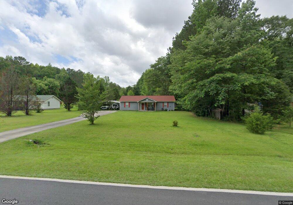
715 Joe Stephens Rd Franklin, GA 30217
Estimated Value: $131,000 - $237,000
3
Beds
2
Baths
1,200
Sq Ft
$157/Sq Ft
Est. Value
About This Home
This home is located at 715 Joe Stephens Rd, Franklin, GA 30217 and is currently estimated at $188,065, approximately $156 per square foot. 715 Joe Stephens Rd is a home located in Heard County with nearby schools including Heard County High School.
Ownership History
Date
Name
Owned For
Owner Type
Purchase Details
Closed on
Nov 16, 2005
Sold by
Ward Linda Lou
Bought by
Coker Benny R and Coker Florence S
Current Estimated Value
Home Financials for this Owner
Home Financials are based on the most recent Mortgage that was taken out on this home.
Original Mortgage
$91,760
Outstanding Balance
$50,277
Interest Rate
6.04%
Mortgage Type
FHA
Estimated Equity
$137,788
Purchase Details
Closed on
Aug 19, 1999
Sold by
Leach Tommy
Bought by
Ward Linda Lou and Ward Jam
Purchase Details
Closed on
Dec 24, 1997
Bought by
Leach Tommy
Create a Home Valuation Report for This Property
The Home Valuation Report is an in-depth analysis detailing your home's value as well as a comparison with similar homes in the area
Home Values in the Area
Average Home Value in this Area
Purchase History
| Date | Buyer | Sale Price | Title Company |
|---|---|---|---|
| Coker Benny R | $93,200 | -- | |
| Ward Linda Lou | $69,900 | -- | |
| Leach Tommy | -- | -- |
Source: Public Records
Mortgage History
| Date | Status | Borrower | Loan Amount |
|---|---|---|---|
| Open | Coker Benny R | $91,760 |
Source: Public Records
Tax History Compared to Growth
Tax History
| Year | Tax Paid | Tax Assessment Tax Assessment Total Assessment is a certain percentage of the fair market value that is determined by local assessors to be the total taxable value of land and additions on the property. | Land | Improvement |
|---|---|---|---|---|
| 2024 | $901 | $44,675 | $3,335 | $41,340 |
| 2023 | $825 | $39,539 | $2,779 | $36,760 |
| 2022 | $798 | $38,209 | $1,899 | $36,310 |
| 2021 | $648 | $29,492 | $1,898 | $27,594 |
| 2020 | $616 | $27,749 | $1,899 | $25,850 |
| 2019 | $616 | $27,749 | $1,899 | $25,850 |
| 2018 | $628 | $27,749 | $1,899 | $25,850 |
| 2017 | $677 | $29,981 | $1,347 | $28,634 |
| 2016 | $677 | $29,981 | $1,347 | $28,634 |
| 2015 | -- | $28,188 | $2,522 | $25,666 |
| 2014 | -- | $28,194 | $2,522 | $25,672 |
| 2013 | -- | $32,672 | $2,521 | $30,151 |
Source: Public Records
Map
Nearby Homes
- 192 Hawk Rd
- 0 Thomas Powers Rd Unit 10569332
- 0 Thomas Powers Rd Unit 5.54+/- ACRES
- 0 Thomas Powers Rd Unit 24228819
- 220 Dogwood Rd
- 19860 Georgia 34
- 19860 Ga Hwy 34
- 642 Elm Rd
- 323 Newman Rd
- 0 Newman Rd Unit 10559645
- 1227 J D Walton Rd
- 189 & 191 W Plantation Dr
- 38 Daniel Cir
- 4230 Joe Stephens Rd
- 712 Boy Scout Rd
- 260 Ancient Oak Ln
- 927 Boy Scout Rd
- 4398 Georgia 34
- 17426 Georgia 34
- 57 Scout Way
- 755 Joe Stephens Rd
- 779 Joe Stephens Rd
- 711 Joe Stephens Rd
- 1135 Joe Stephens Rd
- 740 Joe Stephens Rd
- 915 Joe Stephens Rd
- 366 Fir Rd
- 868 Joe Stephens Rd
- 955 Joe Stephens Rd
- 820 Joe Stephens Rd
- 640 Fir Rd
- 256 Fir Rd
- 210 Fir Rd
- 0 Fir Rd Unit 8053248
- 266 Thomas Powers Rd
- 1059 Joe Stephens Rd
- 434 Joe Stephens Rd
- 510 Joe Stephens Rd
- 422 Joe Stephens Rd
- 479 Fir Rd