715 Kent Hills Rd NE Grand Rapids, MI 49505
Creston NeighborhoodEstimated Value: $654,000 - $1,357,573
6
Beds
6
Baths
1
Sq Ft
$1,005,787/Sq Ft
Est. Value
About This Home
This home is located at 715 Kent Hills Rd NE, Grand Rapids, MI 49505 and is currently estimated at $1,005,787, approximately $1,005,787 per square foot. 715 Kent Hills Rd NE is a home located in Kent County with nearby schools including Kent Hills School, Riverside Middle School, and Union High School.
Ownership History
Date
Name
Owned For
Owner Type
Purchase Details
Closed on
Mar 31, 1998
Sold by
Tngly Tngly W W and Tngly M
Bought by
Knt Hls Ct and Kent Hills Cattle Co Inc
Current Estimated Value
Purchase Details
Closed on
May 17, 1996
Purchase Details
Closed on
Jun 5, 1995
Sold by
Remmelts Remmelts D D and Remmelts Wassenaar
Bought by
Wassenaar and Kent Hills Cattle Co Inc
Purchase Details
Closed on
Apr 1, 1986
Bought by
Kent Hills Cattle Co Inc
Purchase Details
Closed on
Jan 24, 1985
Bought by
Kent Hills Cattle Co Inc
Create a Home Valuation Report for This Property
The Home Valuation Report is an in-depth analysis detailing your home's value as well as a comparison with similar homes in the area
Home Values in the Area
Average Home Value in this Area
Purchase History
| Date | Buyer | Sale Price | Title Company |
|---|---|---|---|
| Knt Hls Ct | -- | -- | |
| -- | -- | -- | |
| Wassenaar | -- | -- | |
| Kent Hills Cattle Co Inc | $125,000 | -- | |
| Kent Hills Cattle Co Inc | $125,000 | -- |
Source: Public Records
Tax History Compared to Growth
Tax History
| Year | Tax Paid | Tax Assessment Tax Assessment Total Assessment is a certain percentage of the fair market value that is determined by local assessors to be the total taxable value of land and additions on the property. | Land | Improvement |
|---|---|---|---|---|
| 2025 | $13,795 | $667,100 | $0 | $0 |
| 2024 | $13,795 | $644,600 | $0 | $0 |
| 2023 | $13,186 | $656,200 | $0 | $0 |
| 2022 | $13,005 | $556,500 | $0 | $0 |
| 2021 | $12,672 | $464,300 | $0 | $0 |
| 2020 | $12,247 | $451,500 | $0 | $0 |
| 2019 | $12,540 | $387,700 | $0 | $0 |
| 2018 | $12,156 | $345,400 | $0 | $0 |
| 2017 | $11,858 | $307,200 | $0 | $0 |
| 2016 | $11,916 | $278,700 | $0 | $0 |
| 2015 | $11,354 | $278,700 | $0 | $0 |
| 2013 | -- | $248,600 | $0 | $0 |
Source: Public Records
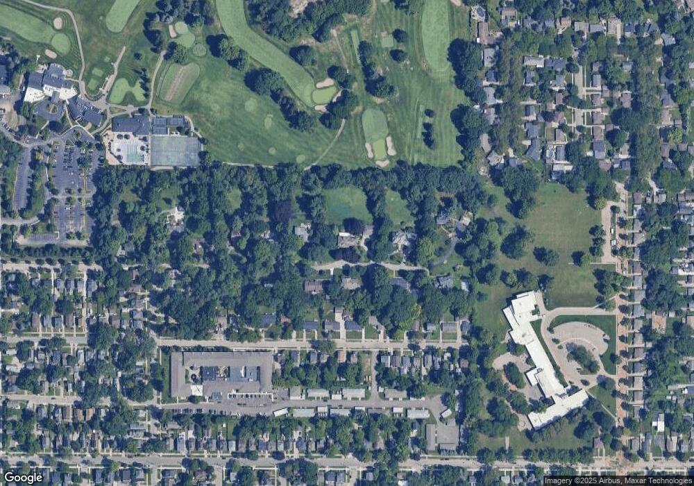
Map
Nearby Homes
- 1410 Union Ave NE
- 1360 Union Ave NE
- 1757 Westlane Dr NE
- 1516 Cole Ave NE
- 443 Quimby St NE
- 1825 Meadowfield Dr NE
- 1402 North Ave NE
- 1848 Emerald Ave NE
- 532 Carrier St NE
- 1215 Emerald Ave NE
- 327 Quimby St NE
- 310 Sweet St NE
- 1144 Union Ave NE
- 852 Leonard St NE
- 1238 Diamond Ave NE
- 1221 Diamond Ave NE
- 1683 Herrick Ave NE
- 914 Leonard St NE
- 741 Knapp St NE
- 1448 Herrick Ave NE
- 726 Kent Hills Rd NE
- 705 Kent Hills Rd NE
- 741 Kent Hills Rd NE
- 700 Kent Hills Rd NE
- 639 Kent Hills Rd NE
- 717 Marietta St NE
- 727 Marietta St NE
- 721 Marietta St NE
- 721 Marietta St NE
- 723 Marietta St NE
- 721 Marietta St NE Unit 723
- 721 Marietta St NE Unit 23
- 707 Marietta St NE
- 707 Marietta St NE Unit 709
- 640 Kent Hills Rd NE
- 731 Marietta St NE
- 649 Marietta St NE
- 741 Marietta St NE
- 741 Marietta St NE Unit 743
- 749 Kent Hills Rd NE