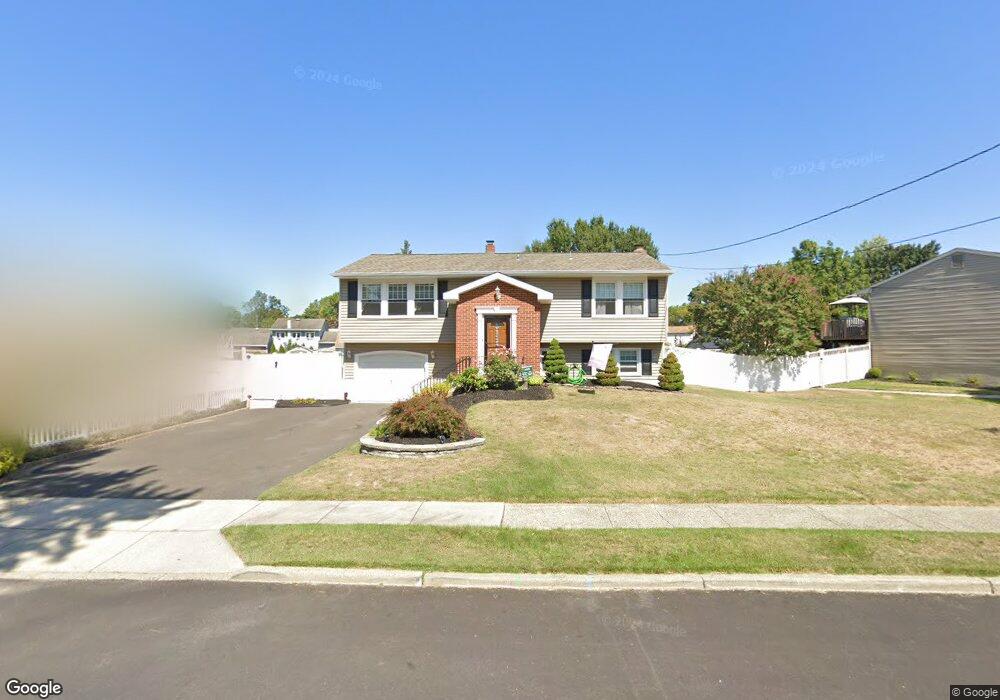
715 Lancing Rd West Deptford, NJ 08096
West Deptford Township NeighborhoodEstimated Value: $382,619 - $418,000
4
Beds
2
Baths
1,684
Sq Ft
$237/Sq Ft
Est. Value
About This Home
This home is located at 715 Lancing Rd, West Deptford, NJ 08096 and is currently estimated at $399,405, approximately $237 per square foot. 715 Lancing Rd is a home located in Gloucester County with nearby schools including Oakview Elementary School, Red Bank Elementary School, and Green-Fields Elementary School.
Ownership History
Date
Name
Owned For
Owner Type
Purchase Details
Closed on
Jul 30, 2010
Sold by
The Estate Of Dorothy M Bender
Bought by
White Edward W and White Nicole D
Current Estimated Value
Home Financials for this Owner
Home Financials are based on the most recent Mortgage that was taken out on this home.
Original Mortgage
$207,110
Outstanding Balance
$136,642
Interest Rate
4.5%
Mortgage Type
FHA
Estimated Equity
$262,763
Create a Home Valuation Report for This Property
The Home Valuation Report is an in-depth analysis detailing your home's value as well as a comparison with similar homes in the area
Home Values in the Area
Average Home Value in this Area
Purchase History
| Date | Buyer | Sale Price | Title Company |
|---|---|---|---|
| White Edward W | $209,900 | Foundation Title Llc |
Source: Public Records
Mortgage History
| Date | Status | Borrower | Loan Amount |
|---|---|---|---|
| Open | White Edward W | $207,110 |
Source: Public Records
Tax History Compared to Growth
Tax History
| Year | Tax Paid | Tax Assessment Tax Assessment Total Assessment is a certain percentage of the fair market value that is determined by local assessors to be the total taxable value of land and additions on the property. | Land | Improvement |
|---|---|---|---|---|
| 2025 | $7,316 | $209,500 | $54,900 | $154,600 |
| 2024 | $6,391 | $209,500 | $54,900 | $154,600 |
| 2023 | $6,391 | $185,400 | $54,900 | $130,500 |
| 2022 | $6,361 | $185,400 | $54,900 | $130,500 |
| 2021 | $6,339 | $185,400 | $54,900 | $130,500 |
| 2020 | $6,324 | $185,400 | $54,900 | $130,500 |
| 2019 | $6,148 | $185,400 | $54,900 | $130,500 |
| 2018 | $5,981 | $185,400 | $54,900 | $130,500 |
| 2017 | $5,842 | $185,400 | $54,900 | $130,500 |
| 2016 | $5,645 | $184,300 | $54,900 | $129,400 |
| 2015 | $5,477 | $187,700 | $58,300 | $129,400 |
| 2014 | $5,205 | $187,700 | $58,300 | $129,400 |
Source: Public Records
Map
Nearby Homes
- 112 N Drexel St
- 2 Victorian Way
- 3 Victorian Way
- 7 Victorian Way
- 83 Lynn Dr
- 46 Lynn Dr
- 302 W Red Bank Ave
- 21 S Columbia St
- 815 Harker Ave
- 195 Delaware St
- 266 Passaic Ave
- 34 S Jackson St
- 654 Frances Ave
- 125 S Davis St
- 210 Lawnton Ave
- 193 Dubois Ave
- 340 High St
- 154 W Barber Ave
- 344 S Girard St
- 1448 Victory Ave
- 721 Lancing Rd
- 709 Lancing Rd
- 727 Lancing Rd
- 728 Sterling Rd
- 724 Sterling Rd
- 714 Lancing Rd
- 732 Sterling Rd
- 703 Lancing Rd
- 718 Lancing Rd
- 710 Lancing Rd
- 733 Lancing Rd
- 716 Sterling Rd
- 736 Sterling Rd
- 706 Lancing Rd
- 739 Lancing Rd
- 734 Lancing Rd
- 722 Chetwood Ct
- 702 Lancing Rd
- 735 Sterling Rd
- 745 Lancing Rd