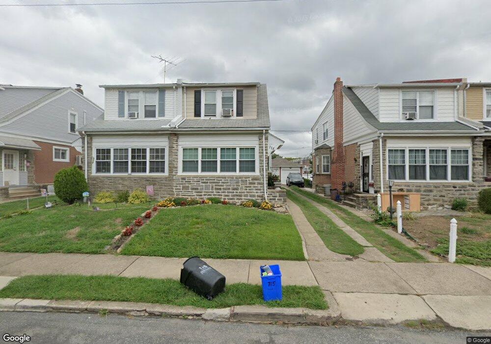
715 Magee Ave Philadelphia, PA 19111
Lawncrest NeighborhoodEstimated Value: $244,940 - $303,000
3
Beds
1
Bath
1,260
Sq Ft
$223/Sq Ft
Est. Value
About This Home
This home is located at 715 Magee Ave, Philadelphia, PA 19111 and is currently estimated at $281,235, approximately $223 per square foot. 715 Magee Ave is a home located in Philadelphia County with nearby schools including J. Hampton Moore School, Castor Gardens Middle School, and Northeast High School.
Ownership History
Date
Name
Owned For
Owner Type
Purchase Details
Closed on
Jun 21, 1994
Sold by
Durney Paul C and Durney Maureen K
Bought by
Mcgill Marian
Current Estimated Value
Create a Home Valuation Report for This Property
The Home Valuation Report is an in-depth analysis detailing your home's value as well as a comparison with similar homes in the area
Home Values in the Area
Average Home Value in this Area
Purchase History
| Date | Buyer | Sale Price | Title Company |
|---|---|---|---|
| Mcgill Marian | $81,300 | -- |
Source: Public Records
Tax History Compared to Growth
Tax History
| Year | Tax Paid | Tax Assessment Tax Assessment Total Assessment is a certain percentage of the fair market value that is determined by local assessors to be the total taxable value of land and additions on the property. | Land | Improvement |
|---|---|---|---|---|
| 2026 | $2,676 | $236,500 | $47,300 | $189,200 |
| 2025 | $2,676 | $236,500 | $47,300 | $189,200 |
| 2024 | $2,676 | $236,500 | $47,300 | $189,200 |
| 2023 | $2,676 | $191,200 | $38,240 | $152,960 |
| 2022 | $1,348 | $146,200 | $38,240 | $107,960 |
| 2021 | $1,978 | $0 | $0 | $0 |
| 2020 | $1,978 | $0 | $0 | $0 |
| 2019 | $1,898 | $0 | $0 | $0 |
| 2018 | $1,851 | $0 | $0 | $0 |
| 2017 | $1,851 | $0 | $0 | $0 |
| 2016 | $1,431 | $0 | $0 | $0 |
| 2015 | $1,369 | $0 | $0 | $0 |
| 2014 | -- | $132,200 | $40,635 | $91,565 |
| 2012 | -- | $20,768 | $4,578 | $16,190 |
Source: Public Records
Map
Nearby Homes
- 6607 Claridge St
- 629 Fanshawe St
- 720 Kerper St
- 6517 Montour St
- 542-48 Magee Ave
- 6504 Oxford Ave
- 817 Passmore St
- 528 Magee Ave
- 627 Knorr St
- 811 Knorr St
- 534 Hellerman St Unit 36
- 908 Fanshawe St
- 6424 Bingham St
- 832 Knorr St
- 6339 Bingham St
- 6327 Martins Mill Rd
- 6704-6708 Martins Rd
- 6340 Martins Mill Rd
- 6313 Bingham St
- 615 Robbins St