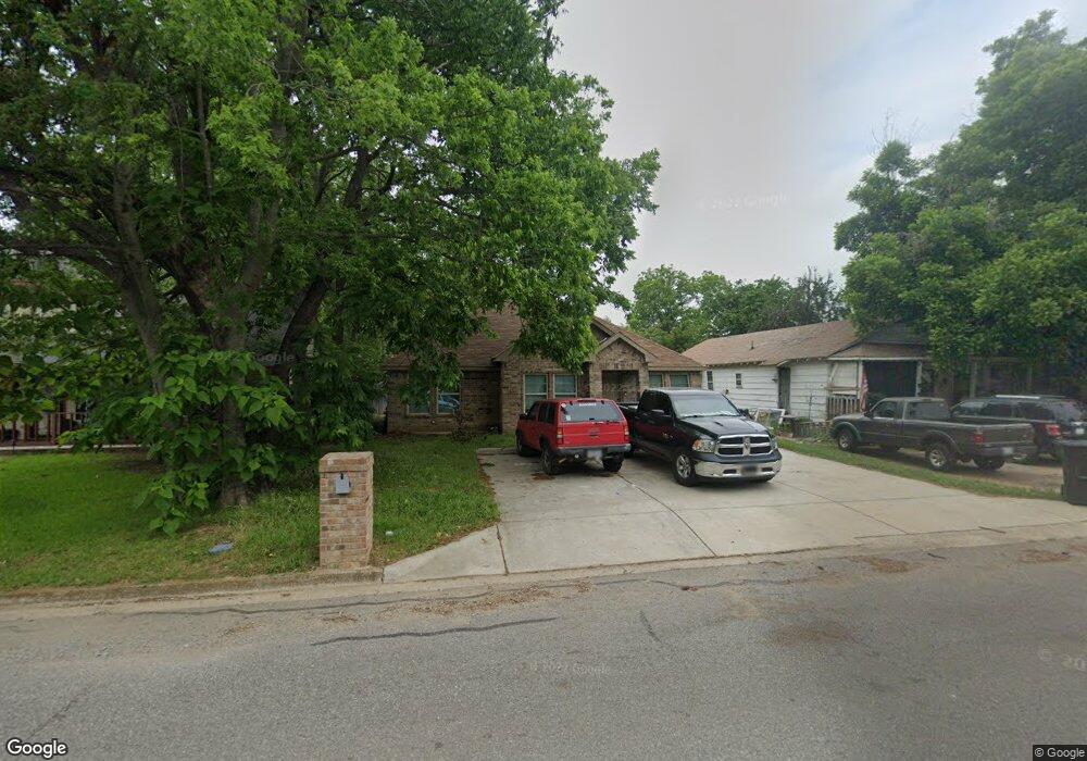
715 N 12th Ave Durant, OK 74701
Estimated Value: $152,000 - $186,000
3
Beds
2
Baths
1,179
Sq Ft
$146/Sq Ft
Est. Value
About This Home
This home is located at 715 N 12th Ave, Durant, OK 74701 and is currently estimated at $171,720, approximately $145 per square foot. 715 N 12th Ave is a home located in Bryan County with nearby schools including Washington Irving Elementary School, Durant Middle School, and Durant Intermediate Elementary School.
Ownership History
Date
Name
Owned For
Owner Type
Purchase Details
Closed on
Feb 20, 2014
Sold by
First United Bank
Bought by
Sunview Development Llc
Current Estimated Value
Purchase Details
Closed on
Dec 8, 2009
Sold by
Mcclures Investments Llc
Bought by
Renegar Nason and Renegar Christie
Home Financials for this Owner
Home Financials are based on the most recent Mortgage that was taken out on this home.
Original Mortgage
$13,600
Interest Rate
5.06%
Mortgage Type
Unknown
Purchase Details
Closed on
Jan 17, 2002
Sold by
Garland Richard and Garland Sheila
Bought by
Pratt Scott and Pratt Roberta
Purchase Details
Closed on
Feb 6, 2001
Sold by
Buchanan Gerald Trust
Bought by
Garland Richard and Garland Sheila
Purchase Details
Closed on
Dec 30, 1993
Sold by
Buchanan Gerald and Buchanan Gwen
Bought by
Buchanan, Gerald Trust
Create a Home Valuation Report for This Property
The Home Valuation Report is an in-depth analysis detailing your home's value as well as a comparison with similar homes in the area
Home Values in the Area
Average Home Value in this Area
Purchase History
| Date | Buyer | Sale Price | Title Company |
|---|---|---|---|
| Sunview Development Llc | $10,000 | -- | |
| Renegar Nason | $160,000 | None Available | |
| Pratt Scott | $12,500 | -- | |
| Garland Richard | $16,500 | -- | |
| Buchanan, Gerald Trust | -- | -- |
Source: Public Records
Mortgage History
| Date | Status | Borrower | Loan Amount |
|---|---|---|---|
| Previous Owner | Renegar Nason | $13,600 |
Source: Public Records
Tax History Compared to Growth
Tax History
| Year | Tax Paid | Tax Assessment Tax Assessment Total Assessment is a certain percentage of the fair market value that is determined by local assessors to be the total taxable value of land and additions on the property. | Land | Improvement |
|---|---|---|---|---|
| 2024 | $1,198 | $12,298 | $990 | $11,308 |
| 2023 | $1,198 | $11,712 | $990 | $10,722 |
| 2022 | $1,047 | $11,155 | $990 | $10,165 |
| 2021 | $1,022 | $10,624 | $990 | $9,634 |
| 2020 | $972 | $10,118 | $990 | $9,128 |
| 2019 | $874 | $9,636 | $990 | $8,646 |
| 2018 | $866 | $9,636 | $990 | $8,646 |
| 2017 | $88 | $990 | $990 | $0 |
| 2016 | $89 | $990 | $990 | $0 |
| 2015 | $163 | $1,815 | $605 | $1,210 |
| 2014 | $163 | $1,815 | $605 | $1,210 |
Source: Public Records
Map
Nearby Homes
- 701 N 13th Ave
- 1320 W Liveoak St
- 1415 W Mulberry St
- 1124 W Elm St
- 503 N 13th Ave
- 1016 N 12th Ave
- 501 N 14th Ave
- 1105 W Elm St
- 1418 Baltimore St
- 1223 Grand Ave
- 1420 Baltimore St
- 1419 W University Blvd
- 19 Sawyer Ln
- 182 Edgewood Cir
- 1524 Maple St
- 223 N 10th Ave
- 1002 W Evergreen St
- 905 W Beech St
- 1005 N 7th Ave
- 620 W Pine St