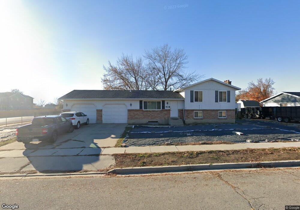
715 N 150 W American Fork, UT 84003
Estimated Value: $518,000 - $587,000
4
Beds
2
Baths
1,144
Sq Ft
$483/Sq Ft
Est. Value
About This Home
This home is located at 715 N 150 W, American Fork, UT 84003 and is currently estimated at $552,258, approximately $482 per square foot. 715 N 150 W is a home located in Utah County with nearby schools including Shelley Elementary School, American Fork Junior High School, and American Fork High School.
Ownership History
Date
Name
Owned For
Owner Type
Purchase Details
Closed on
Aug 1, 2014
Sold by
Maynard Linda Jane and Maynard Kevin Daniel
Bought by
Maynard Linda Jane
Current Estimated Value
Home Financials for this Owner
Home Financials are based on the most recent Mortgage that was taken out on this home.
Original Mortgage
$97,000
Outstanding Balance
$73,990
Interest Rate
4.12%
Mortgage Type
New Conventional
Estimated Equity
$478,268
Purchase Details
Closed on
Mar 10, 2009
Sold by
Maynard Linda Jane
Bought by
Maynard Linda Jane and Maynard Kevin Daniel
Home Financials for this Owner
Home Financials are based on the most recent Mortgage that was taken out on this home.
Original Mortgage
$88,500
Interest Rate
5.03%
Mortgage Type
Purchase Money Mortgage
Purchase Details
Closed on
Apr 25, 2002
Sold by
Capua John K and Capua Vicky L
Bought by
Izatt Jason S and Izatt Kimberly Z
Create a Home Valuation Report for This Property
The Home Valuation Report is an in-depth analysis detailing your home's value as well as a comparison with similar homes in the area
Home Values in the Area
Average Home Value in this Area
Purchase History
| Date | Buyer | Sale Price | Title Company |
|---|---|---|---|
| Maynard Linda Jane | -- | Servicelink | |
| Maynard Linda Jane | -- | Utah Standard Title | |
| Maynard Linda Jane | -- | Utah Standard Title | |
| Izatt Jason S | -- | Sundance Title Ins Agency |
Source: Public Records
Mortgage History
| Date | Status | Borrower | Loan Amount |
|---|---|---|---|
| Open | Maynard Linda Jane | $97,000 | |
| Closed | Maynard Linda Jane | $88,500 |
Source: Public Records
Tax History Compared to Growth
Tax History
| Year | Tax Paid | Tax Assessment Tax Assessment Total Assessment is a certain percentage of the fair market value that is determined by local assessors to be the total taxable value of land and additions on the property. | Land | Improvement |
|---|---|---|---|---|
| 2025 | $2,371 | $294,855 | $246,200 | $289,900 |
| 2024 | $2,371 | $263,395 | $0 | $0 |
| 2023 | $2,183 | $257,180 | $0 | $0 |
| 2022 | $2,379 | $276,540 | $0 | $0 |
| 2021 | $2,031 | $368,800 | $176,600 | $192,200 |
| 2020 | $1,897 | $334,000 | $157,700 | $176,300 |
| 2019 | $1,734 | $315,900 | $145,900 | $170,000 |
| 2018 | $1,641 | $285,800 | $138,000 | $147,800 |
| 2017 | $1,520 | $142,835 | $0 | $0 |
| 2016 | $1,413 | $123,420 | $0 | $0 |
| 2015 | $1,378 | $114,180 | $0 | $0 |
| 2014 | $1,322 | $108,075 | $0 | $0 |
Source: Public Records
Map
Nearby Homes
- 621 N 100 W
- 782 N 200 W
- 796 N 200 W
- 540 N 300 W
- 183 E 760 St N
- 10238 N 6530 W Unit 15
- 1051 N 390 E Unit 103
- 6079 W Whisper Ln Unit 404
- 1220 E 700 N
- 1039 N 390 E Unit 102
- 11338 N Annes Way Unit 8
- 6111 W Whisper Ln Unit 402
- 846 N 60 E
- 641 N 420 W
- 984 N 300 W
- 914 N 400 W Unit A
- 3889 W 950 Cir N Unit 366
- 365 N 100 W
- 788 N 150 E Unit 3
- 807 N 150 E