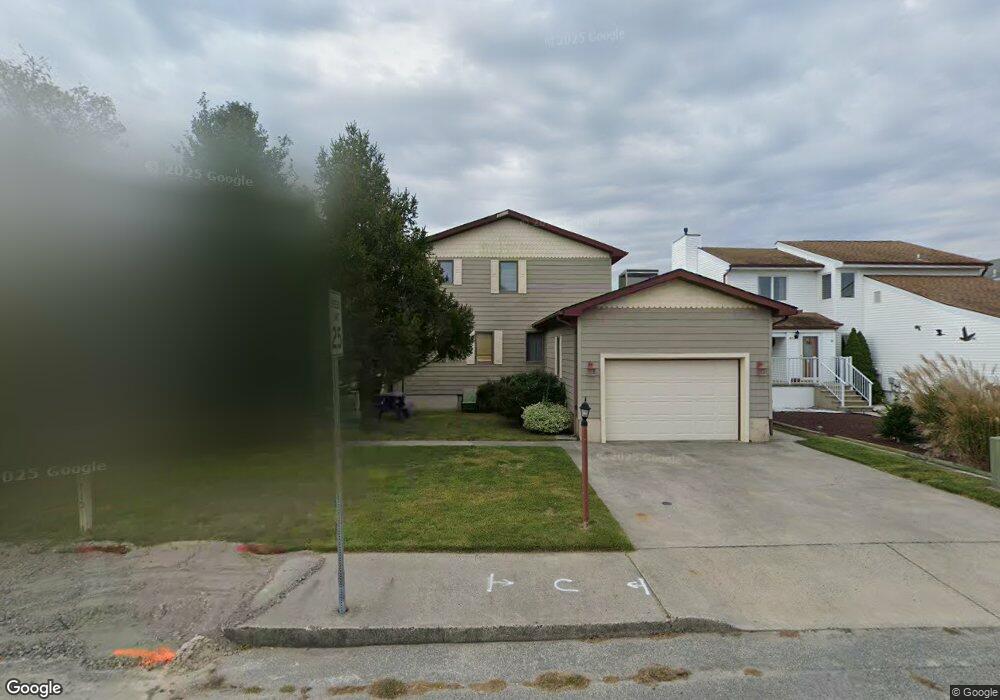
715 S Surf Rd Ocean City, MD 21842
Estimated Value: $845,535 - $929,000
--
Bed
2
Baths
2,054
Sq Ft
$440/Sq Ft
Est. Value
About This Home
This home is located at 715 S Surf Rd, Ocean City, MD 21842 and is currently estimated at $903,884, approximately $440 per square foot. 715 S Surf Rd is a home located in Worcester County with nearby schools including Ocean City Elementary School, Stephen Decatur Middle School, and Berlin Intermediate School.
Ownership History
Date
Name
Owned For
Owner Type
Purchase Details
Closed on
Aug 5, 1998
Sold by
Roche Raymond J and Roche Louise A
Bought by
Lorenzo Amedio G and Lorenzo Mary Ann
Current Estimated Value
Purchase Details
Closed on
Jul 3, 1991
Sold by
Roehm Carl L and Roehm Mildred M
Bought by
Roche Raymond J and Roche Louise A
Home Financials for this Owner
Home Financials are based on the most recent Mortgage that was taken out on this home.
Original Mortgage
$140,000
Interest Rate
9.67%
Purchase Details
Closed on
Jan 9, 1985
Sold by
George B Pleat
Bought by
Roehm Carl L and Roehm Mildred M
Home Financials for this Owner
Home Financials are based on the most recent Mortgage that was taken out on this home.
Original Mortgage
$47,000
Interest Rate
13.1%
Create a Home Valuation Report for This Property
The Home Valuation Report is an in-depth analysis detailing your home's value as well as a comparison with similar homes in the area
Home Values in the Area
Average Home Value in this Area
Purchase History
| Date | Buyer | Sale Price | Title Company |
|---|---|---|---|
| Lorenzo Amedio G | $195,000 | -- | |
| Roche Raymond J | $195,000 | -- | |
| Roehm Carl L | $149,900 | -- |
Source: Public Records
Mortgage History
| Date | Status | Borrower | Loan Amount |
|---|---|---|---|
| Previous Owner | Roche Raymond J | $140,000 | |
| Previous Owner | Roehm Carl L | $47,000 |
Source: Public Records
Tax History Compared to Growth
Tax History
| Year | Tax Paid | Tax Assessment Tax Assessment Total Assessment is a certain percentage of the fair market value that is determined by local assessors to be the total taxable value of land and additions on the property. | Land | Improvement |
|---|---|---|---|---|
| 2025 | $7,538 | $552,033 | $0 | $0 |
| 2024 | $7,209 | $516,667 | $0 | $0 |
| 2023 | $6,764 | $481,300 | $353,800 | $127,500 |
| 2022 | $6,715 | $477,800 | $0 | $0 |
| 2021 | $6,702 | $474,300 | $0 | $0 |
| 2020 | $6,652 | $470,800 | $353,800 | $117,000 |
| 2019 | $6,591 | $463,300 | $0 | $0 |
| 2018 | $6,420 | $455,800 | $0 | $0 |
| 2017 | $6,333 | $448,300 | $0 | $0 |
| 2016 | $6,305 | $431,200 | $0 | $0 |
| 2015 | $5,569 | $414,100 | $0 | $0 |
| 2014 | $5,569 | $397,000 | $0 | $0 |
Source: Public Records
Map
Nearby Homes
- 712 Gulf Stream Dr
- 709 Gulf Stream Dr
- 703 Loop Rd
- 705 Gulf Stream Dr
- 113 Assateague Ct
- 806 Bahia Dr
- 13801 Barge Rd
- 13487 Bella Vista Ln Unit U9
- 13506 Yellow Banks Ct
- 505 S Surf Rd
- 511 Sandyhill Dr
- 743 Laurel Ave
- 512 Nautical Ln
- 13519 Holly Ln
- 13517 Holly Ln
- 13450 Madison Ave Unit 8
- 702A Kelly Rd
- 13800 N Ocean Rd Unit D
- 14009 N Ocean Rd
- 14125 Sea Captain Rd