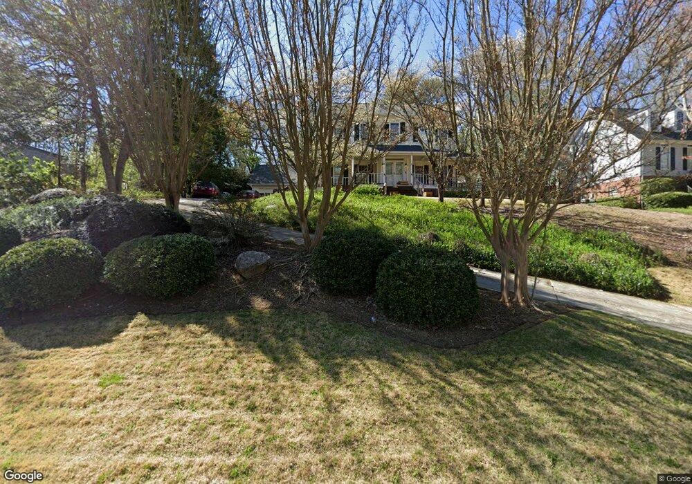
715 Saddle Ridge Trace Roswell, GA 30076
Saddle Creek NeighborhoodEstimated Value: $712,942 - $871,000
4
Beds
3
Baths
3,042
Sq Ft
$252/Sq Ft
Est. Value
About This Home
This home is located at 715 Saddle Ridge Trace, Roswell, GA 30076 and is currently estimated at $767,986, approximately $252 per square foot. 715 Saddle Ridge Trace is a home located in Fulton County with nearby schools including Sweet Apple Elementary School, Elkins Pointe Middle School, and Milton High School.
Ownership History
Date
Name
Owned For
Owner Type
Purchase Details
Closed on
Jan 28, 2008
Sold by
Mooney William R and Mooney Renee J
Bought by
Gardner Andrew B and Gardner Martha D
Current Estimated Value
Home Financials for this Owner
Home Financials are based on the most recent Mortgage that was taken out on this home.
Original Mortgage
$300,000
Outstanding Balance
$189,232
Interest Rate
6.06%
Mortgage Type
New Conventional
Estimated Equity
$578,755
Purchase Details
Closed on
Dec 10, 2001
Sold by
Mooney Renee J
Bought by
Mooney Renee J and Mooney William R
Home Financials for this Owner
Home Financials are based on the most recent Mortgage that was taken out on this home.
Original Mortgage
$178,000
Interest Rate
6.49%
Mortgage Type
New Conventional
Purchase Details
Closed on
Jan 31, 1997
Sold by
Oneal Richard D Janet S
Bought by
Mooney William R Renee J
Create a Home Valuation Report for This Property
The Home Valuation Report is an in-depth analysis detailing your home's value as well as a comparison with similar homes in the area
Home Values in the Area
Average Home Value in this Area
Purchase History
| Date | Buyer | Sale Price | Title Company |
|---|---|---|---|
| Gardner Andrew B | $375,000 | -- | |
| Mooney Renee J | -- | -- | |
| Mooney William R Renee J | $227,000 | -- |
Source: Public Records
Mortgage History
| Date | Status | Borrower | Loan Amount |
|---|---|---|---|
| Open | Gardner Andrew B | $300,000 | |
| Previous Owner | Mooney Renee J | $178,000 |
Source: Public Records
Tax History
| Year | Tax Paid | Tax Assessment Tax Assessment Total Assessment is a certain percentage of the fair market value that is determined by local assessors to be the total taxable value of land and additions on the property. | Land | Improvement |
|---|---|---|---|---|
| 2025 | $837 | $205,640 | $60,000 | $145,640 |
| 2023 | $5,815 | $206,000 | $59,760 | $146,240 |
| 2022 | $3,566 | $188,080 | $40,920 | $147,160 |
| 2021 | $4,222 | $186,440 | $28,120 | $158,320 |
| 2020 | $4,290 | $184,240 | $27,800 | $156,440 |
| 2019 | $676 | $150,520 | $29,840 | $120,680 |
| 2018 | $3,735 | $146,960 | $29,120 | $117,840 |
| 2017 | $3,447 | $130,080 | $18,880 | $111,200 |
| 2016 | $3,446 | $130,080 | $18,880 | $111,200 |
| 2015 | $4,169 | $130,080 | $18,880 | $111,200 |
| 2014 | $3,230 | $118,120 | $17,160 | $100,960 |
Source: Public Records
Map
Nearby Homes
- 1010 Applegate Dr
- 530 Camber Woods Dr
- 320 Barrow Downs
- 300 Saddle Creek Ln
- 2002 Blossom Hill Dr
- 1045 Jordan Ln
- 290 Rucker Rd
- 12220 Spring Place Ln
- 12250 Spring Place Ln
- 755 Anna Ln
- 4522 Orchard Trace
- 12250 Broadwell Rd
- 2370 Ashton Dr
- 280 N Farm Dr
- 406 Sweet Apple Cir
- 140 Derby Forest Ct
- 601 Sweet Apple Cir
- 1904 Sweet Apple Cir
- 1502 Sweet Apple Cir
- 135 Hembree Grove Ct
- 725 Saddle Ridge Trace Unit 9
- 705 Saddle Ridge Trace
- 120 Bridle Trail Ct
- 110 Bridle Trail Ct
- 735 Saddle Ridge Trace
- 710 Saddle Ridge Trace Unit 9
- 635 Saddle Ridge Trace
- 665 Saddle Ridge Trace
- 720 Saddle Ridge Trace Unit 9
- 700 Saddle Ridge Trace
- 130 Bridle Trail Ct
- 730 Saddle Ridge Trace
- 100 Bridle Trail Ct
- 745 Saddle Ridge Trace
- 690 Saddle Ridge Trace
- 680 Saddle Ridge Trace
- 740 Saddle Ridge Trace
- 140 Bridle Trail Ct
- 670 Saddle Ridge Trace
- 115 Bridle Trail Ct
Your Personal Tour Guide
Ask me questions while you tour the home.