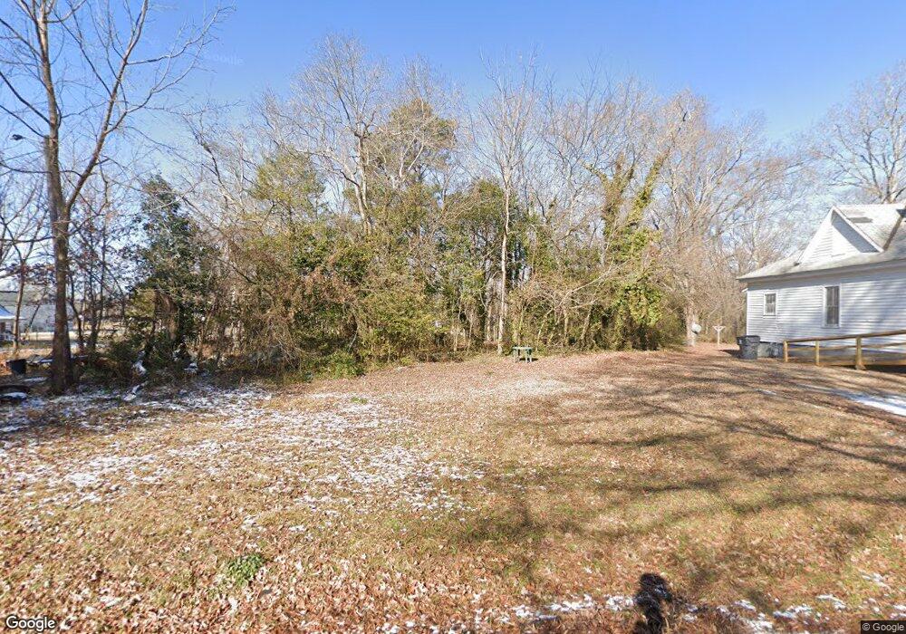
715 Vaughan St Henderson, NC 27536
Estimated Value: $15,000 - $102,000
2
Beds
1
Bath
900
Sq Ft
$65/Sq Ft
Est. Value
About This Home
This home is located at 715 Vaughan St, Henderson, NC 27536 and is currently estimated at $58,500, approximately $65 per square foot. 715 Vaughan St is a home located in Vance County with nearby schools including E.M. Rollins Elementary School, Vance County High School, and Henderson Collegiate Public Charter School.
Ownership History
Date
Name
Owned For
Owner Type
Purchase Details
Closed on
Nov 7, 2023
Sold by
Divine Path Properties Llc
Bought by
Bullock Leroy Dale
Current Estimated Value
Purchase Details
Closed on
Jan 12, 2021
Sold by
County Of Vance
Bought by
Divine Path Properties Llc
Purchase Details
Closed on
Dec 15, 2020
Sold by
City Of Henderson
Bought by
County Of Vance
Purchase Details
Closed on
May 10, 2012
Sold by
Danismine Corp
Bought by
City Of Henderson
Create a Home Valuation Report for This Property
The Home Valuation Report is an in-depth analysis detailing your home's value as well as a comparison with similar homes in the area
Purchase History
| Date | Buyer | Sale Price | Title Company |
|---|---|---|---|
| Bullock Leroy Dale | $6,500 | None Listed On Document | |
| Bullock Leroy Dale | $6,500 | None Listed On Document | |
| Divine Path Properties Llc | -- | None Available | |
| County Of Vance | -- | None Available | |
| City Of Henderson | $38,000 | None Available |
Source: Public Records
Tax History
| Year | Tax Paid | Tax Assessment Tax Assessment Total Assessment is a certain percentage of the fair market value that is determined by local assessors to be the total taxable value of land and additions on the property. | Land | Improvement |
|---|---|---|---|---|
| 2025 | $83 | $6,090 | $6,090 | $0 |
| 2024 | $83 | $6,090 | $6,090 | $0 |
| 2023 | $75 | $4,553 | $4,553 | $0 |
| 2022 | $73 | $4,553 | $4,553 | $0 |
| 2021 | $73 | $4,553 | $4,553 | $0 |
| 2020 | $73 | $4,553 | $4,553 | $0 |
| 2019 | $0 | $4,553 | $4,553 | $0 |
| 2018 | $73 | $4,553 | $4,553 | $0 |
| 2017 | $73 | $4,553 | $4,553 | $0 |
| 2016 | $64 | $4,553 | $4,553 | $0 |
| 2015 | $64 | $18,320 | $6,324 | $11,996 |
| 2014 | $89 | $6,324 | $6,324 | $0 |
Source: Public Records
Map
Nearby Homes
- 810 Vaughan St
- 432 N Chestnut St
- 375 W Rockspring St
- 0 Lot 19 Unit 10162980
- 228 Crozier St Unit 228/230
- 334 E Andrews Ave
- 880 Bridgers St
- 713 Water St
- 503 Adams St
- 691-693 Boddie St
- 936 Eaton St
- 128 Harrison Ave
- 628 Farrar Ave
- 605 E Montgomery St
- 246 Keene St
- 1061 N Pinkston St
- 0 Monroe St
- 630 East Ave
- 311 Arch St
- 417 Sunnyview Rd
- 721 Vaughan St
- 727 Vaughan St
- 00 Vaughan St
- 62 Rockspring St
- 736 Vaughan St
- 120 W Rockspring St
- 120 W Rock Spring St
- 219 W Rock Spring St
- 219 W Rockspring St
- 722 N Chestnut St
- 203 W Rockspring St
- 719 N Garnett St
- 203 Rock Spring St
- 125 W Rock Spring St
- 119 W Rockspring St
- 709 N Garnett St
- 119 W Rock Spring St
- 707 N Garnett St
- 747 N Garnett St
- 118 W Rockspring St
Your Personal Tour Guide
Ask me questions while you tour the home.