Estimated Value: $528,000 - $578,166
5
Beds
2
Baths
2,652
Sq Ft
$206/Sq Ft
Est. Value
About This Home
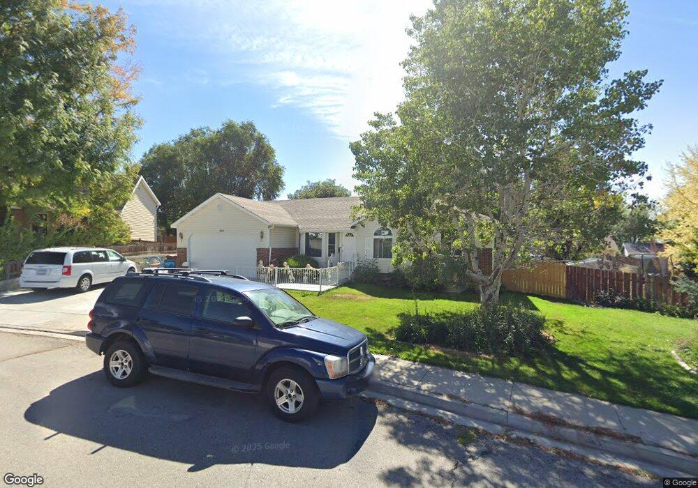
This home is located at 715 W 2220 N, Lehi, UT 84043 and is currently estimated at $545,542, approximately $205 per square foot. 715 W 2220 N is a home located in Utah County with nearby schools including Fox Hollow Elementary School, Skyridge High School, and Ignite Entrepreneurship Academy.
Ownership History
Date
Name
Owned For
Owner Type
Purchase Details
Closed on
Jan 24, 2020
Sold by
Larsen David Scott and Larsen Juli
Bought by
Rasimas Robert and Hinton David
Current Estimated Value
Purchase Details
Closed on
Oct 26, 2018
Sold by
Larsen David Scott and Larsen Jull
Bought by
Larsen David Scott and Larsen Julli
Home Financials for this Owner
Home Financials are based on the most recent Mortgage that was taken out on this home.
Original Mortgage
$125,000
Interest Rate
4.6%
Mortgage Type
Credit Line Revolving
Purchase Details
Closed on
Apr 25, 2018
Sold by
Larsen David S and Larsen Juli
Bought by
Larsen David Scott and Larsen Juli
Create a Home Valuation Report for This Property
The Home Valuation Report is an in-depth analysis detailing your home's value as well as a comparison with similar homes in the area
Home Values in the Area
Average Home Value in this Area
Purchase History
| Date | Buyer | Sale Price | Title Company |
|---|---|---|---|
| Rasimas Robert | -- | Access Title Co | |
| Larsen David Scott | -- | Accommodation | |
| Larsen David Scott | -- | Title Guarantee | |
| Larsen David Scott | -- | None Available |
Source: Public Records
Mortgage History
| Date | Status | Borrower | Loan Amount |
|---|---|---|---|
| Previous Owner | Larsen David Scott | $125,000 |
Source: Public Records
Tax History Compared to Growth
Tax History
| Year | Tax Paid | Tax Assessment Tax Assessment Total Assessment is a certain percentage of the fair market value that is determined by local assessors to be the total taxable value of land and additions on the property. | Land | Improvement |
|---|---|---|---|---|
| 2025 | $2,183 | $288,585 | $198,100 | $326,600 |
| 2024 | $2,183 | $255,420 | $0 | $0 |
| 2023 | $2,043 | $259,545 | $0 | $0 |
| 2022 | $2,183 | $268,950 | $0 | $0 |
| 2021 | $1,953 | $363,700 | $114,600 | $249,100 |
| 2020 | $1,841 | $338,900 | $106,100 | $232,800 |
| 2019 | $1,618 | $309,600 | $106,100 | $203,500 |
| 2018 | $1,620 | $293,000 | $96,800 | $196,200 |
| 2017 | $1,469 | $141,295 | $0 | $0 |
| 2016 | $1,426 | $127,215 | $0 | $0 |
| 2015 | $1,435 | $121,550 | $0 | $0 |
| 2014 | $1,323 | $111,430 | $0 | $0 |
Source: Public Records
Map
Nearby Homes
- 2287 N 750 W
- 595 W 2200 N
- 497 W 2280 N
- 497 W 2200 N
- 1011 W Mountain Way Unit 316
- 2687 N 900 W
- 804 W 2700 N
- 1817 W Bad Rock Cir
- 537 W Sandhill Dr
- 1755 N 250 W
- 2778 N 930 W
- 1272 W 1800 N
- 1610 N 1125 W
- 902 W 1500 N
- 2946 N 1080 W
- 1155 W 2980 N
- 1167 W 2980 N
- 1179 W 2980 N
- Rhapsody Plan at Lehi Terrace
- Gallivan Plan at Lehi Terrace