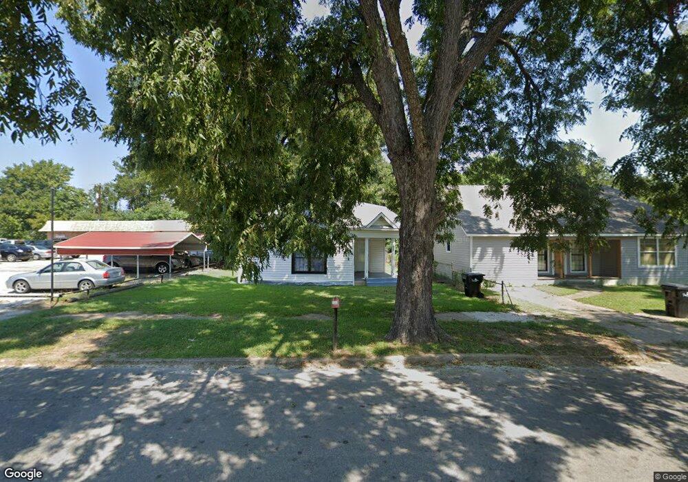
715 W Shepherd St Denison, TX 75020
Estimated Value: $126,790 - $158,000
--
Bed
--
Bath
1,158
Sq Ft
$123/Sq Ft
Est. Value
About This Home
This home is located at 715 W Shepherd St, Denison, TX 75020 and is currently estimated at $142,395, approximately $122 per square foot. 715 W Shepherd St is a home located in Grayson County with nearby schools including Houston Elementary School, Scott Middle School, and Denison High School.
Ownership History
Date
Name
Owned For
Owner Type
Purchase Details
Closed on
Mar 27, 2024
Sold by
Steward Walter
Bought by
E & Y Properties Llc
Current Estimated Value
Purchase Details
Closed on
Mar 26, 2008
Sold by
Brown Madeline B and Bryant Madeline
Bought by
Steward Walter
Purchase Details
Closed on
Jul 30, 2004
Sold by
Walker Lonnie L and Walker Viola W
Bought by
Brown Madeline B
Create a Home Valuation Report for This Property
The Home Valuation Report is an in-depth analysis detailing your home's value as well as a comparison with similar homes in the area
Home Values in the Area
Average Home Value in this Area
Purchase History
| Date | Buyer | Sale Price | Title Company |
|---|---|---|---|
| E & Y Properties Llc | -- | None Listed On Document | |
| Steward Walter | -- | None Available | |
| Brown Madeline B | -- | Grayson County Title Company |
Source: Public Records
Tax History Compared to Growth
Tax History
| Year | Tax Paid | Tax Assessment Tax Assessment Total Assessment is a certain percentage of the fair market value that is determined by local assessors to be the total taxable value of land and additions on the property. | Land | Improvement |
|---|---|---|---|---|
| 2025 | $2,407 | $94,856 | $51,000 | $43,856 |
| 2024 | $2,407 | $103,608 | $58,875 | $44,733 |
| 2023 | $1,956 | $86,340 | $39,000 | $47,340 |
| 2022 | $1,966 | $82,751 | $39,000 | $43,751 |
| 2021 | $1,349 | $53,499 | $19,950 | $33,549 |
| 2020 | $1,374 | $52,071 | $15,000 | $37,071 |
| 2019 | $1,315 | $47,796 | $8,550 | $39,246 |
| 2018 | $1,011 | $36,432 | $7,275 | $29,157 |
| 2017 | $905 | $32,341 | $3,000 | $29,341 |
| 2016 | $780 | $27,898 | $2,700 | $25,198 |
| 2015 | $885 | $31,346 | $3,150 | $28,196 |
| 2014 | $880 | $31,138 | $3,150 | $27,988 |
Source: Public Records
Map
Nearby Homes
- 702 S Barrett Ave
- 830 W Shepherd St
- 904 W Shepherd St
- 621 W Munson St
- 919 W Day St
- 901 W Munson St
- 920 W Morgan St
- 609 W Owing St
- 831 W Owing St
- 701 W Hull St Unit 101-2
- 511 W Munson St
- 826 W Crawford St
- 704 W Hull St
- 705 W Crawford St
- 1109 S Chandler Ave
- 1011 S Armstrong Ave
- 430 W Munson St
- 1007 S Scullin Ave
- 408 W Day St
- 615 W Texas St
- 713 W Shepherd St
- 701 W Shepherd St
- 631 S Barrett Ave
- 712 W Shepherd St
- 708 W Shepherd St
- 606 S Armstrong Ave Unit 1-3
- 606 S Armstrong Ave Unit 3
- 606 S Armstrong Ave Unit 2
- 606 S Armstrong Ave Unit 1
- 613 S Armstrong Ave
- 623 S Armstrong Ave
- 800 W Shepherd St
- 601 S Armstrong Ave
- 709 S Barrett Ave
- 809 W Shepherd St
- 712 S Armstrong Ave
- 804 W Shepherd St
- 717 W Day St
- 715 W Day St
- 721 W Day St