7150 Black Rock Rd NE Leland, NC 28451
Estimated Value: $295,000 - $418,000
3
Beds
3
Baths
1,544
Sq Ft
$227/Sq Ft
Est. Value
About This Home
This home is located at 7150 Black Rock Rd NE, Leland, NC 28451 and is currently estimated at $351,183, approximately $227 per square foot. 7150 Black Rock Rd NE is a home located in Brunswick County with nearby schools including Town Creek Elementary School and North Brunswick High School.
Ownership History
Date
Name
Owned For
Owner Type
Purchase Details
Closed on
Jul 20, 2006
Sold by
Strickland Joyce M and Strickland Earl T
Bought by
Lewis David T and Lewis Beverley P
Current Estimated Value
Home Financials for this Owner
Home Financials are based on the most recent Mortgage that was taken out on this home.
Original Mortgage
$144,000
Outstanding Balance
$84,969
Interest Rate
6.54%
Mortgage Type
Purchase Money Mortgage
Estimated Equity
$266,214
Create a Home Valuation Report for This Property
The Home Valuation Report is an in-depth analysis detailing your home's value as well as a comparison with similar homes in the area
Home Values in the Area
Average Home Value in this Area
Purchase History
| Date | Buyer | Sale Price | Title Company |
|---|---|---|---|
| Lewis David T | $160,000 | None Available |
Source: Public Records
Mortgage History
| Date | Status | Borrower | Loan Amount |
|---|---|---|---|
| Open | Lewis David T | $144,000 |
Source: Public Records
Tax History Compared to Growth
Tax History
| Year | Tax Paid | Tax Assessment Tax Assessment Total Assessment is a certain percentage of the fair market value that is determined by local assessors to be the total taxable value of land and additions on the property. | Land | Improvement |
|---|---|---|---|---|
| 2025 | $1,039 | $249,630 | $17,990 | $231,640 |
| 2024 | $1,039 | $249,630 | $17,990 | $231,640 |
| 2023 | $808 | $249,630 | $17,990 | $231,640 |
| 2022 | $808 | $130,510 | $14,720 | $115,790 |
| 2021 | $808 | $130,510 | $14,720 | $115,790 |
| 2020 | $808 | $130,510 | $14,720 | $115,790 |
| 2019 | $789 | $15,250 | $14,720 | $530 |
| 2018 | $796 | $13,770 | $13,080 | $690 |
| 2017 | $765 | $13,770 | $13,080 | $690 |
| 2016 | $740 | $13,770 | $13,080 | $690 |
| 2015 | $740 | $131,980 | $13,080 | $118,900 |
| 2014 | $666 | $127,894 | $17,300 | $110,594 |
Source: Public Records
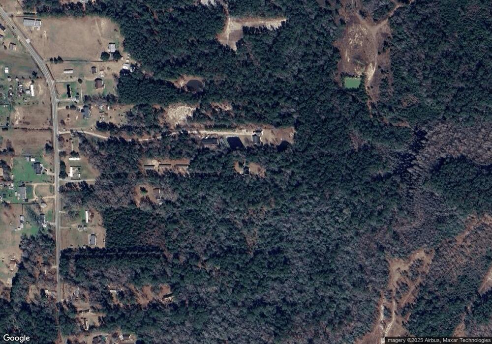
Map
Nearby Homes
- 0 74 76 Unit 100528666
- 3601 Maco Rd NE
- 3772 Old MacO Rd NE
- 7723 Shadowloop Trail NE
- 105 Hickory Dr
- 162 Sandy Creek Dr
- 543 Coronado Ave Unit 62
- Ibis Plan at Herring Shores
- Raven Plan at Herring Shores
- Starling Plan at Herring Shores
- Dunlin Plan at Herring Shores
- Longspur Plan at Herring Shores
- Rosella Plan at Herring Shores
- Goldcrest Plan at Herring Shores
- 564 Coronado Ave Unit 15
- 3016 Dillon Way NE
- 584 Coronado Ave Unit 20
- 563 Coronado Ave Unit 57
- 576 Coronado Ave Unit 18
- 572 Coronado Ave Unit 17
- 3224 Malmo Loop Rd NE
- 3184 Malmo Loop Rd NE
- 3262 Malmo Loop Rd NE
- 3204 Malmo Loop Rd NE
- 3266 Malmo Loop Rd NE
- 6908 Saddleback Trail NE
- 3150 Malmo Loop Rd NE
- 3286 Malmo Loop Rd NE
- 6970 Saddleback Trail NE
- 3222 Maco Rd NE
- 3266 Maco Rd NE
- 3210 Maco Rd NE
- 3295 Malmo Loop Rd NE
- 3274 Maco Rd NE
- 3120 Malmo Loop Rd NE
- 3200 Maco Rd NE
- 6916 Saddleback Trail NE
- 3124 Maco Rd NE
- 7129 Buck Hideaway Rd NE
- 3110 Malmo Loop Rd NE