Estimated Value: $458,964 - $523,000
3
Beds
4
Baths
2,371
Sq Ft
$206/Sq Ft
Est. Value
About This Home
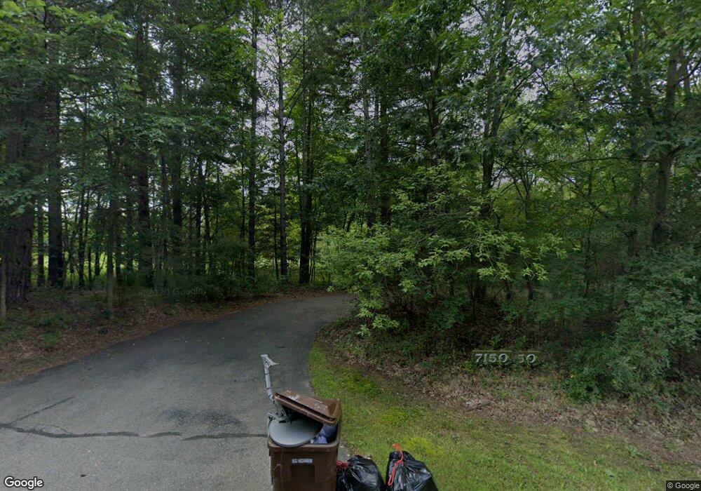
This home is located at 7150 Howe Rd, Bath, MI 48808 and is currently estimated at $487,491, approximately $205 per square foot. 7150 Howe Rd is a home located in Clinton County with nearby schools including Bath Elementary School, Bath Middle School, and Bath High School.
Ownership History
Date
Name
Owned For
Owner Type
Purchase Details
Closed on
Nov 22, 2017
Sold by
Sanderson David P and Sanderson Stephanie A
Bought by
Albert Lowell Eileen and Albert Daryl C
Current Estimated Value
Home Financials for this Owner
Home Financials are based on the most recent Mortgage that was taken out on this home.
Original Mortgage
$260,000
Outstanding Balance
$218,212
Interest Rate
3.91%
Mortgage Type
New Conventional
Estimated Equity
$269,279
Purchase Details
Closed on
Nov 12, 2010
Sold by
Wendela Brian H and Wendela Susan M
Bought by
Sanderson David P and Sanderson Stephanie A
Home Financials for this Owner
Home Financials are based on the most recent Mortgage that was taken out on this home.
Original Mortgage
$188,000
Interest Rate
4.31%
Mortgage Type
New Conventional
Create a Home Valuation Report for This Property
The Home Valuation Report is an in-depth analysis detailing your home's value as well as a comparison with similar homes in the area
Home Values in the Area
Average Home Value in this Area
Purchase History
| Date | Buyer | Sale Price | Title Company |
|---|---|---|---|
| Albert Lowell Eileen | $280,000 | None Available | |
| Sanderson David P | $235,000 | Midstate Title Agency Llc |
Source: Public Records
Mortgage History
| Date | Status | Borrower | Loan Amount |
|---|---|---|---|
| Open | Albert Lowell Eileen | $260,000 | |
| Previous Owner | Sanderson David P | $188,000 |
Source: Public Records
Tax History
| Year | Tax Paid | Tax Assessment Tax Assessment Total Assessment is a certain percentage of the fair market value that is determined by local assessors to be the total taxable value of land and additions on the property. | Land | Improvement |
|---|---|---|---|---|
| 2025 | $6,229 | $226,100 | $48,100 | $178,000 |
| 2024 | $20 | $216,700 | $48,100 | $168,600 |
| 2023 | $1,879 | $190,200 | $0 | $0 |
| 2022 | $5,655 | $171,500 | $40,900 | $130,600 |
| 2021 | $5,484 | $169,300 | $40,900 | $128,400 |
| 2020 | $5,345 | $157,500 | $39,600 | $117,900 |
| 2019 | $5,149 | $151,600 | $39,600 | $112,000 |
| 2018 | $4,850 | $138,300 | $39,600 | $98,700 |
| 2017 | $4,646 | $139,800 | $39,600 | $100,200 |
| 2016 | $4,633 | $137,000 | $40,600 | $96,400 |
| 2015 | -- | $138,500 | $0 | $0 |
| 2011 | -- | $127,700 | $0 | $0 |
Source: Public Records
Map
Nearby Homes
- 0 Upton Rd Unit 292779
- 11315 Tamarack Trail
- 7561 Clark Rd
- 5603 Sleight Rd
- 13330 Nelson Rd
- 4340 Sleight Rd
- 13780 Hamersley Dr
- 15385 Temple Dr
- 15100 Mulligan Dr
- 15250 Mulligan Dr Unit 79
- 15252 Mulligan Dr
- 15270 Mulligan Dr
- 5350 Ann Dr
- 00 E Alward Rd
- 9383 E Round Lake Rd
- Parcel 1 Alward Rd
- Parcel 2 Alward Rd
- 000 Alward Rd
- 0 E Chadwick Rd
- 9992 Woodbury Rd
Your Personal Tour Guide
Ask me questions while you tour the home.