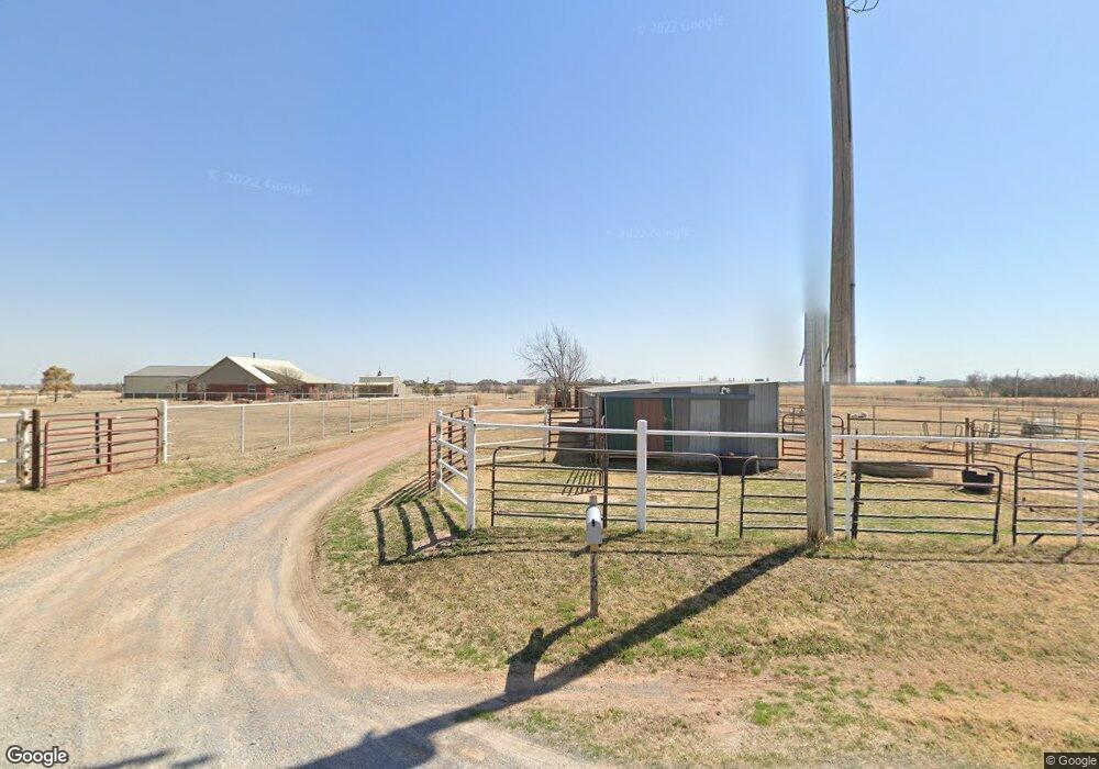
7150 S Evans Rd El Reno, OK 73036
Estimated Value: $271,000 - $304,000
--
Bed
--
Bath
2,240
Sq Ft
$126/Sq Ft
Est. Value
About This Home
This home is located at 7150 S Evans Rd, El Reno, OK 73036 and is currently estimated at $281,886, approximately $125 per square foot. 7150 S Evans Rd is a home located in Canadian County with nearby schools including Hillcrest Elementary School, Lincoln Learning Center, and Rose Witcher Elementary School.
Ownership History
Date
Name
Owned For
Owner Type
Purchase Details
Closed on
May 22, 2013
Sold by
Riggs Ernest Lee and Riggs Cathe
Bought by
Lander Richard M and Lander Terri L
Current Estimated Value
Purchase Details
Closed on
May 21, 2013
Sold by
Riggs Larry Royce and Riggs Kathy
Bought by
Lander Richard M and Lander Terri L
Purchase Details
Closed on
Aug 1, 2001
Sold by
Riggs Royce and Willie Fay
Purchase Details
Closed on
Jun 10, 1985
Sold by
Chisholm Trail West Inc
Create a Home Valuation Report for This Property
The Home Valuation Report is an in-depth analysis detailing your home's value as well as a comparison with similar homes in the area
Home Values in the Area
Average Home Value in this Area
Purchase History
| Date | Buyer | Sale Price | Title Company |
|---|---|---|---|
| Lander Richard M | $13,333 | Ort | |
| Lander Richard M | $13,333 | Ort | |
| -- | -- | -- | |
| -- | $8,500 | -- |
Source: Public Records
Tax History Compared to Growth
Tax History
| Year | Tax Paid | Tax Assessment Tax Assessment Total Assessment is a certain percentage of the fair market value that is determined by local assessors to be the total taxable value of land and additions on the property. | Land | Improvement |
|---|---|---|---|---|
| 2024 | $1,222 | $17,529 | $1,560 | $15,969 |
| 2023 | $1,222 | $17,020 | $1,492 | $15,528 |
| 2022 | $1,195 | $16,524 | $1,478 | $15,046 |
| 2021 | $1,164 | $16,043 | $1,457 | $14,586 |
| 2020 | $1,114 | $15,575 | $1,425 | $14,150 |
| 2019 | $1,085 | $15,122 | $1,396 | $13,726 |
| 2018 | $1,067 | $14,681 | $1,368 | $13,313 |
| 2017 | $1,042 | $14,254 | $1,368 | $12,886 |
| 2016 | $989 | $14,254 | $1,368 | $12,886 |
| 2015 | -- | $13,436 | $1,368 | $12,068 |
| 2014 | -- | $13,603 | $1,368 | $12,235 |
Source: Public Records
Map
Nearby Homes
- 7465 Legacy Pointe Cir
- 3530 S Manning Rd
- 6730 Winchester Dr
- 4405 Winchester Dr
- 4632 S Manning Rd
- 8576 Kayce St
- 8595 Kayce St
- 8626 Kayce St
- 8625 Kayce St
- 8655 Kayce St
- 8545 Kayce St
- 8565 Kayce St
- 7145 S Manning Rd
- 8484 Rip Way
- 8454 Rip Way
- 4747 Dutton Cir
- 8574 Rip Way
- 8384 Rip Way
- 8604 Rip Way
- 8634 Rip Way
- 7150 S Evans Rd
- 6595 Reno Rd
- 6595 E Reno Rd
- 6985 S Evans Rd
- 6925 S Evans Rd
- 5050 Manning St
- 6615 Reno E
- 7384 Legacy Pointe
- 7216 Legacy Pointe Cir
- 7254 Legacy Pointe Cir
- 7188 Legacy Pointe
- 7340 Legacy Pointe
- 7185 Legacy Pointe
- 7462 Legacy Pointe
- 7299 Legacy Pointe
- 7381 Legacy Pointe
- 7423 Legacy Pointe
- 7219 Legacy Pointe
- 16001 SW 29th St
- 3100 S Banner Trail