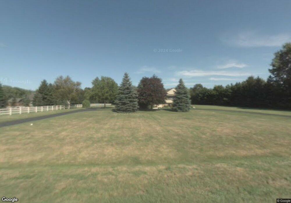
7151 Maple Rd Frankenmuth, MI 48734
Estimated Value: $415,103 - $458,000
3
Beds
2
Baths
2,391
Sq Ft
$180/Sq Ft
Est. Value
About This Home
This home is located at 7151 Maple Rd, Frankenmuth, MI 48734 and is currently estimated at $430,368, approximately $179 per square foot. 7151 Maple Rd is a home located in Saginaw County with nearby schools including List Elementary, E.F. Rittmueller Middle School, and Frankenmuth High School.
Ownership History
Date
Name
Owned For
Owner Type
Purchase Details
Closed on
Aug 25, 2003
Current Estimated Value
Home Financials for this Owner
Home Financials are based on the most recent Mortgage that was taken out on this home.
Original Mortgage
$150,000
Interest Rate
6.49%
Mortgage Type
Purchase Money Mortgage
Purchase Details
Closed on
Oct 16, 2002
Sold by
Warack John A
Bought by
Scott R Rausch Inter Vivos Trust
Home Financials for this Owner
Home Financials are based on the most recent Mortgage that was taken out on this home.
Original Mortgage
$150,000
Interest Rate
6.22%
Create a Home Valuation Report for This Property
The Home Valuation Report is an in-depth analysis detailing your home's value as well as a comparison with similar homes in the area
Purchase History
| Date | Buyer | Sale Price | Title Company |
|---|---|---|---|
| -- | $300,000 | -- | |
| Klobucher Joseph D | $300,000 | -- | |
| Scott R Rausch Inter Vivos Trust | $245,000 | -- |
Source: Public Records
Mortgage History
| Date | Status | Borrower | Loan Amount |
|---|---|---|---|
| Previous Owner | Klobucher Joseph D | $150,000 | |
| Previous Owner | Scott R Rausch Inter Vivos Trust | $150,000 |
Source: Public Records
Tax History
| Year | Tax Paid | Tax Assessment Tax Assessment Total Assessment is a certain percentage of the fair market value that is determined by local assessors to be the total taxable value of land and additions on the property. | Land | Improvement |
|---|---|---|---|---|
| 2025 | $1,533 | $194,800 | $0 | $0 |
| 2024 | $1,486 | $193,200 | $0 | $0 |
| 2023 | $1,416 | $181,200 | $0 | $0 |
| 2022 | $4,448 | $153,700 | $0 | $0 |
| 2021 | $4,066 | $144,400 | $0 | $0 |
| 2020 | $3,966 | $138,700 | $0 | $0 |
| 2019 | $3,785 | $126,100 | $0 | $0 |
| 2018 | $1,234 | $122,700 | $0 | $0 |
| 2017 | $3,414 | $124,700 | $0 | $0 |
| 2016 | $3,348 | $114,400 | $0 | $0 |
| 2014 | -- | $111,900 | $0 | $88,000 |
| 2013 | -- | $108,600 | $0 | $0 |
Source: Public Records
Map
Nearby Homes
- 6450 Curtis Rd
- 9351 Lange Rd
- 12 Wilshire Dr
- 6 Wilshire Dr Unit A6
- 2 Wilshire Dr Unit A4
- 10 Harlan Ct
- 000 W Tuscola St
- Parcel E W Rolling Hills Dr
- Parcel B W Rolling Hills Dr
- Parcel D W Rolling Hills Dr
- Parcel F W Rolling Hills Dr
- Parcel C W Rolling Hills Dr
- 4705 Weiss Rd
- 7720 Rookway Rd
- 640 Heine St
- 53 Pine Grove Dr
- 249 Churchgrove Rd
- 0 Judd Rd
- 456 Groveland Dr
- 226 List St
- 7168 Maple Rd
- 7199 Maple Rd
- 7065 Maple Rd
- 7255 Maple Rd
- 7250 Maple Rd
- 7062 Maple Rd
- 7030 Maple Rd
- 7301 Maple Rd
- 7290 Maple Rd
- 8182 E Curtis Rd
- 7344 Maple Rd
- 7321 Maple Rd
- 7902 E Curtis Rd
- 8175 E Curtis Rd
- 7905 E Curtis Rd
- 7905 E Curtis Rd
- 7836 E Curtis Rd
- 7409 Maple Rd
- 7815 E Curtis Rd
- 7780 E Curtis Rd
Your Personal Tour Guide
Ask me questions while you tour the home.