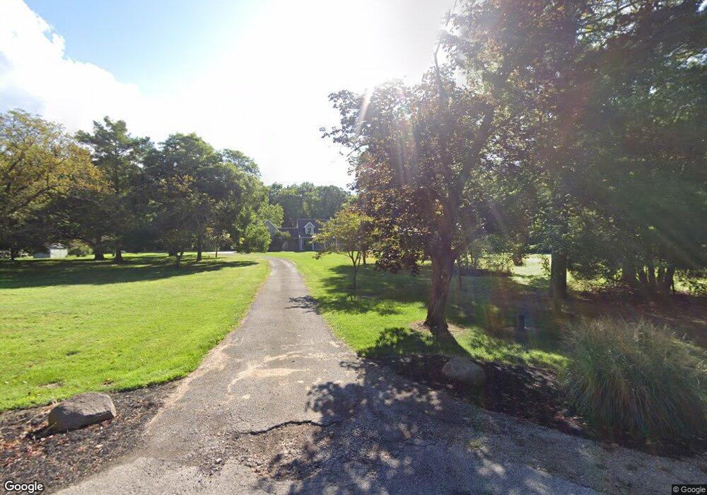
7151 S Dewey Rd Amherst, OH 44001
Estimated Value: $607,000 - $766,793
4
Beds
4
Baths
2,775
Sq Ft
$245/Sq Ft
Est. Value
About This Home
This home is located at 7151 S Dewey Rd, Amherst, OH 44001 and is currently estimated at $679,698, approximately $244 per square foot. 7151 S Dewey Rd is a home located in Lorain County with nearby schools including Powers Elementary School, Walter G. Nord Middle School, and Amherst Junior High School.
Ownership History
Date
Name
Owned For
Owner Type
Purchase Details
Closed on
Jun 12, 2023
Sold by
Rhodes Connie L
Bought by
Rhodes Kevin M
Current Estimated Value
Purchase Details
Closed on
Mar 5, 2014
Sold by
Griffith Todd A and Griffith Diane R
Bought by
Rhodes Kevin M and Rhodes Connie L
Home Financials for this Owner
Home Financials are based on the most recent Mortgage that was taken out on this home.
Original Mortgage
$288,000
Interest Rate
2.39%
Mortgage Type
Adjustable Rate Mortgage/ARM
Purchase Details
Closed on
Sep 13, 2010
Sold by
Butcher Jack and Butcher Karen K
Bought by
Griffith Todd A and Griffith Diane R
Home Financials for this Owner
Home Financials are based on the most recent Mortgage that was taken out on this home.
Original Mortgage
$200,000
Interest Rate
4.54%
Mortgage Type
New Conventional
Create a Home Valuation Report for This Property
The Home Valuation Report is an in-depth analysis detailing your home's value as well as a comparison with similar homes in the area
Home Values in the Area
Average Home Value in this Area
Purchase History
| Date | Buyer | Sale Price | Title Company |
|---|---|---|---|
| Rhodes Kevin M | -- | None Listed On Document | |
| Rhodes Kevin M | $360,000 | Old Republic National Title | |
| Griffith Todd A | $330,000 | Old Republic |
Source: Public Records
Mortgage History
| Date | Status | Borrower | Loan Amount |
|---|---|---|---|
| Previous Owner | Rhodes Kevin M | $288,000 | |
| Previous Owner | Griffith Todd A | $200,000 |
Source: Public Records
Tax History Compared to Growth
Tax History
| Year | Tax Paid | Tax Assessment Tax Assessment Total Assessment is a certain percentage of the fair market value that is determined by local assessors to be the total taxable value of land and additions on the property. | Land | Improvement |
|---|---|---|---|---|
| 2024 | $8,866 | $208,656 | $31,931 | $176,726 |
| 2023 | $9,301 | $187,117 | $25,172 | $161,945 |
| 2022 | $8,930 | $187,117 | $25,172 | $161,945 |
| 2021 | $8,951 | $187,117 | $25,172 | $161,945 |
| 2020 | $8,400 | $155,670 | $20,940 | $134,730 |
| 2019 | $8,238 | $155,670 | $20,940 | $134,730 |
| 2018 | $8,277 | $155,670 | $20,940 | $134,730 |
| 2017 | $7,531 | $135,000 | $20,170 | $114,830 |
| 2016 | $6,888 | $122,720 | $20,170 | $102,550 |
| 2015 | $6,869 | $122,720 | $20,170 | $102,550 |
| 2014 | $6,622 | $117,990 | $19,390 | $98,600 |
| 2013 | $6,640 | $117,990 | $19,390 | $98,600 |
Source: Public Records
Map
Nearby Homes
- 7475 S Dewey Rd
- 7325 Hidden Glen Dr
- 574 Fieldstone Dr
- 45200 Middle Ridge Rd
- 752 Trails End Dr
- 1140 Woodside Dr
- 135 Ridgeland Dr
- 7007 Hidden Valley Dr
- 6394 Balsam Dr
- 0 Middle Ridge Rd Unit 5102632
- 0 Middle Ridge Rd Unit 5160578
- 891 Park Ave
- 179 Jackson St
- 653 Brennan Dr
- 8 Riviera Ave
- 105 N Woodhill Dr
- 60 Flamingo Ave
- 812 Bearing Ct
- 357 Rockridge Dr
- 825 Cleveland Ave
- 7155 S Dewey Rd
- 7147 S Dewey Rd
- 7135 S Dewey Rd
- 7219 S Dewey Rd
- 512 Stone Valley Dr
- 510 Stone Valley Dr
- 514 Stone Valley Dr
- 508 Stone Valley Dr
- 516 Stone Valley Dr
- 7210 S Dewey Rd
- 518 Stone Valley Dr
- 504 Stone Valley Dr
- 7130 S Dewey Rd
- 7229 S Dewey Rd
- 520 Stone Valley Dr
- 502 Stone Valley Dr
- 881 Moss Canyon Dr
- 7007 S Dewey Rd
- 522 Stone Valley Dr
- 209 Cotton Tail Ct