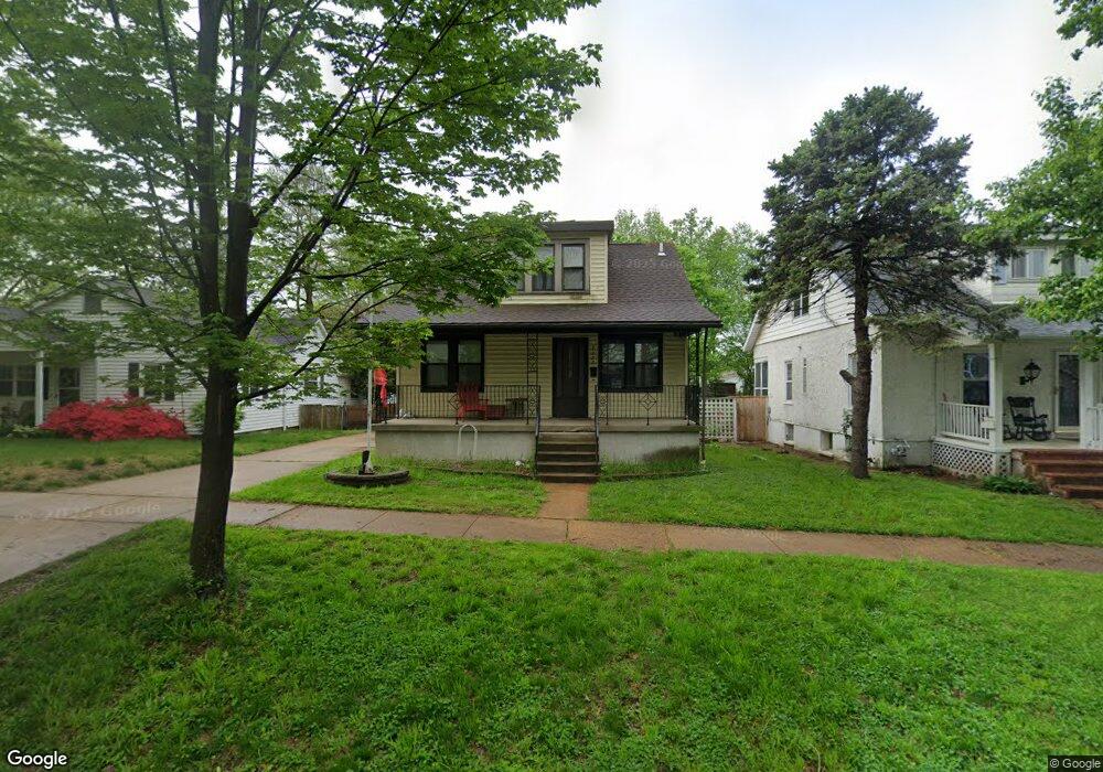
7152 Lindenwood Place Saint Louis, MO 63109
Lindenwood Park NeighborhoodEstimated Value: $175,438 - $268,000
--
Bed
2
Baths
1,590
Sq Ft
$131/Sq Ft
Est. Value
About This Home
This home is located at 7152 Lindenwood Place, Saint Louis, MO 63109 and is currently estimated at $208,610, approximately $131 per square foot. 7152 Lindenwood Place is a home located in St. Louis City with nearby schools including Mason Elementary School, Long International Middle School, and Roosevelt High School.
Ownership History
Date
Name
Owned For
Owner Type
Purchase Details
Closed on
Jun 12, 2019
Sold by
Vincent Michael Leslie
Bought by
Vincent Michael Leslie and Bartz Cynthia P
Current Estimated Value
Purchase Details
Closed on
Feb 19, 2004
Sold by
Vincent Hila Jeanette
Bought by
Vincent Michael Leslie
Create a Home Valuation Report for This Property
The Home Valuation Report is an in-depth analysis detailing your home's value as well as a comparison with similar homes in the area
Home Values in the Area
Average Home Value in this Area
Purchase History
| Date | Buyer | Sale Price | Title Company |
|---|---|---|---|
| Vincent Michael Leslie | -- | None Available | |
| Vincent Michael Leslie | -- | -- |
Source: Public Records
Tax History Compared to Growth
Tax History
| Year | Tax Paid | Tax Assessment Tax Assessment Total Assessment is a certain percentage of the fair market value that is determined by local assessors to be the total taxable value of land and additions on the property. | Land | Improvement |
|---|---|---|---|---|
| 2025 | $2,306 | $32,080 | $2,850 | $29,230 |
| 2024 | $2,194 | $27,210 | $2,850 | $24,360 |
| 2023 | $2,194 | $27,210 | $2,850 | $24,360 |
| 2022 | $2,094 | $24,990 | $2,850 | $22,140 |
| 2021 | $2,091 | $24,990 | $2,850 | $22,140 |
| 2020 | $1,895 | $22,800 | $2,850 | $19,950 |
| 2019 | $1,889 | $22,800 | $2,850 | $19,950 |
| 2018 | $1,690 | $19,740 | $2,620 | $17,120 |
| 2017 | $1,662 | $19,740 | $2,620 | $17,120 |
| 2016 | $1,633 | $19,150 | $2,620 | $16,530 |
| 2015 | $1,481 | $19,150 | $2,620 | $16,530 |
| 2014 | $1,453 | $19,150 | $2,620 | $16,530 |
| 2013 | -- | $18,790 | $2,620 | $16,170 |
Source: Public Records
Map
Nearby Homes
- 7127 Bancroft Ave
- 7081 Winona Ave
- 7120 Bancroft Ave
- 7114 Bancroft Ave
- 7081 Bancroft Ave
- 7047 Tholozan Ave
- 3815 Mccausland Ave Unit 4
- 7059 Lansdowne Ave
- 7038 Pernod Ave
- 3558 Wabash Ave
- 7048 Lansdowne Ave
- 7114 Drury Ln
- 7044 Lansdowne Ave
- 6973 Winona Ave
- 6962 Sutherland Ave
- 6968 Lansdowne Ave
- 4121 Shrewsbury Ave
- 4126 Exeter Ave
- 7512 Suffolk Ave
- 3723 Commonwealth Ave
- 7156 Lindenwood Place
- 7146 Lindenwood Place
- 7200 Lindenwood Place
- 7142 Lindenwood Place
- 7138 Lindenwood Place
- 7212 Lindenwood Place
- 7153 Winona Ave
- 7155 Winona Ave
- 7132 Lindenwood Place
- 7163 Winona Ave
- 7207 Lindenwood Place
- 7137 Winona Ave
- 7128 Lindenwood Place
- 7153 Lindenwood Place
- 7149 Lindenwood Place
- 7157 Lindenwood Place
- 7149 Winona Ave
- 7161 Lindenwood Place
- 7145 Lindenwood Place
- 7165 Lindenwood Place