7153 Glenburnie Dr Clarkston, MI 48346
Estimated Value: $313,000 - $381,000
3
Beds
2
Baths
1,314
Sq Ft
$264/Sq Ft
Est. Value
About This Home
This home is located at 7153 Glenburnie Dr, Clarkston, MI 48346 and is currently estimated at $347,465, approximately $264 per square foot. 7153 Glenburnie Dr is a home located in Oakland County with nearby schools including Everest Academy, Springfield Christian Academy, and Our Lady Of The Lakes Catholic School.
Ownership History
Date
Name
Owned For
Owner Type
Purchase Details
Closed on
Mar 8, 2002
Sold by
Davis Frank V
Bought by
Vickers Paul D
Current Estimated Value
Home Financials for this Owner
Home Financials are based on the most recent Mortgage that was taken out on this home.
Original Mortgage
$161,486
Outstanding Balance
$66,317
Interest Rate
6.82%
Estimated Equity
$281,148
Purchase Details
Closed on
Jul 17, 2001
Sold by
Davis Ann C
Bought by
Davis Ann C
Create a Home Valuation Report for This Property
The Home Valuation Report is an in-depth analysis detailing your home's value as well as a comparison with similar homes in the area
Home Values in the Area
Average Home Value in this Area
Purchase History
| Date | Buyer | Sale Price | Title Company |
|---|---|---|---|
| Vickers Paul D | $174,000 | -- | |
| Davis Ann C | -- | -- |
Source: Public Records
Mortgage History
| Date | Status | Borrower | Loan Amount |
|---|---|---|---|
| Open | Vickers Paul D | $161,486 |
Source: Public Records
Tax History Compared to Growth
Tax History
| Year | Tax Paid | Tax Assessment Tax Assessment Total Assessment is a certain percentage of the fair market value that is determined by local assessors to be the total taxable value of land and additions on the property. | Land | Improvement |
|---|---|---|---|---|
| 2024 | $1,643 | $129,000 | $44,100 | $84,900 |
| 2023 | $2,215 | $108,600 | $32,200 | $76,400 |
| 2022 | $2,215 | $104,500 | $32,200 | $72,300 |
| 2021 | $2,215 | $101,800 | $32,700 | $69,100 |
| 2020 | $1,434 | $85,200 | $19,600 | $65,600 |
| 2018 | $2,197 | $79,600 | $18,600 | $61,000 |
| 2015 | -- | $69,700 | $0 | $0 |
| 2014 | -- | $67,400 | $0 | $0 |
| 2011 | -- | $66,500 | $0 | $0 |
Source: Public Records
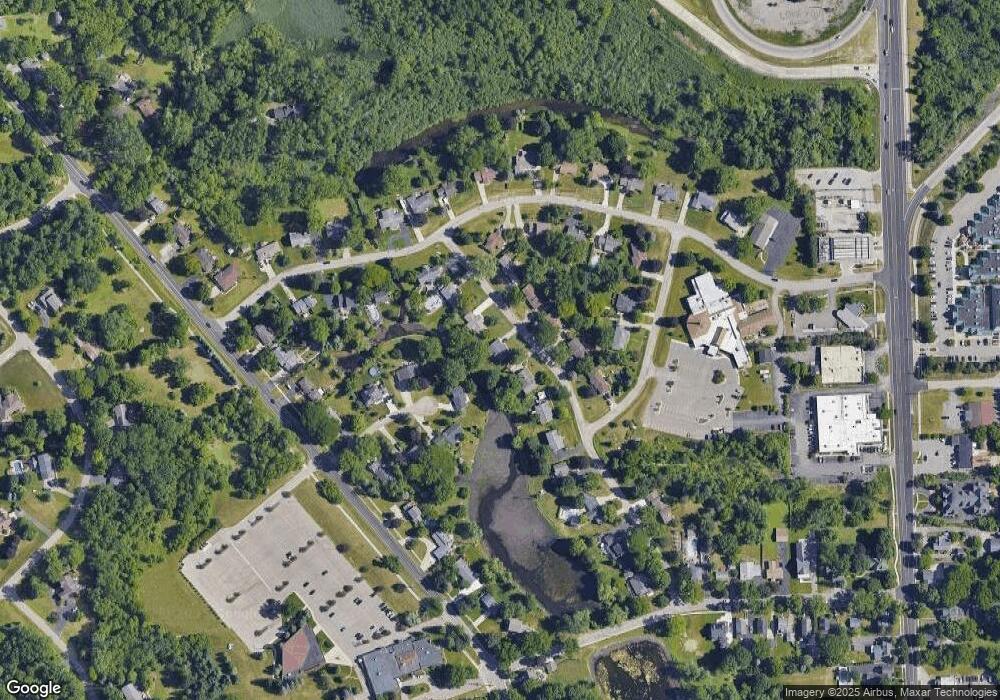
Map
Nearby Homes
- 155 N Main St
- 62 Robertson Ct
- Townview drive Townview Dr
- 0000 Deerhill
- 7181 Hillside Dr
- 59 S Main St
- 90 E Washington St
- 6512 White Lake Rd
- 7680 Allen Rd
- 6710 Laurelton
- 60 Waldon Rd
- 8000 Barrington Ln Unit 3
- 6171 S Main St
- 6556 Amy Dr
- 7756 Phelan Dr
- 7795 Fieldstone Ridge
- 6095 Sunnydale Rd
- 6024 Overlook
- 6319 Eastlawn Ave
- V/L Dixie Hwy
- 7165 Glenburnie Dr
- 7141 Glenburnie Dr
- 7134 Buttercup Ln
- 7177 Glenburnie Dr
- 7129 Glenburnie Dr Unit Bldg-Unit
- 7129 Glenburnie Dr
- 7140 Buttercup Ln
- 7162 Glenburnie Dr
- 7150 Glenburnie Dr
- 7128 Buttercup Ln
- 7174 Glenburnie Dr
- 6861 Bluegrass Dr
- 7138 Glenburnie Dr
- 7117 Glenburnie Dr
- 7146 Buttercup Ln
- 7186 Glenburnie Dr
- 6869 Bluegrass Dr
- 7126 Glenburnie Dr
- 7122 Buttercup Ln
- 7159 Snowflake Dr