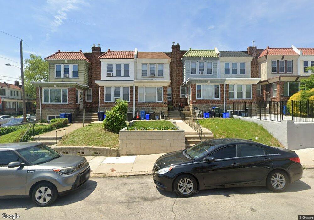
7154 Andrews Ave Philadelphia, PA 19138
West Oak Lane NeighborhoodEstimated Value: $221,938 - $277,000
3
Beds
2
Baths
1,194
Sq Ft
$202/Sq Ft
Est. Value
About This Home
This home is located at 7154 Andrews Ave, Philadelphia, PA 19138 and is currently estimated at $241,485, approximately $202 per square foot. 7154 Andrews Ave is a home located in Philadelphia County with nearby schools including William Rowen School, Gen. Louis Wagner Middle School, and Martin Luther King High School.
Ownership History
Date
Name
Owned For
Owner Type
Purchase Details
Closed on
Sep 19, 2011
Sold by
Pereira Rafael and Perdigao Nuno
Bought by
Hearst Tracy
Current Estimated Value
Home Financials for this Owner
Home Financials are based on the most recent Mortgage that was taken out on this home.
Original Mortgage
$142,200
Outstanding Balance
$97,703
Interest Rate
4.33%
Mortgage Type
FHA
Estimated Equity
$143,782
Purchase Details
Closed on
Jan 26, 2011
Sold by
Scott Harold A and Estate Of Grace Scott
Bought by
Pereira Rafael and Perdigao Nuno
Create a Home Valuation Report for This Property
The Home Valuation Report is an in-depth analysis detailing your home's value as well as a comparison with similar homes in the area
Home Values in the Area
Average Home Value in this Area
Purchase History
| Date | Buyer | Sale Price | Title Company |
|---|---|---|---|
| Hearst Tracy | $145,900 | None Available | |
| Pereira Rafael | $70,000 | None Available |
Source: Public Records
Mortgage History
| Date | Status | Borrower | Loan Amount |
|---|---|---|---|
| Open | Hearst Tracy | $142,200 |
Source: Public Records
Tax History Compared to Growth
Tax History
| Year | Tax Paid | Tax Assessment Tax Assessment Total Assessment is a certain percentage of the fair market value that is determined by local assessors to be the total taxable value of land and additions on the property. | Land | Improvement |
|---|---|---|---|---|
| 2025 | $2,255 | $236,000 | $47,200 | $188,800 |
| 2024 | $2,255 | $236,000 | $47,200 | $188,800 |
| 2023 | $2,255 | $161,100 | $32,200 | $128,900 |
| 2022 | $1,583 | $116,100 | $32,200 | $83,900 |
| 2021 | $2,213 | $0 | $0 | $0 |
| 2020 | $2,213 | $0 | $0 | $0 |
| 2019 | $2,311 | $0 | $0 | $0 |
| 2018 | $1,524 | $0 | $0 | $0 |
| 2017 | $1,524 | $0 | $0 | $0 |
| 2016 | $1,104 | $0 | $0 | $0 |
| 2015 | $1,057 | $0 | $0 | $0 |
| 2014 | -- | $108,900 | $12,403 | $96,497 |
| 2012 | -- | $14,880 | $2,678 | $12,202 |
Source: Public Records
Map
Nearby Homes
- 7188 N Uber St
- 7159 N 20th St
- 1911 72nd Ave
- 7153 N 19th St
- 6943 N 19th St
- 1825 Dallas St
- 1996 73rd Ave
- 1847 Plymouth St
- 1975 73rd Ave
- 1979 73rd Ave
- 1810 72nd Ave
- 7092 Forrest Ave
- 1815 Elston St
- 1837 73rd Ave
- 1980 Penfield St
- 1934 69th Ave
- 6908 Ogontz Ave
- 1947 Penfield St
- 7206 Forrest Ave
- 6905 Forrest Ave
- 7156 Andrews Ave
- 7152 Andrews Ave
- 7150 Andrews Ave
- 7158 Andrews Ave
- 7160 Andrews Ave
- 7162 Andrews Ave
- 7166 Andrews Ave
- 7168 Andrews Ave
- 7157 N Uber St
- 7155 N Uber St
- 7159 N Uber St
- 7153 N Uber St
- 7161 N Uber St
- 7163 N Uber St
- 7170 Andrews Ave
- 7151 N Uber St
- 1958 Dallas Rd
- 1954 Dallas Rd
- 7167 N Uber St
- 1956 Dallas Rd