7154 N Henderson Ford Rd Mooresville, IN 46158
Estimated Value: $353,000 - $498,000
3
Beds
2
Baths
1,951
Sq Ft
$218/Sq Ft
Est. Value
About This Home
This home is located at 7154 N Henderson Ford Rd, Mooresville, IN 46158 and is currently estimated at $424,527, approximately $217 per square foot. 7154 N Henderson Ford Rd is a home located in Morgan County with nearby schools including Martinsville High School.
Ownership History
Date
Name
Owned For
Owner Type
Purchase Details
Closed on
Dec 27, 2007
Sold by
Horton Gene E and Horton Janice
Bought by
Fox Amy M
Current Estimated Value
Home Financials for this Owner
Home Financials are based on the most recent Mortgage that was taken out on this home.
Original Mortgage
$215,000
Outstanding Balance
$135,500
Interest Rate
6.13%
Mortgage Type
New Conventional
Estimated Equity
$289,027
Create a Home Valuation Report for This Property
The Home Valuation Report is an in-depth analysis detailing your home's value as well as a comparison with similar homes in the area
Home Values in the Area
Average Home Value in this Area
Purchase History
| Date | Buyer | Sale Price | Title Company |
|---|---|---|---|
| Fox Amy M | -- | -- |
Source: Public Records
Mortgage History
| Date | Status | Borrower | Loan Amount |
|---|---|---|---|
| Open | Fox Amy M | $215,000 |
Source: Public Records
Tax History Compared to Growth
Tax History
| Year | Tax Paid | Tax Assessment Tax Assessment Total Assessment is a certain percentage of the fair market value that is determined by local assessors to be the total taxable value of land and additions on the property. | Land | Improvement |
|---|---|---|---|---|
| 2024 | $2,584 | $411,700 | $127,700 | $284,000 |
| 2023 | $2,450 | $397,200 | $127,700 | $269,500 |
| 2022 | $2,090 | $367,900 | $118,700 | $249,200 |
| 2021 | $1,620 | $307,300 | $100,100 | $207,200 |
| 2020 | $1,340 | $278,300 | $70,200 | $208,100 |
| 2019 | $1,302 | $255,300 | $70,200 | $185,100 |
| 2018 | $1,206 | $244,400 | $70,200 | $174,200 |
| 2017 | $1,187 | $242,800 | $70,200 | $172,600 |
| 2016 | $1,142 | $224,500 | $70,200 | $154,300 |
| 2014 | $878 | $225,500 | $70,200 | $155,300 |
| 2013 | $878 | $246,300 | $70,200 | $176,100 |
Source: Public Records
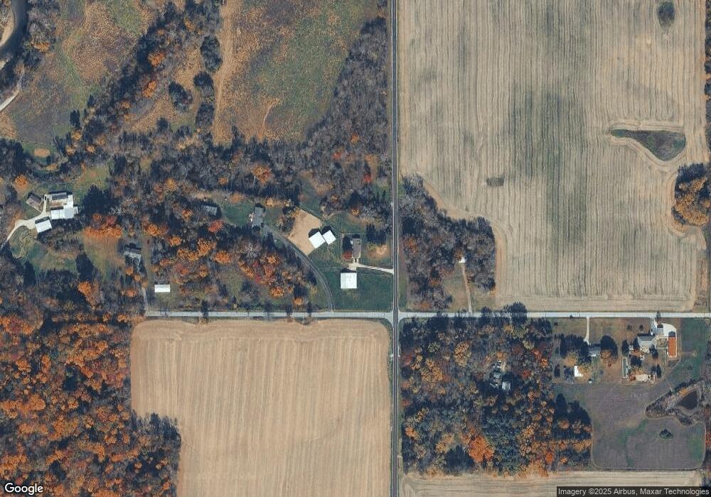
Map
Nearby Homes
- 202 S Church St
- 101 S Church St
- 107 S Main St
- 7591-7593 N Old State Road 67
- 7591 N Old State Road 67
- 7591 - 7593 N Old State Road 67
- 0 N Gray Rd Unit MBR22016886
- 7247 Bethany Blvd
- Lot 2 Whitetail Ridge
- Lot 6 Whitetail Ridge
- Lot 5 Whitetail Ridge
- Lot 3 Whitetail Ridge
- Lot 1 Whitetail Ridge
- 0 Gray Rd Unit 11236965
- 8245 Henderson Ridge Dr
- 28 Rohn Rd
- 602 Meadows Dr
- 8103 N Maple Dr
- Lot 6 Watson Rd
- 6020 E Smokey View Rd
- 7154 N Henderson Ford Rd
- 3742 E Rinker Rd
- 6945 N Henderson Ford Rd
- 4147 E Rinker Rd
- 3692 E Rinker Rd
- 4159 E Rinker Rd
- 3624 E Rinker Rd
- 3624 E Rinker Rd
- 4175 E Rinker Rd
- 3550 E Rinker Rd
- 4300 E Rinker Rd
- 6803 N Henderson Ford Rd
- 4353 E Rinker Rd
- 7305 N Bottom Rd
- 7435 N Henderson Ford Rd
- 4391 E Rinker Rd
- 6933 N Bottom Rd
- 7512 N Henderson Ford Rd
- 6925 N Bottom Rd
- 4405 E Rinker Rd