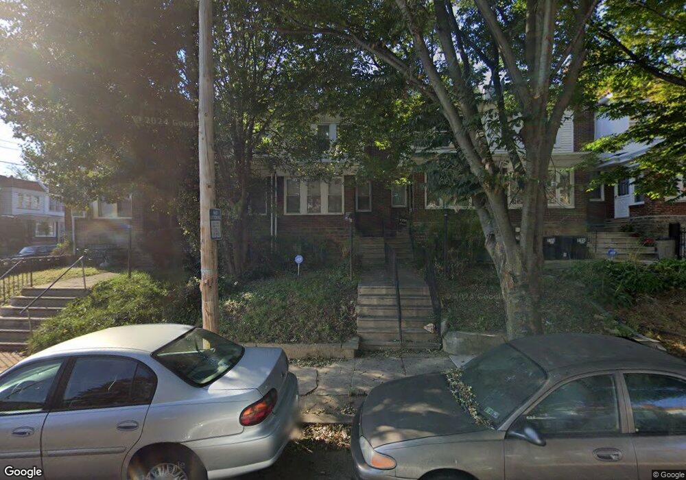
7154 N Uber St Philadelphia, PA 19138
West Oak Lane NeighborhoodEstimated Value: $177,000 - $247,000
3
Beds
1
Bath
1,194
Sq Ft
$173/Sq Ft
Est. Value
About This Home
This home is located at 7154 N Uber St, Philadelphia, PA 19138 and is currently estimated at $206,581, approximately $173 per square foot. 7154 N Uber St is a home located in Philadelphia County with nearby schools including William Rowen School, Gen. Louis Wagner Middle School, and Martin Luther King High School.
Ownership History
Date
Name
Owned For
Owner Type
Purchase Details
Closed on
Dec 30, 2021
Sold by
Fitzroy Bridges
Bought by
Abdi Hassan H
Current Estimated Value
Purchase Details
Closed on
Dec 7, 2021
Sold by
Abdi Hassan H
Bought by
Bridges Fitzroy
Purchase Details
Closed on
Aug 1, 2015
Sold by
Bridges Fitzroy and Bridges Christophine
Bought by
Huessein Abdi Hassan
Purchase Details
Closed on
Oct 3, 1977
Bought by
Fitzroy Bridges and Fitzroy Christophine
Create a Home Valuation Report for This Property
The Home Valuation Report is an in-depth analysis detailing your home's value as well as a comparison with similar homes in the area
Home Values in the Area
Average Home Value in this Area
Purchase History
| Date | Buyer | Sale Price | Title Company |
|---|---|---|---|
| Abdi Hassan H | $50,000 | None Listed On Document | |
| Bridges Fitzroy | -- | None Available | |
| Huessein Abdi Hassan | $47,000 | None Available | |
| Fitzroy Bridges | $17,300 | -- |
Source: Public Records
Tax History Compared to Growth
Tax History
| Year | Tax Paid | Tax Assessment Tax Assessment Total Assessment is a certain percentage of the fair market value that is determined by local assessors to be the total taxable value of land and additions on the property. | Land | Improvement |
|---|---|---|---|---|
| 2025 | $2,244 | $195,600 | $39,120 | $156,480 |
| 2024 | $2,244 | $195,600 | $39,120 | $156,480 |
| 2023 | $2,244 | $160,300 | $32,060 | $128,240 |
| 2022 | $1,684 | $160,300 | $32,060 | $128,240 |
| 2021 | $1,684 | $0 | $0 | $0 |
| 2020 | $1,684 | $0 | $0 | $0 |
| 2019 | $1,758 | $0 | $0 | $0 |
| 2018 | $1,526 | $0 | $0 | $0 |
| 2017 | $1,526 | $0 | $0 | $0 |
| 2016 | $1,526 | $0 | $0 | $0 |
| 2015 | -- | $0 | $0 | $0 |
| 2014 | -- | $109,000 | $12,035 | $96,965 |
| 2012 | -- | $14,880 | $2,772 | $12,108 |
Source: Public Records
Map
Nearby Homes
- 7159 N 20th St
- 7188 N Uber St
- 7092 Forrest Ave
- 7206 Forrest Ave
- 1911 72nd Ave
- 1996 73rd Ave
- 6943 N 19th St
- 7153 N 19th St
- 6908 Ogontz Ave
- 1975 73rd Ave
- 1979 73rd Ave
- 7001 Limekiln Pike
- 6905 Forrest Ave
- 1825 Dallas St
- 1934 69th Ave
- 7245 Ogontz Ave
- 6944 Cedar Park Ave
- 1847 Plymouth St
- 1810 72nd Ave
- 1980 Penfield St