Estimated Value: $297,000 - $335,000
3
Beds
2
Baths
1,568
Sq Ft
$206/Sq Ft
Est. Value
About This Home
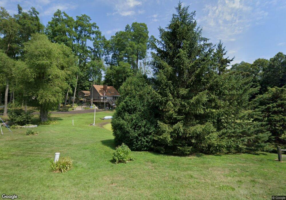
This home is located at 7155 Springport Rd, Parma, MI 49269 and is currently estimated at $323,230, approximately $206 per square foot. 7155 Springport Rd is a home located in Jackson County with nearby schools including Northwest Early Elementary School, Northwest Elementary School, and Northwest Middle School.
Ownership History
Date
Name
Owned For
Owner Type
Purchase Details
Closed on
Jun 3, 2014
Sold by
Demoulpied Lyle and Demoulpied Bonnie
Bought by
Demoulpied Lyle and Demoulpied Bonnie
Current Estimated Value
Purchase Details
Closed on
May 27, 1999
Sold by
Stohler Richard S and Stohler Michelle L
Bought by
Demoulpied Lyle and Demoulpied Bonnie
Purchase Details
Closed on
Sep 25, 1997
Sold by
Laserra Robert J and Laserra Kim M
Bought by
Stohler Richard S and Stohler Michelle
Purchase Details
Closed on
Nov 1, 1992
Bought by
Laserra
Create a Home Valuation Report for This Property
The Home Valuation Report is an in-depth analysis detailing your home's value as well as a comparison with similar homes in the area
Purchase History
| Date | Buyer | Sale Price | Title Company |
|---|---|---|---|
| Demoulpied Lyle | -- | None Available | |
| Demoulpied Lyle | $135,000 | -- | |
| Stohler Richard S | -- | -- | |
| Laserra | $70,000 | -- |
Source: Public Records
Tax History
| Year | Tax Paid | Tax Assessment Tax Assessment Total Assessment is a certain percentage of the fair market value that is determined by local assessors to be the total taxable value of land and additions on the property. | Land | Improvement |
|---|---|---|---|---|
| 2025 | $3,699 | $190,500 | $0 | $0 |
| 2024 | $18 | $160,600 | $0 | $0 |
| 2023 | $1,733 | $137,100 | $0 | $0 |
| 2022 | $3,355 | $126,700 | $0 | $0 |
| 2021 | $3,301 | $122,000 | $0 | $0 |
| 2020 | $3,273 | $116,900 | $0 | $0 |
| 2019 | $3,194 | $110,100 | $0 | $0 |
| 2018 | $2,601 | $88,700 | $0 | $0 |
| 2017 | $2,375 | $76,600 | $0 | $0 |
| 2016 | $2,351 | $78,055 | $78,055 | $0 |
| 2015 | $2,351 | $85,285 | $85,285 | $0 |
| 2014 | $2,351 | $83,219 | $0 | $0 |
| 2013 | -- | $83,219 | $83,219 | $0 |
Source: Public Records
Map
Nearby Homes
- 6631 Springport Rd
- 7953 Springport Rd
- 4350 Bailey Rd
- 8401 Clinton Rd
- 6750 County Farm Rd
- 0 Carlson Rd
- 0 Vl Wellman Rd
- 8625 Abbey Rd
- 2770 N Dearing Rd
- 3891 Wellman Rd
- 3990 Wellman Rd
- 0 Michigan 50
- 8534 Clough Rd
- 3767 Van Horn Rd
- 8900 County Farm Rd
- 4131 York Ln
- 2431 N Dearing Rd
- 8503 Dixon Rd
- 4048 Knightsbridge Ln
- 2001 N Harrington Rd
- 7170 Springport Rd
- 5998 N Sandstone Rd
- 5990 N Sandstone Rd
- 6100 N Sandstone Rd
- 6946 Springport Rd
- 6946 Springport Rd
- 7247 Springport Rd
- 7253 Springport Rd
- 6946 Springport Rd
- 5955 N Sandstone Rd
- 5995 N Sandstone Rd
- 6945 Springport Rd
- 6900 Springport Rd
- 7350 Springport Rd
- 6101 N Sandstone Rd
- 7351 Springport Rd
- 6300 N Sandstone Rd
- 6745 Springport Rd
- 6920 Springport Rd
- 6920 Springport Rd
Your Personal Tour Guide
Ask me questions while you tour the home.