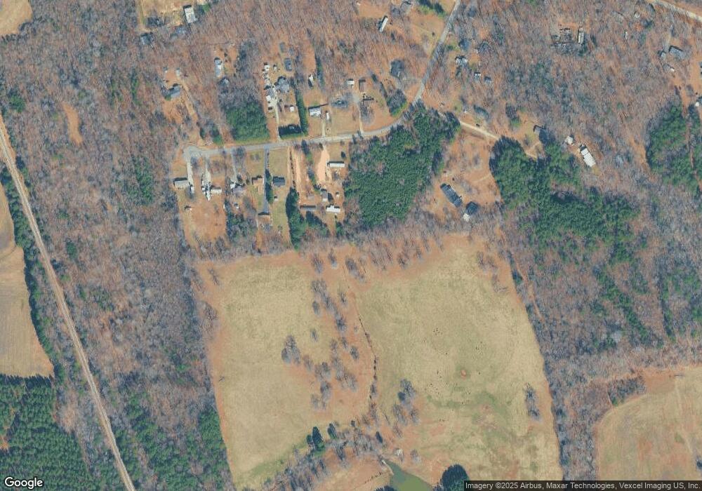
7156 Sherrills Ford Rd Sherrills Ford, NC 28673
Estimated Value: $402,000 - $718,206
--
Bed
--
Bath
--
Sq Ft
72.13
Acres
About This Home
This home is located at 7156 Sherrills Ford Rd, Sherrills Ford, NC 28673 and is currently estimated at $555,069. 7156 Sherrills Ford Rd is a home located in Catawba County with nearby schools including Bandys High School, Sherrills Ford Elementary School, and Mill Creek Middle School.
Ownership History
Date
Name
Owned For
Owner Type
Purchase Details
Closed on
Dec 4, 2013
Sold by
Nixon Perry T and Nixon Carol P
Bought by
Iv B Farms Llc
Current Estimated Value
Home Financials for this Owner
Home Financials are based on the most recent Mortgage that was taken out on this home.
Original Mortgage
$740,000
Outstanding Balance
$381,012
Interest Rate
4.19%
Mortgage Type
Seller Take Back
Estimated Equity
$174,057
Purchase Details
Closed on
Sep 11, 1990
Bought by
Nixon Perry T and Nixon Carol P
Purchase Details
Closed on
May 6, 1987
Purchase Details
Closed on
Oct 26, 1973
Create a Home Valuation Report for This Property
The Home Valuation Report is an in-depth analysis detailing your home's value as well as a comparison with similar homes in the area
Home Values in the Area
Average Home Value in this Area
Purchase History
| Date | Buyer | Sale Price | Title Company |
|---|---|---|---|
| Iv B Farms Llc | $740,000 | None Available | |
| Nixon Perry T | $142,500 | -- | |
| -- | $150,000 | -- | |
| -- | -- | -- |
Source: Public Records
Mortgage History
| Date | Status | Borrower | Loan Amount |
|---|---|---|---|
| Open | Iv B Farms Llc | $740,000 |
Source: Public Records
Tax History Compared to Growth
Tax History
| Year | Tax Paid | Tax Assessment Tax Assessment Total Assessment is a certain percentage of the fair market value that is determined by local assessors to be the total taxable value of land and additions on the property. | Land | Improvement |
|---|---|---|---|---|
| 2025 | $98 | $19,800 | $17,800 | $2,000 |
| 2024 | $98 | $19,800 | $17,800 | $2,000 |
| 2023 | $96 | $19,700 | $0 | $0 |
| 2022 | $139 | $19,700 | $0 | $0 |
| 2021 | $139 | $19,700 | $0 | $0 |
| 2020 | $139 | $19,700 | $0 | $0 |
| 2019 | $139 | $19,700 | $0 | $0 |
| 2018 | $125 | $18,200 | $0 | $0 |
| 2017 | $125 | $0 | $0 | $0 |
| 2016 | $125 | $0 | $0 | $0 |
| 2015 | $109 | $286,900 | $284,900 | $2,000 |
| 2014 | $109 | $302,100 | $300,100 | $2,000 |
Source: Public Records
Map
Nearby Homes
- 7187 Sherrills Ford Rd
- 7331 Sherrills Ford Rd
- 1865 Barksdale Rd
- 1869 Barksdale Rd
- 1432 Ardmore Dr
- 1440 Ardmore Dr
- 1448 Ardmore Dr
- 1444 Ardmore Dr
- 2347 Mount Pleasant Rd
- 1453 Ardmore Dr
- 1871 Lynmore Dr
- 0000 Hopewell Church Rd
- 1956 Lynmore Dr Unit 9
- 7645 Bainbridge Rd
- 1960 Jaya Dr Unit 17
- The Hinsdale Plan at Laurelbrook - Essence
- The Irving Plan at Laurelbrook - Essence
- The Kittridge Plan at Laurelbrook - Essence
- The Julep Plan at Laurelbrook - Essence
- 1060 Arundle Rd
- 1856 Rollins Dr
- 1866 Rollins Dr
- 7323 Kiser Ct
- 1848 Rollins Dr
- 1888 Rollins Dr
- 1888 Rollins Dr Unit 20
- 1898 Rollins Dr
- 1910 Rollins Dr
- 7160 Sherrills Ford Rd
- 7508 Sherrills Ford Rd
- 1920 Rollins Dr
- 1859 Rollins Dr
- 1847 Rollins Dr
- 1847 Rollins Dr Unit 9
- 7326 Kiser Ct
- 7356 Kiser Ct
- 1825 Rollins Dr
- 1825 Rollins Dr Unit 8
- 7370 Kiser Ct
- 1869 Rollins Dr
