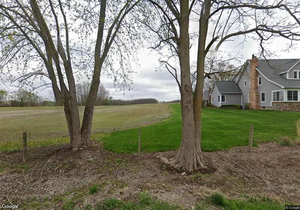
7156 W Rolston Rd Linden, MI 48451
Estimated Value: $414,607 - $568,000
--
Bed
--
Bath
2,377
Sq Ft
$207/Sq Ft
Est. Value
About This Home
This home is located at 7156 W Rolston Rd, Linden, MI 48451 and is currently estimated at $491,304, approximately $206 per square foot. 7156 W Rolston Rd is a home located in Genesee County with nearby schools including Central Elementary School and Linden High School.
Ownership History
Date
Name
Owned For
Owner Type
Purchase Details
Closed on
Oct 29, 2015
Sold by
Groat Laura R
Bought by
Groat Laura R
Current Estimated Value
Purchase Details
Closed on
Apr 4, 2014
Sold by
Chittick Julie Ann
Bought by
Groat Laura R
Home Financials for this Owner
Home Financials are based on the most recent Mortgage that was taken out on this home.
Original Mortgage
$160,000
Outstanding Balance
$47,270
Interest Rate
4.41%
Mortgage Type
New Conventional
Estimated Equity
$444,034
Create a Home Valuation Report for This Property
The Home Valuation Report is an in-depth analysis detailing your home's value as well as a comparison with similar homes in the area
Home Values in the Area
Average Home Value in this Area
Purchase History
| Date | Buyer | Sale Price | Title Company |
|---|---|---|---|
| Groat Laura R | -- | None Available | |
| Groat Laura R | $208,000 | None Available |
Source: Public Records
Mortgage History
| Date | Status | Borrower | Loan Amount |
|---|---|---|---|
| Open | Groat Laura R | $160,000 |
Source: Public Records
Tax History Compared to Growth
Tax History
| Year | Tax Paid | Tax Assessment Tax Assessment Total Assessment is a certain percentage of the fair market value that is determined by local assessors to be the total taxable value of land and additions on the property. | Land | Improvement |
|---|---|---|---|---|
| 2025 | $3,903 | $226,800 | $0 | $0 |
| 2024 | $1,705 | $211,900 | $0 | $0 |
| 2023 | $1,628 | $189,900 | $0 | $0 |
| 2022 | $3,574 | $151,500 | $0 | $0 |
| 2021 | $3,529 | $152,500 | $0 | $0 |
| 2020 | $1,444 | $146,900 | $0 | $0 |
| 2019 | $1,450 | $143,100 | $0 | $0 |
| 2018 | $3,278 | $124,300 | $0 | $0 |
| 2017 | $3,135 | $124,300 | $0 | $0 |
| 2016 | $2,613 | $102,400 | $0 | $0 |
| 2015 | $2,951 | $98,400 | $0 | $0 |
| 2014 | $1,057 | $96,400 | $0 | $0 |
| 2012 | -- | $98,800 | $66,200 | $32,600 |
Source: Public Records
Map
Nearby Homes
- Parcel E Hogan Rd
- 1590 W Rolston Rd
- 13150 Westwinds Dr
- 13180 Westwinds Dr
- 13204 Westwinds Dr
- 13168 Westwinds Dr
- 13186 Westwinds Dr
- 13138 Westwinds Dr
- 13144 Westwinds Dr
- 13102 Westwinds Dr
- 13096 Westwinds Dr
- 13192 Westwinds Dr
- 13217 Westwinds Dr
- 13174 Westwinds Dr
- 13126 Westwinds Dr
- 13158 Stony Brook Pass
- 13120 Stony Brook Pass
- 13112 Stony Brook Pass
- 13108 River Rock Pass Unit 99
- 13017 River Rock Pass
- 13360 Hogan Rd
- 13360 Hogan Rd
- 7234 W Rolston Rd
- 7143 W Rolston Rd
- 7245 W Rolston Rd
- 7310 W Rolston Rd
- 6575 W Rolston Rd
- 13292 Hogan Rd
- 13292 Hogan Rd
- 7440 W Rolston Rd
- 6563 W Rolston Rd
- 6551 W Rolston Rd
- 6581 W Rolston Rd
- 6527 W Rolston Rd
- 7339 W Rolston Rd
- 6521 W Rolston Rd
- 7067 W Rolston Rd
- 7391 W Rolston Rd
- 6507 W Rolston Rd
- 13506 Hogan Rd