Estimated Value: $251,000
3
Beds
1
Bath
1,158
Sq Ft
$217/Sq Ft
Est. Value
About This Home
This home is located at 7159 N State Road 135, Salem, IN 47167 and is currently estimated at $251,000, approximately $216 per square foot. 7159 N State Road 135 is a home located in Washington County with nearby schools including Bradie M. Shrum Lower Elementary School, Salem Middle School, and Salem High School.
Ownership History
Date
Name
Owned For
Owner Type
Purchase Details
Closed on
Feb 26, 2018
Sold by
Holstine Ronald L and Holstine Shirley R
Bought by
Holstine Ronald L and Holstine Shirley R
Current Estimated Value
Purchase Details
Closed on
May 5, 2014
Sold by
Holstine Ronald L and Holstine Shirley R
Bought by
Holstine Ronald L and Holstine Shirley R
Purchase Details
Closed on
Nov 19, 2013
Sold by
Combs Claude C
Bought by
Holstine Ronald L and Holstine Shirley R
Create a Home Valuation Report for This Property
The Home Valuation Report is an in-depth analysis detailing your home's value as well as a comparison with similar homes in the area
Home Values in the Area
Average Home Value in this Area
Purchase History
| Date | Buyer | Sale Price | Title Company |
|---|---|---|---|
| Holstine Ronald L | -- | None Available | |
| Holstine Ronald L | -- | None Available | |
| Holstine Ronald L | $350,000 | -- |
Source: Public Records
Tax History Compared to Growth
Tax History
| Year | Tax Paid | Tax Assessment Tax Assessment Total Assessment is a certain percentage of the fair market value that is determined by local assessors to be the total taxable value of land and additions on the property. | Land | Improvement |
|---|---|---|---|---|
| 2024 | $3,816 | $196,300 | $184,100 | $12,200 |
| 2023 | $3,347 | $167,100 | $153,400 | $13,700 |
| 2022 | $2,701 | $135,100 | $121,200 | $13,900 |
| 2021 | $2,328 | $114,800 | $104,200 | $10,600 |
| 2020 | $2,581 | $127,100 | $103,300 | $23,800 |
| 2019 | $3,005 | $149,800 | $126,000 | $23,800 |
| 2018 | $3,084 | $153,600 | $130,000 | $23,600 |
| 2017 | $3,390 | $173,000 | $149,500 | $23,500 |
| 2016 | $3,528 | $183,900 | $158,300 | $25,600 |
| 2014 | $3,174 | $181,500 | $147,400 | $34,100 |
| 2013 | $4,220 | $232,800 | $139,900 | $92,900 |
Source: Public Records
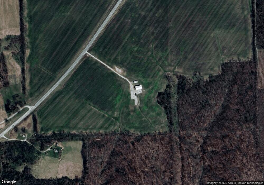
Map
Nearby Homes
- 128 W Walnut Ridge Rd
- 0 W Lake John Hay Rd Unit 202445772
- 2032 W Goat Hollow Rd
- 3751 N Shell Ln
- 10692 N Haleysburg Rd
- off W S Rush Creek Rd
- W of Rush Creek Rd Unit LotWP001
- 6275 E Mount Eden Rd
- 540 Colony Dr
- 2535 E Nathans Run
- 2476 N Old 56
- 905 Locust St
- N of N McKinley Rd Unit LotWP001
- 2613 N Hitchcock Rd
- 501 E Homer St
- 5186 E Fire Tower Rd
- 808 Locust St
- 0 N Mckinley Rd
- N of N Mckinley Rd
- 800 Hayes Ave
- 0 N Old Forestry Rd
- 6787 State Road 135
- 6787 Indiana 135
- 7042 N Kossuth Rd
- 7021 N Kossuth Rd
- 7020 N Kossuth Rd
- 7022 N Kossuth Rd
- 7010 N Kossuth Rd
- 6979 N Kossuth Rd
- 6918 N Kossuth Rd
- 60 W Cornett Ln
- 244 W Walnut Ridge Rd
- 0 W S of Hwy 135
- 324 W Walnut Ridge Rd
- 412 W Walnut Ridge Rd
- 6451 N State Road 135
- 6486 N State Road 135
- 7660 N State Road 135
- 6253 N State Road 135
- 7724 Indiana 135