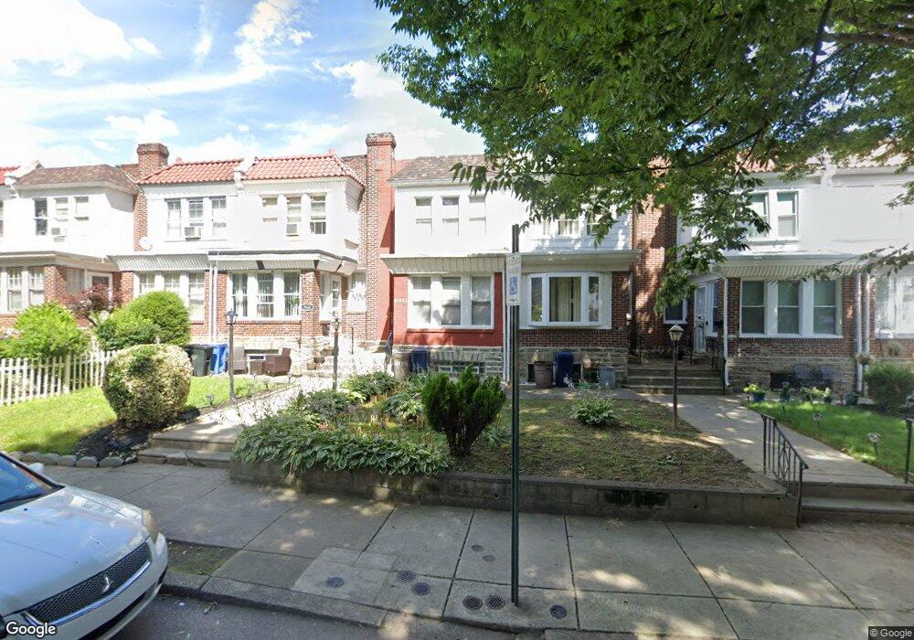
7159 N Uber St Philadelphia, PA 19138
West Oak Lane NeighborhoodEstimated Value: $170,000 - $247,000
3
Beds
1
Bath
1,194
Sq Ft
$175/Sq Ft
Est. Value
About This Home
This home is located at 7159 N Uber St, Philadelphia, PA 19138 and is currently estimated at $208,628, approximately $174 per square foot. 7159 N Uber St is a home located in Philadelphia County with nearby schools including William Rowen School, Gen. Louis Wagner Middle School, and Martin Luther King High School.
Ownership History
Date
Name
Owned For
Owner Type
Purchase Details
Closed on
Apr 29, 2005
Sold by
Fields Robert
Bought by
Prentice Mitchell
Current Estimated Value
Home Financials for this Owner
Home Financials are based on the most recent Mortgage that was taken out on this home.
Original Mortgage
$55,600
Outstanding Balance
$28,820
Interest Rate
5.95%
Mortgage Type
Stand Alone First
Estimated Equity
$179,808
Purchase Details
Closed on
Mar 22, 2002
Sold by
Fields Robert and Estate Of Gladys Mcdaniels
Bought by
Fields Robert
Create a Home Valuation Report for This Property
The Home Valuation Report is an in-depth analysis detailing your home's value as well as a comparison with similar homes in the area
Home Values in the Area
Average Home Value in this Area
Purchase History
| Date | Buyer | Sale Price | Title Company |
|---|---|---|---|
| Prentice Mitchell | $69,500 | First American Title Ins Co | |
| Fields Robert | -- | -- |
Source: Public Records
Mortgage History
| Date | Status | Borrower | Loan Amount |
|---|---|---|---|
| Open | Prentice Mitchell | $55,600 |
Source: Public Records
Tax History
| Year | Tax Paid | Tax Assessment Tax Assessment Total Assessment is a certain percentage of the fair market value that is determined by local assessors to be the total taxable value of land and additions on the property. | Land | Improvement |
|---|---|---|---|---|
| 2026 | $2,251 | $196,500 | $39,300 | $157,200 |
| 2025 | $2,251 | $196,500 | $39,300 | $157,200 |
| 2024 | $2,251 | $196,500 | $39,300 | $157,200 |
| 2023 | $2,251 | $160,800 | $32,160 | $128,640 |
| 2022 | $1,060 | $115,800 | $32,160 | $83,640 |
| 2021 | $1,690 | $0 | $0 | $0 |
| 2020 | $1,690 | $0 | $0 | $0 |
| 2019 | $1,764 | $0 | $0 | $0 |
| 2017 | $1,533 | $0 | $0 | $0 |
Source: Public Records
Map
Nearby Homes
- 7162 N Uber St
- 7167 Georgian Rd
- 7176 N 19th St
- 7116 Ogontz Ave
- 1906 Plymouth St
- 1934 73rd Ave
- 1919 Elston St
- 1911 Elston St
- 1979 73rd Ave
- 7092 Forrest Ave
- 1810 72nd Ave
- 1969 Ashley St
- 1971 Ashley St
- 7311 N 21st St
- 1980 Penfield St
- 7206 Forrest Ave
- 1837 73rd Ave
- 1815 Elston St
- 6925 Forrest Ave
- 6908 Ogontz Ave
- 7157 N Uber St
- 7161 N Uber St
- 7155 N Uber St
- 7163 N Uber St
- 7153 N Uber St
- 7167 N Uber St
- 7151 N Uber St
- 7169 N Uber St
- 7171 N Uber St
- 7173 N Uber St
- 7156 Andrews Ave
- 7154 Andrews Ave
- 7152 Andrews Ave
- 7150 Andrews Ave
- 7162 Andrews Ave
- 7158 Andrews Ave
- 7175 N Uber St
- 7160 Andrews Ave
- 7166 Andrews Ave
- 7177 N Uber St
Your Personal Tour Guide
Ask me questions while you tour the home.