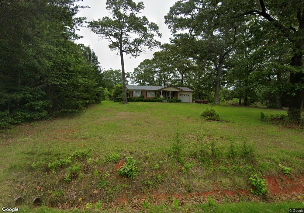
716 Arrowood Branch Rd Chesnee, SC 29323
Estimated Value: $126,000 - $139,909
3
Beds
2
Baths
1,348
Sq Ft
$99/Sq Ft
Est. Value
About This Home
This home is located at 716 Arrowood Branch Rd, Chesnee, SC 29323 and is currently estimated at $133,227, approximately $98 per square foot. 716 Arrowood Branch Rd is a home located in Spartanburg County with nearby schools including Cooley Springs-Fingerville Elementary School, Chesnee Middle School, and Chesnee High School.
Ownership History
Date
Name
Owned For
Owner Type
Purchase Details
Closed on
Aug 4, 2025
Sold by
Bishop Angie
Bought by
Cromer Zachary
Current Estimated Value
Home Financials for this Owner
Home Financials are based on the most recent Mortgage that was taken out on this home.
Original Mortgage
$156,978
Outstanding Balance
$156,774
Interest Rate
6.67%
Mortgage Type
FHA
Estimated Equity
-$23,547
Create a Home Valuation Report for This Property
The Home Valuation Report is an in-depth analysis detailing your home's value as well as a comparison with similar homes in the area
Home Values in the Area
Average Home Value in this Area
Purchase History
| Date | Buyer | Sale Price | Title Company |
|---|---|---|---|
| Cromer Zachary | $125,000 | None Listed On Document |
Source: Public Records
Mortgage History
| Date | Status | Borrower | Loan Amount |
|---|---|---|---|
| Open | Cromer Zachary | $156,978 |
Source: Public Records
Tax History Compared to Growth
Tax History
| Year | Tax Paid | Tax Assessment Tax Assessment Total Assessment is a certain percentage of the fair market value that is determined by local assessors to be the total taxable value of land and additions on the property. | Land | Improvement |
|---|---|---|---|---|
| 2025 | $687 | $4,005 | $386 | $3,619 |
| 2024 | $687 | $4,005 | $386 | $3,619 |
| 2023 | $687 | $4,005 | $386 | $3,619 |
| 2022 | $620 | $3,482 | $310 | $3,172 |
| 2021 | $620 | $3,482 | $310 | $3,172 |
| 2020 | $606 | $3,482 | $310 | $3,172 |
| 2019 | $606 | $3,482 | $310 | $3,172 |
| 2018 | $592 | $3,482 | $310 | $3,172 |
| 2017 | $527 | $3,017 | $299 | $2,718 |
| 2016 | $527 | $3,017 | $299 | $2,718 |
| 2015 | $522 | $3,017 | $299 | $2,718 |
| 2014 | $517 | $3,017 | $299 | $2,718 |
Source: Public Records
Map
Nearby Homes
- 73 Pond View Ln Unit 66
- 73 Pond View Ln
- 333 Mcswain Rd
- 291 Robbins Rd
- 202 Arrowood Branch Rd
- 0 Big Island Rd Unit 23524113
- 0 Cantrell Dr
- 4086 Big Island Rd
- 150 Rabbit Moffitt Rd
- 107 Brooklyn Church Rd
- 570 Lambs Grill Rd
- 58 Lambs Grill Rd
- 537 State Road S-42-1879
- 00B Cooley Springs School Rd
- 00 Petite Ct
- 545 State Road S-42-1879
- 00 Mcswain Rd
- 553 State Road S-42-1879
- 557 State Road S-42-1879
- 561 State Road S-42-1879
- 725 Arrowood Branch Rd
- 713 Arrowood Branch Rd
- 700 Arrowood Branch Rd
- 641/595/57 Arrowood Branch Rd
- 829 Arrowood Branch Rd
- 8629 Parris Bridge Rd
- 8655 Parris Bridge Rd
- 8621 Parris Bridge Rd
- 8727 Parris Bridge Rd
- 8731 Parris Bridge Rd
- 832 Arrowood Branch Rd
- 8721 Parris Bridge Rd
- 8715 Parris Bridge Rd
- 8741 Parris Bridge Rd
- 838 Arrowood Branch Rd
- 841 Arrowood Branch Rd
- 641/595/575 Arrowood Branch Rd
- 641 Arrowood Branch Rd
- 8755 Parris Bridge Rd
- 842 Arrowood Branch Rd