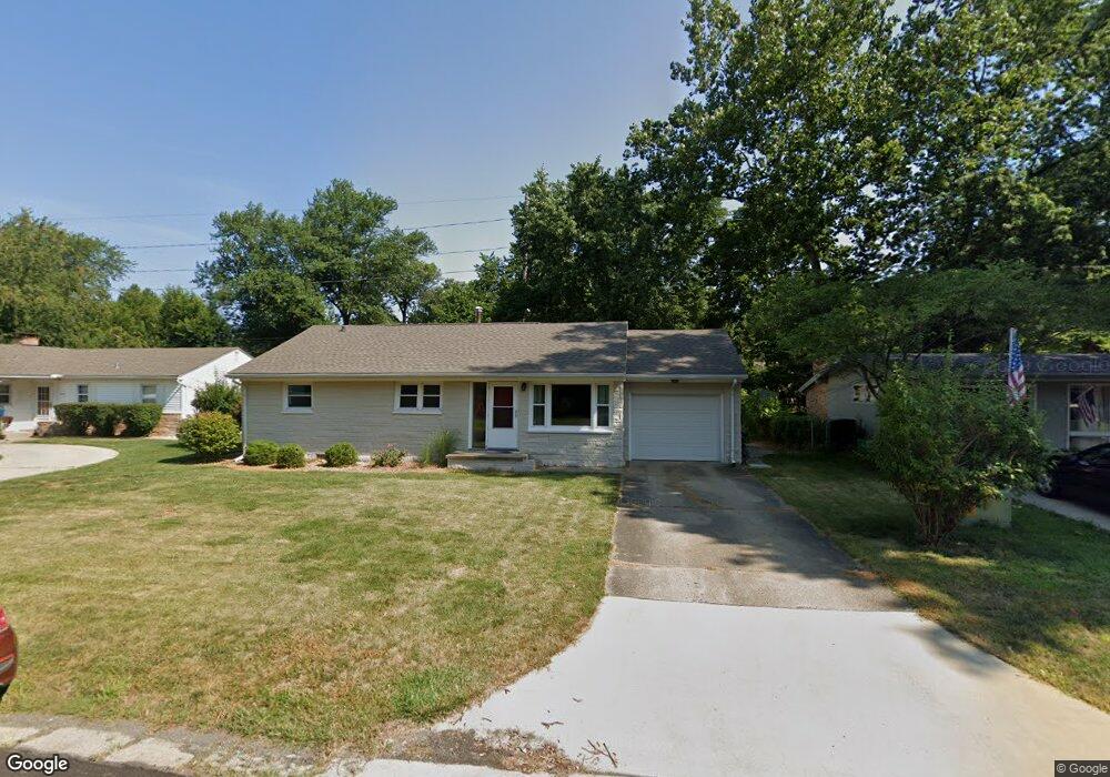
716 Breen Dr Champaign, IL 61820
Bolten Field NeighborhoodEstimated Value: $192,000 - $223,000
Studio
2
Baths
1,468
Sq Ft
$139/Sq Ft
Est. Value
About This Home
This home is located at 716 Breen Dr, Champaign, IL 61820 and is currently estimated at $203,640, approximately $138 per square foot. 716 Breen Dr is a home located in Champaign County with nearby schools including Central High School, Montessori Habitat School, and Devonshire KinderCare.
Ownership History
Date
Name
Owned For
Owner Type
Purchase Details
Closed on
Aug 30, 2012
Sold by
Daniels Jeffrey E
Bought by
Mira Vista Properties Llc
Current Estimated Value
Purchase Details
Closed on
Jul 28, 2008
Sold by
Chesnut Mike
Bought by
Daniels Jeffrey E
Home Financials for this Owner
Home Financials are based on the most recent Mortgage that was taken out on this home.
Original Mortgage
$85,000
Interest Rate
7.75%
Mortgage Type
Purchase Money Mortgage
Purchase Details
Closed on
Jul 24, 2003
Sold by
Pritchett Elaine M and Fiore Barbara J
Bought by
Chesnut Mike
Home Financials for this Owner
Home Financials are based on the most recent Mortgage that was taken out on this home.
Original Mortgage
$123,497
Interest Rate
5.3%
Mortgage Type
Purchase Money Mortgage
Create a Home Valuation Report for This Property
The Home Valuation Report is an in-depth analysis detailing your home's value as well as a comparison with similar homes in the area
Home Values in the Area
Average Home Value in this Area
Purchase History
| Date | Buyer | Sale Price | Title Company |
|---|---|---|---|
| Mira Vista Properties Llc | $50,000 | None Available | |
| Daniels Jeffrey E | $124,000 | Allied Title Services | |
| Chesnut Mike | $120,000 | Allied Title Services |
Source: Public Records
Mortgage History
| Date | Status | Borrower | Loan Amount |
|---|---|---|---|
| Previous Owner | Daniels Jeffrey E | $85,000 | |
| Previous Owner | Chesnut Mike | $123,497 |
Source: Public Records
Tax History
| Year | Tax Paid | Tax Assessment Tax Assessment Total Assessment is a certain percentage of the fair market value that is determined by local assessors to be the total taxable value of land and additions on the property. | Land | Improvement |
|---|---|---|---|---|
| 2024 | $2,860 | $41,410 | $19,030 | $22,380 |
| 2023 | $2,860 | $37,710 | $17,330 | $20,380 |
| 2022 | $2,647 | $34,790 | $15,990 | $18,800 |
| 2021 | $2,573 | $34,110 | $15,680 | $18,430 |
| 2020 | $2,577 | $34,110 | $15,680 | $18,430 |
| 2019 | $2,483 | $33,410 | $15,360 | $18,050 |
| 2018 | $2,420 | $32,890 | $15,120 | $17,770 |
| 2017 | $2,316 | $31,630 | $14,540 | $17,090 |
| 2016 | $2,066 | $30,980 | $14,240 | $16,740 |
| 2015 | $2,073 | $30,430 | $13,990 | $16,440 |
| 2014 | $2,055 | $30,430 | $13,990 | $16,440 |
| 2013 | $2,037 | $30,430 | $13,990 | $16,440 |
Source: Public Records
Map
Nearby Homes
- 20 Ashley Ln
- 2005 S Prospect Ave
- 904 W Kirby Ave
- 7 McDonald Ct
- 812 Dodds Dr
- 1202 Foothill Dr
- 1205 Broadmoor Dr
- 22 Greencroft Dr
- 21 Greencroft Dr
- 1901 Melrose Dr Unit B
- 7 Greencroft Dr
- 1310 Broadmoor Dr
- 608 Haines Blvd
- 807 Haines Blvd
- 1506 Sandpiper Ln
- 414 W Ells Ave
- 1405 Old Farm Rd
- 1301 Belmeade Dr
- 1003 W William St
- 2410 Stillwater Dr