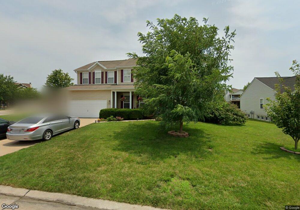
716 Brook Manor Ct Lake Saint Louis, MO 63367
Estimated Value: $546,000 - $669,000
4
Beds
4
Baths
3,548
Sq Ft
$167/Sq Ft
Est. Value
About This Home
This home is located at 716 Brook Manor Ct, Lake Saint Louis, MO 63367 and is currently estimated at $594,094, approximately $167 per square foot. 716 Brook Manor Ct is a home located in St. Charles County with nearby schools including Prairie View Elementary School, Frontier Middle School, and Liberty High School.
Ownership History
Date
Name
Owned For
Owner Type
Purchase Details
Closed on
Apr 26, 2004
Sold by
Rolwes Co Inc
Bought by
Huettenmeyer Jeffrey A and Huettenmeyer Donna M
Current Estimated Value
Home Financials for this Owner
Home Financials are based on the most recent Mortgage that was taken out on this home.
Original Mortgage
$237,110
Outstanding Balance
$110,232
Interest Rate
5.38%
Mortgage Type
Purchase Money Mortgage
Estimated Equity
$483,862
Create a Home Valuation Report for This Property
The Home Valuation Report is an in-depth analysis detailing your home's value as well as a comparison with similar homes in the area
Home Values in the Area
Average Home Value in this Area
Purchase History
| Date | Buyer | Sale Price | Title Company |
|---|---|---|---|
| Huettenmeyer Jeffrey A | $247,780 | -- |
Source: Public Records
Mortgage History
| Date | Status | Borrower | Loan Amount |
|---|---|---|---|
| Open | Huettenmeyer Jeffrey A | $237,110 |
Source: Public Records
Tax History Compared to Growth
Tax History
| Year | Tax Paid | Tax Assessment Tax Assessment Total Assessment is a certain percentage of the fair market value that is determined by local assessors to be the total taxable value of land and additions on the property. | Land | Improvement |
|---|---|---|---|---|
| 2025 | $5,714 | $102,275 | -- | -- |
| 2023 | $5,714 | $90,135 | $0 | $0 |
| 2022 | $4,531 | $66,702 | $0 | $0 |
| 2021 | $4,536 | $66,702 | $0 | $0 |
| 2020 | $4,170 | $58,826 | $0 | $0 |
| 2019 | $3,870 | $58,826 | $0 | $0 |
| 2018 | $3,887 | $56,294 | $0 | $0 |
| 2017 | $3,886 | $56,294 | $0 | $0 |
| 2016 | $3,604 | $50,027 | $0 | $0 |
| 2015 | $3,556 | $50,027 | $0 | $0 |
| 2014 | $3,010 | $45,428 | $0 | $0 |
Source: Public Records
Map
Nearby Homes
- LOT #1B Wies Industrial Dr
- LOT #1C Wies Industrial Dr
- 415 Filipp Ln
- 339 Wyndemere Dr
- 235 Greengate Dr
- 396 Haycastle Dr
- 103 Eckstein Ln
- Orf Road Orf Rd
- 113 Wyndcrest Ct
- 422 Parkgate Dr
- 427 Parkgate Dr
- 280 Osprey Ct
- 126 Far Meadow Dr
- 2 Hickory at Hawk Ridge Estate
- 2 Nottingham at Hawk Ridge
- 286 Osprey Ct
- 2 Pin Oak at Hawk Ridge Estate
- 807 Victorygate Ct
- 320 Briarchase Cir
- 288 Osprey Ct
- 710 Brook Manor Ct
- 718 Brook Manor Ct
- 607 Glen Brook Ct
- 609 Glen Brook Ct
- 708 Brook Manor Ct
- 715 Brook Manor Ct
- 717 Brook Manor Ct
- 720 Brook Manor Ct
- 719 Brook Manor Ct
- 605 Glen Brook Ct
- 611 Glen Brook Ct
- 711 Brook Manor Ct
- 306 Wies Industrial Dr
- 721 Brook Manor Ct
- 706 Brook Manor Ct
- 709 Brook Manor Ct
- 603 Glen Brook Ct
- 613 Glen Brook Ct
- 8077 Glen Arbor Dr
- 8075 Glen Arbor Dr