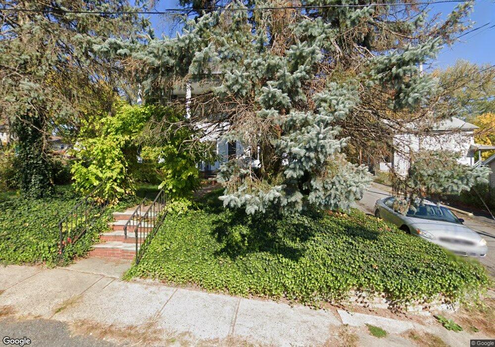
716 Landis St Unit 18 Scranton, PA 18504
Hyde Park NeighborhoodEstimated Value: $169,183 - $286,000
--
Bed
--
Bath
--
Sq Ft
4,792
Sq Ft Lot
About This Home
This home is located at 716 Landis St Unit 18, Scranton, PA 18504 and is currently estimated at $215,546. 716 Landis St Unit 18 is a home located in Lackawanna County with nearby schools including Longan Elementary School, Adams Elementary School, and Frances Willard School.
Ownership History
Date
Name
Owned For
Owner Type
Purchase Details
Closed on
Dec 6, 2019
Sold by
Talarico Joseph P
Bought by
Merritt Gregory L and Merritt Christina S
Current Estimated Value
Home Financials for this Owner
Home Financials are based on the most recent Mortgage that was taken out on this home.
Original Mortgage
$82,500
Outstanding Balance
$72,878
Interest Rate
3.7%
Mortgage Type
New Conventional
Estimated Equity
$142,668
Create a Home Valuation Report for This Property
The Home Valuation Report is an in-depth analysis detailing your home's value as well as a comparison with similar homes in the area
Home Values in the Area
Average Home Value in this Area
Purchase History
| Date | Buyer | Sale Price | Title Company |
|---|---|---|---|
| Merritt Gregory L | $110,000 | None Available |
Source: Public Records
Mortgage History
| Date | Status | Borrower | Loan Amount |
|---|---|---|---|
| Open | Merritt Gregory L | $82,500 |
Source: Public Records
Tax History Compared to Growth
Tax History
| Year | Tax Paid | Tax Assessment Tax Assessment Total Assessment is a certain percentage of the fair market value that is determined by local assessors to be the total taxable value of land and additions on the property. | Land | Improvement |
|---|---|---|---|---|
| 2025 | $2,812 | $8,600 | $1,600 | $7,000 |
| 2024 | $2,573 | $8,600 | $1,600 | $7,000 |
| 2023 | $2,573 | $8,600 | $1,600 | $7,000 |
| 2022 | $2,517 | $8,600 | $1,600 | $7,000 |
| 2021 | $2,517 | $8,600 | $1,600 | $7,000 |
| 2020 | $2,470 | $8,600 | $1,600 | $7,000 |
| 2019 | $2,325 | $8,600 | $1,600 | $7,000 |
| 2018 | $2,325 | $8,600 | $1,600 | $7,000 |
| 2017 | $2,284 | $8,600 | $1,600 | $7,000 |
| 2016 | $0 | $8,600 | $1,600 | $7,000 |
| 2015 | $1,722 | $8,600 | $1,600 | $7,000 |
| 2014 | -- | $8,600 | $1,600 | $7,000 |
Source: Public Records
Map
Nearby Homes
- 610 Landis St
- 625 Landis St
- 1203 Acker Ave
- 1009 1011 Acker Ave Unit L 109
- 1250 S 1252 6th
- 924 S Main Ave
- 730 W Locust St
- 1115 Watson St
- 901 Eynon St
- 705 Hampton St
- 1143 Reynolds Ave
- 1234 Bryn Mawr St Unit 11
- 727 Fellows St
- 1227 Rundle St
- 607 3rd Ave
- 1301 Sloan St
- LOT#16 Reynolds Ave
- Lot# 7 Reynolds Ave
- 1021 Fellows St
- 816 12th Ave
- 716-718 Landis St Unit First Floor Right
- 716 Landis St
- 1024 Corbett Ave
- 714 Landis St
- 1025 Corbett Ave
- 1020-1022 Corbett Ave
- 1020 Corbett Ave Unit 1022
- 726 Landis St Unit 728
- 715 Landis St
- 715 Landis St Unit 717
- 708 Landis St
- 717 Landis St
- 1025 Snyder Ave
- 1016 Corbett Ave
- 1101 Snyder Ave
- 730 Landis St
- 1103 1103 1 2 Snyder Ave
- 1103 Snyder Ave Unit 1103 1/2
- 1103 Snyder Ave Unit Snyder-2014
- 1019 Snyder Ave Unit 1021