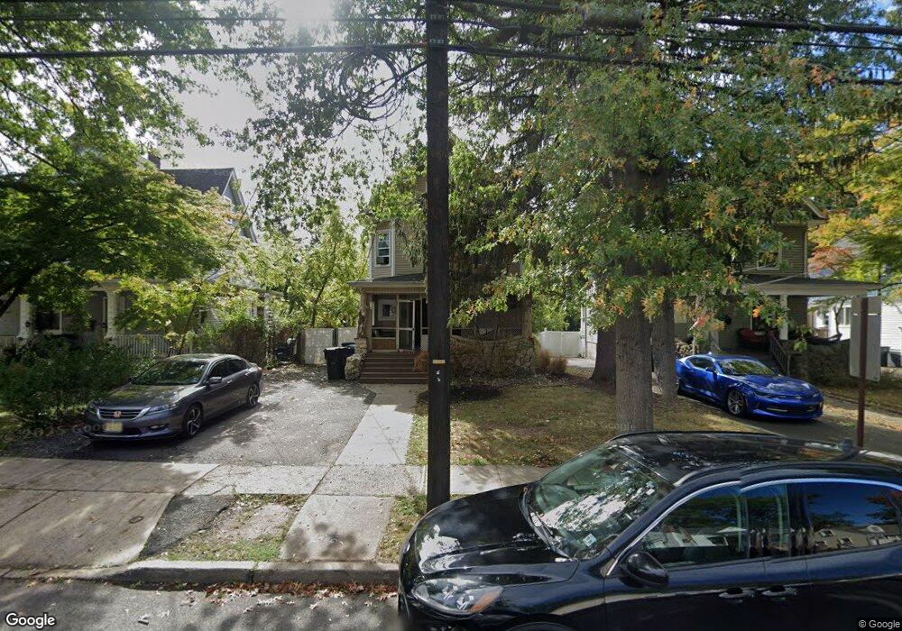
716 Leland Ave Unit 18 Plainfield, NJ 07062
Estimated Value: $477,336 - $563,000
--
Bed
--
Bath
1,652
Sq Ft
$313/Sq Ft
Est. Value
About This Home
This home is located at 716 Leland Ave Unit 18, Plainfield, NJ 07062 and is currently estimated at $517,084, approximately $313 per square foot. 716 Leland Ave Unit 18 is a home located in Union County with nearby schools including Frederic W. Cook School, Emerson Community School, and Maxson Middle School.
Ownership History
Date
Name
Owned For
Owner Type
Purchase Details
Closed on
Feb 8, 1999
Sold by
Fry Thomas F and Fry Edward V
Bought by
Fry Edward V
Current Estimated Value
Home Financials for this Owner
Home Financials are based on the most recent Mortgage that was taken out on this home.
Original Mortgage
$107,100
Outstanding Balance
$33,344
Interest Rate
10.37%
Estimated Equity
$483,740
Purchase Details
Closed on
Feb 1, 1996
Sold by
Acquaye Theophilus and Acquaye Muriel
Bought by
Fry Thomas F and Fry Edward V
Create a Home Valuation Report for This Property
The Home Valuation Report is an in-depth analysis detailing your home's value as well as a comparison with similar homes in the area
Home Values in the Area
Average Home Value in this Area
Purchase History
| Date | Buyer | Sale Price | Title Company |
|---|---|---|---|
| Fry Edward V | -- | -- | |
| Fry Thomas F | $100,000 | -- |
Source: Public Records
Mortgage History
| Date | Status | Borrower | Loan Amount |
|---|---|---|---|
| Open | Fry Edward V | $107,100 |
Source: Public Records
Tax History Compared to Growth
Tax History
| Year | Tax Paid | Tax Assessment Tax Assessment Total Assessment is a certain percentage of the fair market value that is determined by local assessors to be the total taxable value of land and additions on the property. | Land | Improvement |
|---|---|---|---|---|
| 2025 | $9,605 | $110,000 | $44,600 | $65,400 |
| 2024 | $9,511 | $110,000 | $44,600 | $65,400 |
| 2023 | $9,511 | $110,000 | $44,600 | $65,400 |
| 2022 | $9,305 | $110,000 | $44,600 | $65,400 |
| 2021 | $9,224 | $110,000 | $44,600 | $65,400 |
| 2020 | $9,197 | $110,000 | $44,600 | $65,400 |
| 2019 | $9,197 | $110,000 | $44,600 | $65,400 |
| 2018 | $9,005 | $110,000 | $44,600 | $65,400 |
| 2017 | $8,785 | $110,000 | $44,600 | $65,400 |
| 2016 | $8,605 | $110,000 | $44,600 | $65,400 |
| 2015 | $9,756 | $128,500 | $44,600 | $83,900 |
| 2014 | $9,491 | $128,500 | $44,600 | $83,900 |
Source: Public Records
Map
Nearby Homes
- 842 Berkeley Ave
- 810 Leland Ave Unit 14
- 1138-40 Gresham Rd
- 848 Adam Cir
- 1158 Woodmere Place
- 633 Woodland Ave Unit 37
- 714 Dixie Ln
- 1107-11 North Ave
- 1107 North Ave Unit 11
- 343 Netherwood Ave Unit 45
- 1255 Columbia Ave Unit 57
- 771 Ravine Rd
- 767 Ravine Rd Unit 73
- 1365 Columbia Ave Unit 69
- 1364 George St
- 481 Terrill Rd
- 812 E 6th St
- 724 Central St
- 15 La Grande Ave
- 1505 Charlotte Rd
- 712 Leland Ave Unit 14
- 720 Leland Ave Unit 22
- 708 Leland Ave Unit 10
- 724 Leland Ave Unit 26
- 704 Leland Ave Unit 6
- 728 Leland Ave Unit 32
- 723 Leland Ave Unit 27
- 725 Leland Ave
- 717 Leland Ave
- 837 Berkeley Ave Unit 45
- 711 Leland Ave Unit 15
- 702 Leland Ave
- 1140 Park Place Unit 46
- 829-35 Berkeley Ave
- 707-9 Leland Ave
- 707 Leland Ave Unit 9
- 847 Berkeley Ave
- 849 Berkeley Ave Unit 53
- 1204 Lansdowne Terrace
- 1136 Park Place Unit 38