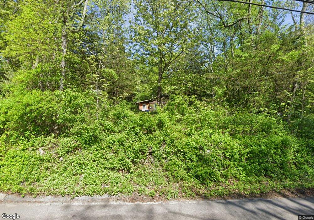
716 Long Cove Rd Gales Ferry, CT 06335
Estimated Value: $358,000 - $393,000
2
Beds
2
Baths
1,056
Sq Ft
$355/Sq Ft
Est. Value
About This Home
This home is located at 716 Long Cove Rd, Gales Ferry, CT 06335 and is currently estimated at $374,722, approximately $354 per square foot. 716 Long Cove Rd is a home located in New London County with nearby schools including Ledyard Middle School and Ledyard High School.
Ownership History
Date
Name
Owned For
Owner Type
Purchase Details
Closed on
Apr 23, 2007
Sold by
Ciese Laura J and Ciese Terry L
Bought by
Cartus Financial Corp
Current Estimated Value
Purchase Details
Closed on
May 27, 2005
Sold by
Tavares Gregg
Bought by
Giese Terry and Giese Laura
Home Financials for this Owner
Home Financials are based on the most recent Mortgage that was taken out on this home.
Original Mortgage
$257,200
Interest Rate
5.94%
Mortgage Type
VA
Purchase Details
Closed on
Sep 1, 2000
Sold by
Hurley Wilfred and Hurley Carol
Bought by
Tavares Gregg
Home Financials for this Owner
Home Financials are based on the most recent Mortgage that was taken out on this home.
Original Mortgage
$119,400
Interest Rate
8.16%
Create a Home Valuation Report for This Property
The Home Valuation Report is an in-depth analysis detailing your home's value as well as a comparison with similar homes in the area
Home Values in the Area
Average Home Value in this Area
Purchase History
| Date | Buyer | Sale Price | Title Company |
|---|---|---|---|
| Cartus Financial Corp | $270,000 | -- | |
| Giese Terry | $249,000 | -- | |
| Tavares Gregg | $149,250 | -- |
Source: Public Records
Mortgage History
| Date | Status | Borrower | Loan Amount |
|---|---|---|---|
| Previous Owner | Tavares Gregg | $257,200 | |
| Previous Owner | Tavares Gregg | $20,000 | |
| Previous Owner | Tavares Gregg | $126,300 | |
| Previous Owner | Tavares Gregg | $119,400 |
Source: Public Records
Tax History Compared to Growth
Tax History
| Year | Tax Paid | Tax Assessment Tax Assessment Total Assessment is a certain percentage of the fair market value that is determined by local assessors to be the total taxable value of land and additions on the property. | Land | Improvement |
|---|---|---|---|---|
| 2025 | $5,743 | $154,630 | $56,560 | $98,070 |
| 2024 | $5,395 | $153,230 | $56,560 | $96,670 |
| 2023 | $5,296 | $153,230 | $56,560 | $96,670 |
| 2022 | $5,182 | $153,230 | $56,560 | $96,670 |
| 2021 | $5,149 | $153,230 | $56,560 | $96,670 |
| 2020 | $4,737 | $135,450 | $53,690 | $81,760 |
| 2019 | $4,749 | $135,450 | $53,690 | $81,760 |
| 2018 | $4,645 | $135,450 | $53,690 | $81,760 |
| 2017 | $4,408 | $135,450 | $53,690 | $81,760 |
| 2016 | $4,321 | $135,450 | $53,690 | $81,760 |
| 2015 | $4,118 | $135,450 | $53,690 | $81,760 |
| 2014 | $4,408 | $147,420 | $56,560 | $90,860 |
Source: Public Records
Map
Nearby Homes
- 65 Eagle Ridge Dr
- 14 Eagle Ridge Dr
- 1663 Center Groton Rd
- 11 Marty's Way
- 21 Lincoln Dr
- 4 Marty's Way
- 18 Marty's Way
- 39 Ash Dr Unit 9
- 16 Marty's Way
- 4 Ledgewood Dr
- 3 Parkwood Dr
- 16 Oakwood Dr
- 1535 Route 12
- 6 Ovata Dr
- 14 Patricia Ct
- 18 Richard Rd
- 31 Richard Rd
- 11 Sable Dr
- 49 Inchcliffe Dr
- 8 Tanglewood Dr
- 711 Long Cove Rd
- 710 Long Cove Rd
- 728 Long Cove Rd
- 708 Long Cove Rd
- 705 Long Cove Rd
- 706 Long Cove Rd
- 732 Long Cove Rd
- 701 Long Cove Rd
- 702 Long Cove Rd
- 736 Long Cove Rd
- 730 Long Cove Rd
- 33 Osprey Dr
- 691 Long Cove Rd
- 681 Long Cove Rd
- 31 Osprey Dr
- 32 Osprey Dr
- 752 Long Cove Rd
- 753 Long Cove Rd
- 43 Pheasant Run Dr
- 677 Long Cove Rd