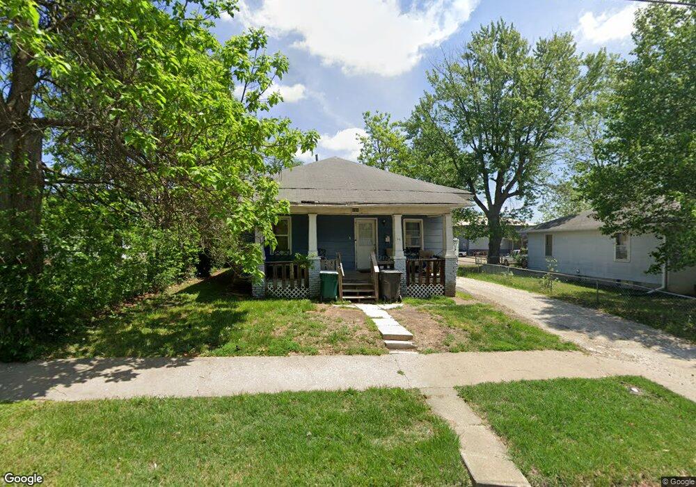
716 N Ault St Moberly, MO 65270
Estimated Value: $45,158 - $131,000
2
Beds
1
Bath
1,064
Sq Ft
$90/Sq Ft
Est. Value
About This Home
This home is located at 716 N Ault St, Moberly, MO 65270 and is currently estimated at $96,040, approximately $90 per square foot. 716 N Ault St is a home located in Randolph County with nearby schools including Moberly Senior High School, St. Pius X. Catholic School, and Maranatha Seventh-day Adventist School.
Ownership History
Date
Name
Owned For
Owner Type
Purchase Details
Closed on
Sep 15, 2025
Sold by
C And Do Property Management Llc
Bought by
Oak Row Contracting Llc
Current Estimated Value
Home Financials for this Owner
Home Financials are based on the most recent Mortgage that was taken out on this home.
Original Mortgage
$375,000
Outstanding Balance
$375,000
Interest Rate
6.72%
Mortgage Type
Credit Line Revolving
Estimated Equity
-$278,960
Create a Home Valuation Report for This Property
The Home Valuation Report is an in-depth analysis detailing your home's value as well as a comparison with similar homes in the area
Home Values in the Area
Average Home Value in this Area
Purchase History
| Date | Buyer | Sale Price | Title Company |
|---|---|---|---|
| Oak Row Contracting Llc | -- | Town & Country Abstract |
Source: Public Records
Mortgage History
| Date | Status | Borrower | Loan Amount |
|---|---|---|---|
| Open | Oak Row Contracting Llc | $375,000 |
Source: Public Records
Tax History Compared to Growth
Tax History
| Year | Tax Paid | Tax Assessment Tax Assessment Total Assessment is a certain percentage of the fair market value that is determined by local assessors to be the total taxable value of land and additions on the property. | Land | Improvement |
|---|---|---|---|---|
| 2025 | $204 | $3,280 | $874 | $2,406 |
| 2024 | $204 | $2,800 | $761 | $2,039 |
| 2023 | $207 | $2,800 | $761 | $2,039 |
| 2022 | $194 | $2,700 | $760 | $1,940 |
| 2021 | $194 | $2,700 | $760 | $1,940 |
| 2020 | $194 | $2,700 | $760 | $1,940 |
| 2019 | $194 | $2,700 | $760 | $1,940 |
| 2018 | $193 | $2,700 | $760 | $1,940 |
| 2017 | $193 | $2,700 | $0 | $0 |
| 2016 | $123 | $1,730 | $0 | $0 |
| 2014 | -- | $1,490 | $0 | $0 |
| 2013 | -- | $1,490 | $0 | $0 |
| 2012 | -- | $1,450 | $0 | $0 |
Source: Public Records
Map
Nearby Homes
- 664 & 668 N Ault St
- 812 N Moulton St
- 511 Union Ave
- 1102 N Morley St
- 609 Franklin Ave
- 625 Franklin Ave
- 523 Morehead St
- 602 Vincil St
- 531 Farror St
- 720 Saint Charles St
- 524 Barrow St
- 101 N Ault St
- 620 Burkholder St
- 815 Myra St
- 837 Myra St
- 800 Franklin St
- 1101 Stonebridge Ln
- Lot 11 Stonebridge Lane (Plat 2)
- Lot 10 Stonebridge Lane (Plat 2)