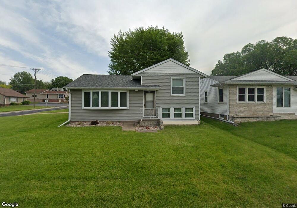
716 N Main St Port Byron, IL 61275
Estimated Value: $139,214 - $193,000
--
Bed
--
Bath
861
Sq Ft
$191/Sq Ft
Est. Value
About This Home
This home is located at 716 N Main St, Port Byron, IL 61275 and is currently estimated at $164,304, approximately $190 per square foot. 716 N Main St is a home located in Rock Island County with nearby schools including Riverdale Elementary School, Riverdale Middle School, and Riverdale Senior High School.
Create a Home Valuation Report for This Property
The Home Valuation Report is an in-depth analysis detailing your home's value as well as a comparison with similar homes in the area
Home Values in the Area
Average Home Value in this Area
Tax History Compared to Growth
Tax History
| Year | Tax Paid | Tax Assessment Tax Assessment Total Assessment is a certain percentage of the fair market value that is determined by local assessors to be the total taxable value of land and additions on the property. | Land | Improvement |
|---|---|---|---|---|
| 2024 | $2,713 | $46,763 | $12,237 | $34,526 |
| 2023 | $2,713 | $42,902 | $11,227 | $31,675 |
| 2022 | $2,070 | $39,948 | $10,708 | $29,240 |
| 2021 | $2,136 | $37,866 | $10,150 | $27,716 |
| 2020 | $2,542 | $37,306 | $10,000 | $27,306 |
| 2019 | $2,550 | $37,306 | $10,000 | $27,306 |
| 2018 | $2,623 | $38,772 | $5,524 | $33,248 |
| 2017 | $2,584 | $38,772 | $5,524 | $33,248 |
| 2016 | $2,554 | $38,237 | $5,448 | $32,789 |
| 2015 | $2,466 | $36,828 | $5,248 | $31,580 |
| 2014 | $521 | $36,106 | $5,145 | $30,961 |
| 2013 | $521 | $36,106 | $5,145 | $30,961 |
Source: Public Records
Map
Nearby Homes