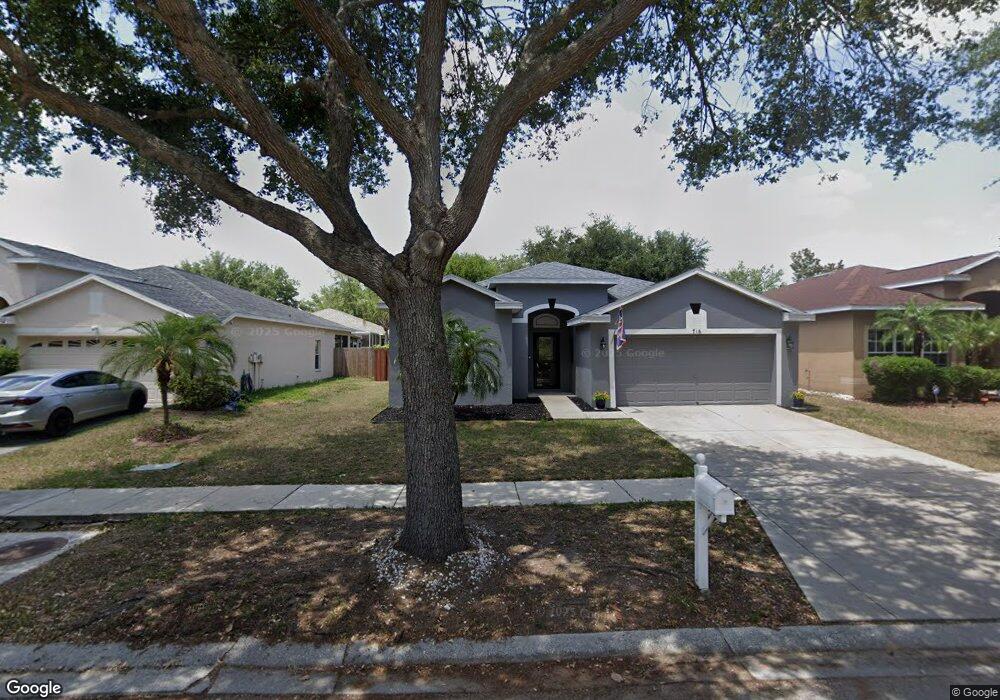
716 Parsons Pointe St Unit B Seffner, FL 33584
Estimated Value: $321,591 - $360,000
3
Beds
2
Baths
1,550
Sq Ft
$218/Sq Ft
Est. Value
About This Home
This home is located at 716 Parsons Pointe St Unit B, Seffner, FL 33584 and is currently estimated at $337,148, approximately $217 per square foot. 716 Parsons Pointe St Unit B is a home located in Hillsborough County with nearby schools including Lopez Elementary School, Burnett Middle School, and Armwood High School.
Ownership History
Date
Name
Owned For
Owner Type
Purchase Details
Closed on
Jun 26, 2003
Sold by
The Ryland Group Inc
Bought by
Henderson Larry W and Henderson Deborah K
Current Estimated Value
Home Financials for this Owner
Home Financials are based on the most recent Mortgage that was taken out on this home.
Original Mortgage
$104,517
Interest Rate
5.52%
Mortgage Type
Unknown
Create a Home Valuation Report for This Property
The Home Valuation Report is an in-depth analysis detailing your home's value as well as a comparison with similar homes in the area
Home Values in the Area
Average Home Value in this Area
Purchase History
| Date | Buyer | Sale Price | Title Company |
|---|---|---|---|
| Henderson Larry W | $130,700 | Ryland Title Company |
Source: Public Records
Mortgage History
| Date | Status | Borrower | Loan Amount |
|---|---|---|---|
| Previous Owner | Henderson Larry W | $104,517 |
Source: Public Records
Tax History Compared to Growth
Tax History
| Year | Tax Paid | Tax Assessment Tax Assessment Total Assessment is a certain percentage of the fair market value that is determined by local assessors to be the total taxable value of land and additions on the property. | Land | Improvement |
|---|---|---|---|---|
| 2024 | $1,694 | $102,529 | -- | -- |
| 2023 | $1,605 | $99,543 | $0 | $0 |
| 2022 | $1,465 | $96,644 | $0 | $0 |
| 2021 | $1,740 | $93,829 | $0 | $0 |
| 2020 | $1,662 | $92,534 | $0 | $0 |
| 2019 | $1,581 | $90,454 | $0 | $0 |
| 2018 | $1,530 | $88,767 | $0 | $0 |
| 2017 | $1,503 | $128,989 | $0 | $0 |
| 2016 | $1,468 | $85,153 | $0 | $0 |
| 2015 | $1,478 | $84,561 | $0 | $0 |
| 2014 | $1,454 | $83,890 | $0 | $0 |
| 2013 | -- | $82,380 | $0 | $0 |
Source: Public Records
Map
Nearby Homes
- 503 de Resine Carre St Unit 503DR
- 605 de Resine Carre St Unit 605DR
- 603 U S 92
- 804 Walnut Dr
- 510 Calhoun Ave
- 821 Walnut Dr
- 106 Winston Manor Cir
- 788 Parsons Mooring Ct
- 102 Cash Dr
- 1039 Davis Heather Cir
- 101 N Taylor Rd
- 502 Sportsman Park Dr
- 403 Thicket Crest Rd
- 222 Halton Cir
- 106 Phillips Dr
- 202 Running Horse Rd
- 602 Penn National Rd
- 422 Down Pine Dr
- 305 Running Horse Rd
- 424 Down Pine Dr
- 718 Parsons Pointe St Unit B
- 714 Parsons Pointe St
- 710 Star Pointe Dr Unit B
- 720 Parsons Pointe St
- 712 Parsons Pointe St
- 708 Star Pointe Dr
- 712 Star Pointe Dr Unit B
- 706 Star Pointe Dr
- 714 Star Pointe Dr
- 722 Parsons Pointe St
- 715 Parsons Pointe St Unit B
- 717 Parsons Pointe St
- 710 Parsons Pointe St Unit B
- 713 Parsons Pointe St
- 719 Parsons Pointe St
- 704 Star Pointe Dr
- 711 Parsons Pointe St Unit B
- 721 Parsons Pointe St
- 724 Parsons Pointe St
- 708 Parsons Pointe St