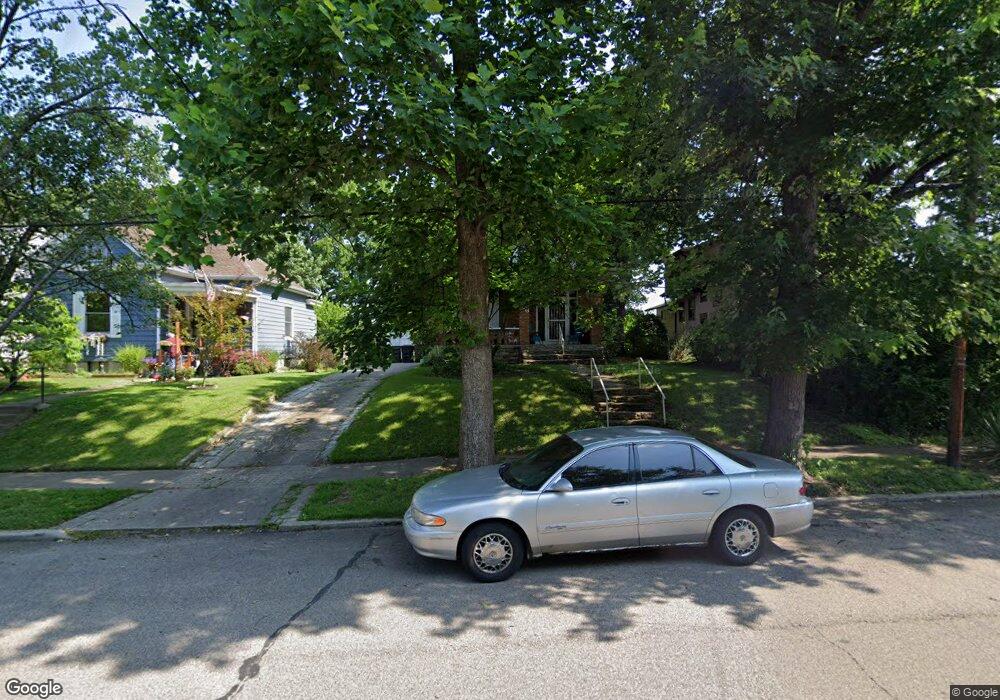
716 S Cooper Ave Cincinnati, OH 45215
Estimated Value: $158,000 - $234,000
3
Beds
2
Baths
2,206
Sq Ft
$94/Sq Ft
Est. Value
About This Home
This home is located at 716 S Cooper Ave, Cincinnati, OH 45215 and is currently estimated at $206,452, approximately $93 per square foot. 716 S Cooper Ave is a home located in Hamilton County with nearby schools including Lockland Elementary School, Lockland Middle School, and Lockland High School.
Ownership History
Date
Name
Owned For
Owner Type
Purchase Details
Closed on
Nov 3, 2015
Sold by
Sanders Randall and Sanders Julie M
Bought by
Holland Jayna
Current Estimated Value
Purchase Details
Closed on
Apr 2, 2009
Sold by
Household Realty Corporation
Bought by
Sanders Randall
Purchase Details
Closed on
Aug 28, 2008
Sold by
Dreyling Gary and Dreyling Melissa D
Bought by
Household Realty Corporation
Purchase Details
Closed on
Jan 31, 2000
Sold by
Dreyling Joy and Dreyling Joy Ellen
Bought by
Dreyling Gary R
Create a Home Valuation Report for This Property
The Home Valuation Report is an in-depth analysis detailing your home's value as well as a comparison with similar homes in the area
Home Values in the Area
Average Home Value in this Area
Purchase History
| Date | Buyer | Sale Price | Title Company |
|---|---|---|---|
| Holland Jayna | $37,000 | -- | |
| Sanders Randall | $35,000 | Attorney | |
| Household Realty Corporation | $52,000 | None Available | |
| Dreyling Gary R | -- | -- |
Source: Public Records
Tax History Compared to Growth
Tax History
| Year | Tax Paid | Tax Assessment Tax Assessment Total Assessment is a certain percentage of the fair market value that is determined by local assessors to be the total taxable value of land and additions on the property. | Land | Improvement |
|---|---|---|---|---|
| 2024 | $2,291 | $41,892 | $4,375 | $37,517 |
| 2023 | $2,307 | $41,892 | $4,375 | $37,517 |
| 2022 | $2,197 | $31,963 | $3,308 | $28,655 |
| 2021 | $2,188 | $31,963 | $3,308 | $28,655 |
| 2020 | $1,906 | $31,963 | $3,308 | $28,655 |
| 2019 | $1,942 | $30,440 | $3,150 | $27,290 |
| 2018 | $1,912 | $30,440 | $3,150 | $27,290 |
| 2017 | $1,798 | $30,440 | $3,150 | $27,290 |
| 2016 | $1,777 | $30,440 | $3,220 | $27,220 |
| 2015 | $1,668 | $30,440 | $3,220 | $27,220 |
| 2014 | $1,666 | $30,440 | $3,220 | $27,220 |
| 2013 | $1,766 | $33,086 | $3,500 | $29,586 |
Source: Public Records
Map
Nearby Homes
- 214 Harriet St
- 715 Worthington Ave
- 452 W Wyoming Ave
- 218 Lock St
- 412 N Wayne Ave
- 217 W Wyoming Ave
- 8442 Anthony Wayne Ave
- 334 Williams St
- 8421 Wiswell St
- 230 Carthage Ave
- 8410 Curzon Ave
- 81 Hillsdale Ave
- 405 Mcewing Dr
- 20 Sherry Rd
- 740 Springfield Pike
- 423 Arlington Ave
- 415 Arlington Ave
- 310 Westview Ave
- 312 Arlington Ave
- 405 W Forrer St
- 720 S Cooper Ave
- 712 S Cooper Ave
- 722 S Cooper Ave
- 226 Hosea Ave
- 724 S Cooper Ave
- 704 S Cooper Ave
- 225 Harriet St
- 224 Hosea Ave
- 707 S Cooper Ave
- 715 S Cooper Ave
- 221 Harriet St
- 222 Hosea Ave
- 703 S Cooper Ave
- 222 Hosea St
- 721 S Cooper Ave
- 723 S Cooper Ave
- 701 S Cooper Ave
- 219 Harriet St
- 218 Hosea Ave
- 631 S Cooper Ave