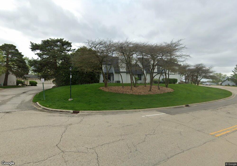
716 Shepard Ct Unit U35 Gurnee, IL 60031
Estimated Value: $223,000 - $243,000
2
Beds
2
Baths
1,364
Sq Ft
$170/Sq Ft
Est. Value
About This Home
This home is located at 716 Shepard Ct Unit U35, Gurnee, IL 60031 and is currently estimated at $232,340, approximately $170 per square foot. 716 Shepard Ct Unit U35 is a home located in Lake County with nearby schools including Woodland Primary School, Woodland Elementary School, and Woodland Intermediate School.
Ownership History
Date
Name
Owned For
Owner Type
Purchase Details
Closed on
Jan 24, 2023
Sold by
Sannes Jeffry A
Bought by
Jeffry Alan Sannes Trust and Sannes
Current Estimated Value
Purchase Details
Closed on
Jul 23, 1999
Sold by
Arza Rene L and Hoskins Arza Rhonda
Bought by
Sannes Jeffry A
Home Financials for this Owner
Home Financials are based on the most recent Mortgage that was taken out on this home.
Original Mortgage
$89,890
Interest Rate
7.68%
Mortgage Type
FHA
Purchase Details
Closed on
Aug 18, 1995
Sold by
Hinman Julia F and Honnold Julia F
Bought by
Arza Rene L and Hoskins Arza Rhonda
Home Financials for this Owner
Home Financials are based on the most recent Mortgage that was taken out on this home.
Original Mortgage
$89,050
Interest Rate
7.43%
Create a Home Valuation Report for This Property
The Home Valuation Report is an in-depth analysis detailing your home's value as well as a comparison with similar homes in the area
Home Values in the Area
Average Home Value in this Area
Purchase History
| Date | Buyer | Sale Price | Title Company |
|---|---|---|---|
| Jeffry Alan Sannes Trust | -- | None Listed On Document | |
| Sannes Jeffry A | $98,000 | Collar Counties Title Plant | |
| Arza Rene L | $94,000 | Golden Title |
Source: Public Records
Mortgage History
| Date | Status | Borrower | Loan Amount |
|---|---|---|---|
| Previous Owner | Sannes Jeffry A | $89,890 | |
| Previous Owner | Arza Rene L | $89,050 |
Source: Public Records
Tax History
| Year | Tax Paid | Tax Assessment Tax Assessment Total Assessment is a certain percentage of the fair market value that is determined by local assessors to be the total taxable value of land and additions on the property. | Land | Improvement |
|---|---|---|---|---|
| 2024 | $3,744 | $58,271 | $8,185 | $50,086 |
| 2023 | $3,731 | $54,100 | $7,599 | $46,501 |
| 2022 | $3,731 | $49,274 | $5,929 | $43,345 |
| 2021 | $3,093 | $44,620 | $5,369 | $39,251 |
| 2020 | $2,973 | $43,523 | $5,237 | $38,286 |
| 2019 | $2,875 | $42,259 | $5,085 | $37,174 |
| 2018 | $1,970 | $32,917 | $2,652 | $30,265 |
| 2017 | $1,936 | $31,974 | $2,576 | $29,398 |
| 2016 | $1,879 | $30,550 | $2,461 | $28,089 |
| 2015 | $1,781 | $28,974 | $2,334 | $26,640 |
| 2014 | $1,611 | $27,304 | $2,303 | $25,001 |
| 2012 | $3,141 | $27,513 | $2,321 | $25,192 |
Source: Public Records
Map
Nearby Homes
- 727 Colby Ct Unit U57
- 705 Colby Ct Unit U78
- 748 Chandler Rd
- 758 Chandler Rd Unit U159
- 690 Chandler Rd Unit 302
- 650 Whitney Ct Unit 108
- 650 Whitney Ct Unit 211
- 598 Dunham Rd Unit U297
- 920 Vose Dr Unit 106
- 755 Darnell Ln
- 6150 Oakmont Ln
- 6296 Doral Dr
- 33430 N Hunt Club Rd
- 6480 Doral Dr
- 6063 Morningside Ct
- 17150 W Washington St
- 6091 Washington St
- 84 Foxboro Ln Unit 3
- 17635 W Windslow Dr
- 387 Long Hill Rd
- 718 Shepard Ct Unit U34
- 720 Shepard Ct Unit U33
- 722 Shepard Ct Unit U12
- 724 Shepard Ct
- 713 Shepard Ct Unit U37
- 725 Shepard Ct Unit U30
- 711 Shepard Ct
- 727 Shepard Ct
- 707 Shepard Ct
- 709 Shepard Ct Unit U39
- 729 Shepard Ct Unit U28
- 735 Shepard Ct Unit U25
- 733 Shepard Ct Unit U26
- 731 Shepard Ct Unit U27
- 737 Shepard Ct Unit 24
- 716 Colby Ct Unit U62
- 739 Shepard Ct Unit U23
- 714 Colby Ct
- 726 Shepard Rd Unit U198
- 741 Shepard Ct Unit U22
Your Personal Tour Guide
Ask me questions while you tour the home.