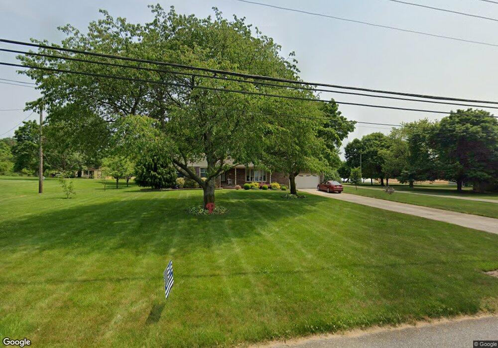
716 Union Rd Mickleton, NJ 08056
Estimated Value: $506,000 - $528,000
Studio
--
Bath
2,068
Sq Ft
$251/Sq Ft
Est. Value
About This Home
This home is located at 716 Union Rd, Mickleton, NJ 08056 and is currently estimated at $518,371, approximately $250 per square foot. 716 Union Rd is a home located in Gloucester County with nearby schools including Jeffrey Clark School, Samuel Mickle School, and Kingsway Regional Middle School.
Ownership History
Date
Name
Owned For
Owner Type
Purchase Details
Closed on
May 11, 2009
Sold by
Jamiolkowski Michael
Bought by
Jamiolkowski Michael and Jamiolkowski Marylee
Current Estimated Value
Home Financials for this Owner
Home Financials are based on the most recent Mortgage that was taken out on this home.
Original Mortgage
$167,250
Outstanding Balance
$106,127
Interest Rate
4.93%
Mortgage Type
Stand Alone First
Estimated Equity
$412,244
Purchase Details
Closed on
Sep 18, 2003
Sold by
Gentile Edward R and Gentile Connie J
Bought by
Jamiolkowski Michael
Home Financials for this Owner
Home Financials are based on the most recent Mortgage that was taken out on this home.
Original Mortgage
$182,400
Interest Rate
5.98%
Mortgage Type
Purchase Money Mortgage
Create a Home Valuation Report for This Property
The Home Valuation Report is an in-depth analysis detailing your home's value as well as a comparison with similar homes in the area
Home Values in the Area
Average Home Value in this Area
Purchase History
| Date | Buyer | Sale Price | Title Company |
|---|---|---|---|
| Jamiolkowski Michael | -- | None Available | |
| Jamiolkowski Michael | $228,000 | Weichert Title Agency |
Source: Public Records
Mortgage History
| Date | Status | Borrower | Loan Amount |
|---|---|---|---|
| Open | Jamiolkowski Michael | $167,250 | |
| Previous Owner | Jamiolkowski Michael | $182,400 |
Source: Public Records
Tax History
| Year | Tax Paid | Tax Assessment Tax Assessment Total Assessment is a certain percentage of the fair market value that is determined by local assessors to be the total taxable value of land and additions on the property. | Land | Improvement |
|---|---|---|---|---|
| 2025 | $9,744 | $306,500 | $96,500 | $210,000 |
| 2024 | $9,434 | $306,500 | $96,500 | $210,000 |
Source: Public Records
Map
Nearby Homes
- 253 Jennings Way
- 67 E Rattling Run Rd
- 325 Windsor Rd
- 0 Tomlin Station Rd Unit NJGL2061600
- 552 Hereford Ln
- 642 Bainbridge Dr
- 18 Millwood Dr
- 607 Apple Dr
- 6 Burton Ln
- 126 Cider Press Dr
- 41 Redkist Dr
- 53 Redkist Dr
- 34 Redkist Dr
- 55 Redkist Dr
- 32 Redkist Dr
- 57 Redkist Dr
- 30 Redkist Dr
- 59 Redkist Dr
- 28 Redkist Dr
- 26 Redkist Dr
Your Personal Tour Guide
Ask me questions while you tour the home.