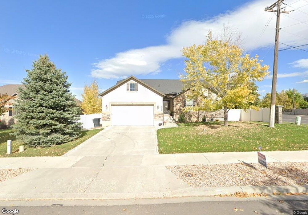
716 W 1550 S Unit 245 Payson, UT 84651
Estimated Value: $576,000 - $583,000
3
Beds
3
Baths
1,679
Sq Ft
$345/Sq Ft
Est. Value
About This Home
This home is located at 716 W 1550 S Unit 245, Payson, UT 84651 and is currently estimated at $579,987, approximately $345 per square foot. 716 W 1550 S Unit 245 is a home located in Utah County with nearby schools including Spring Lake Elementary, Payson Junior High School, and Payson High School.
Ownership History
Date
Name
Owned For
Owner Type
Purchase Details
Closed on
Mar 24, 2010
Sold by
Helvey Donald C and Helvey Jeannette
Bought by
Helvey Donald C and Helvey Jeannette
Current Estimated Value
Home Financials for this Owner
Home Financials are based on the most recent Mortgage that was taken out on this home.
Original Mortgage
$121,000
Interest Rate
4.94%
Mortgage Type
New Conventional
Purchase Details
Closed on
May 25, 2006
Sold by
Kriser Homes & Communities Inc
Bought by
Helvey Donald C and Helvey Jeannette
Home Financials for this Owner
Home Financials are based on the most recent Mortgage that was taken out on this home.
Original Mortgage
$183,992
Outstanding Balance
$107,290
Interest Rate
6.52%
Mortgage Type
Purchase Money Mortgage
Estimated Equity
$472,697
Create a Home Valuation Report for This Property
The Home Valuation Report is an in-depth analysis detailing your home's value as well as a comparison with similar homes in the area
Home Values in the Area
Average Home Value in this Area
Purchase History
| Date | Buyer | Sale Price | Title Company |
|---|---|---|---|
| Helvey Donald C | -- | United West Title | |
| Helvey Donald C | -- | Mountain West Title Company |
Source: Public Records
Mortgage History
| Date | Status | Borrower | Loan Amount |
|---|---|---|---|
| Closed | Helvey Donald C | $121,000 | |
| Open | Helvey Donald C | $183,992 |
Source: Public Records
Tax History Compared to Growth
Tax History
| Year | Tax Paid | Tax Assessment Tax Assessment Total Assessment is a certain percentage of the fair market value that is determined by local assessors to be the total taxable value of land and additions on the property. | Land | Improvement |
|---|---|---|---|---|
| 2025 | $2,778 | $304,535 | $176,400 | $377,300 |
| 2024 | $2,778 | $282,700 | $0 | $0 |
| 2023 | $2,799 | $285,615 | $0 | $0 |
| 2022 | $2,869 | $287,925 | $0 | $0 |
| 2021 | $2,433 | $391,700 | $115,800 | $275,900 |
| 2020 | $2,309 | $363,600 | $105,300 | $258,300 |
| 2019 | $2,140 | $345,500 | $87,200 | $258,300 |
| 2018 | $1,933 | $300,900 | $76,300 | $224,600 |
| 2017 | $1,879 | $157,245 | $0 | $0 |
| 2016 | $1,819 | $151,250 | $0 | $0 |
| 2015 | $1,734 | $143,165 | $0 | $0 |
| 2014 | $1,612 | $134,090 | $0 | $0 |
Source: Public Records
Map
Nearby Homes
- 1582 S 790 W
- 598 W Saddlebrook Dr
- 1592 S 790 W
- 588 W 1450 S
- 802 Brookside Ct
- 1579 S 910 W
- 922 W 1620 S
- 1002 W Temple Rim Ln
- 1597 S 1100 W
- 1605 S 1100 W
- 1825 S 410 W
- 1733 S 1100 W Unit 12
- 1856 S 410 W
- 32 E 1690 S
- 32 E 1690 S Unit 113
- 480 W 1890 S
- 1763 S 1100 W Unit 14
- 1868 S 410 W
- 44 W 1690 S Unit 109
- 1161 Utah 198
- 716 W 1550 S
- 728 W 1550 S
- 728 W 1550 S Unit 244
- 742 W 1550 S
- 742 W 1550 S Unit 243
- 1553 S 740 W
- 754 W 1550 S
- 754 W 1550 S Unit 242
- 11621 S Highway 198
- 1559 S 740 W
- 1559 S 740 W Unit 247
- 685 Saddlebrook Dr
- 5895 W 1550 S
- 766 W 1550 S
- 766 W 1550 S Unit 241
- 761 W 1550 S
- 1601 S Highway 198
- 677 Saddlebrook Dr
- 1565 S 740 W
- 1565 S 740 W Unit 248