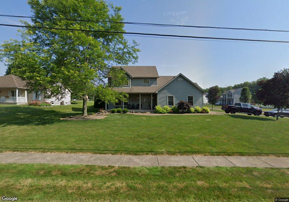
716 W Broad St Newton Falls, OH 44444
Estimated Value: $305,000 - $333,000
3
Beds
3
Baths
2,564
Sq Ft
$126/Sq Ft
Est. Value
About This Home
This home is located at 716 W Broad St, Newton Falls, OH 44444 and is currently estimated at $323,239, approximately $126 per square foot. 716 W Broad St is a home located in Trumbull County with nearby schools including Newton Falls Middle School, Newton Falls Junior High School, and Newton Falls High School.
Ownership History
Date
Name
Owned For
Owner Type
Purchase Details
Closed on
Oct 25, 2016
Sold by
Falb Ryan D and Falb Alayna M
Bought by
Falb Ryan David and Falb Alayna Michelle
Current Estimated Value
Purchase Details
Closed on
Nov 4, 2005
Sold by
Joe Koch Construction Inc
Bought by
Falb Ryan D and Falb Alayna M
Home Financials for this Owner
Home Financials are based on the most recent Mortgage that was taken out on this home.
Original Mortgage
$177,200
Outstanding Balance
$96,199
Interest Rate
5.89%
Mortgage Type
New Conventional
Estimated Equity
$227,040
Create a Home Valuation Report for This Property
The Home Valuation Report is an in-depth analysis detailing your home's value as well as a comparison with similar homes in the area
Home Values in the Area
Average Home Value in this Area
Purchase History
| Date | Buyer | Sale Price | Title Company |
|---|---|---|---|
| Falb Ryan David | -- | None Available | |
| Falb Ryan D | $231,976 | -- |
Source: Public Records
Mortgage History
| Date | Status | Borrower | Loan Amount |
|---|---|---|---|
| Open | Falb Ryan D | $177,200 |
Source: Public Records
Tax History Compared to Growth
Tax History
| Year | Tax Paid | Tax Assessment Tax Assessment Total Assessment is a certain percentage of the fair market value that is determined by local assessors to be the total taxable value of land and additions on the property. | Land | Improvement |
|---|---|---|---|---|
| 2024 | $4,122 | $94,750 | $10,890 | $83,860 |
| 2023 | $4,122 | $94,750 | $10,890 | $83,860 |
| 2022 | $3,854 | $76,690 | $10,890 | $65,800 |
| 2021 | $4,089 | $76,690 | $10,890 | $65,800 |
| 2020 | $3,792 | $76,690 | $10,890 | $65,800 |
| 2019 | $3,661 | $69,660 | $10,890 | $58,770 |
| 2018 | $3,556 | $69,660 | $10,890 | $58,770 |
| 2017 | $3,549 | $69,660 | $10,890 | $58,770 |
| 2016 | $3,265 | $64,160 | $10,890 | $53,270 |
| 2015 | $3,252 | $64,160 | $10,890 | $53,270 |
| 2014 | $2,828 | $64,160 | $10,890 | $53,270 |
| 2013 | $2,875 | $69,450 | $10,890 | $58,560 |
Source: Public Records
Map
Nearby Homes
- 38 W 8th St
- 455 Lemae St
- 431 S Canal St
- 32 Orchard St
- 5587 Charleston Rd
- 61 Bridge St
- 0 State Route 5 Unit 5085736
- 1534 Newton Falls Portage Rd
- 0 2nd St
- 57 E Main St
- 1054 Water St
- 328 Oak Knoll Ave
- 348 Arlington Blvd
- 83 Maple Dr
- 2567 S Canal St
- 4908 Woodlawn Ave
- 722 Arlington Blvd
- 4374 Richmond Ave
- 211 Mayhill Dr
- 1313 Shavers St SW
- 14 Eagle Point Dr
- 718 W Broad St
- 820 W Broad St
- 21 Eagle Point Dr
- 709 W Broad St
- 717 Red Hawk Trail
- 822 W Broad St
- 649 W Broad St
- 0 Eagle Point Dr
- 819 Red Hawk Trail
- 29 Eagle Point Dr
- Lot #6 Red Hawk Trail
- 821 Red Hawk Trail
- 710 W Broad St
- 20 W 6th St
- 637 W Broad St
- 32 Eagle Point Dr
- 33 Eagle Point Dr
- 708 W Broad St
- 30 W 6th St