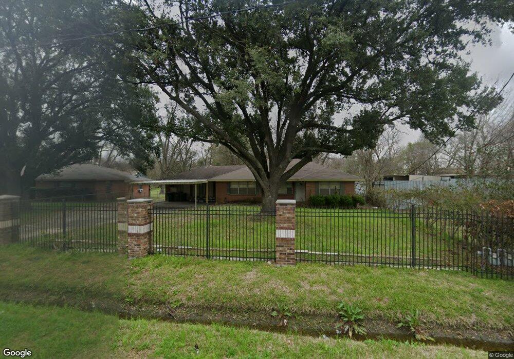
716 W Rittenhouse Rd Houston, TX 77091
Acres Homes NeighborhoodEstimated Value: $290,000 - $336,000
4
Beds
2
Baths
2,631
Sq Ft
$116/Sq Ft
Est. Value
About This Home
This home is located at 716 W Rittenhouse Rd, Houston, TX 77091 and is currently estimated at $306,490, approximately $116 per square foot. 716 W Rittenhouse Rd is a home located in Harris County with nearby schools including Wesley Elementary School, Williams Middle, and Booker T Washington Sr High.
Ownership History
Date
Name
Owned For
Owner Type
Purchase Details
Closed on
May 24, 1994
Sold by
Krebs Frederick C and Krebs Doris J
Bought by
Bonds Reginald B and Bonds Sylvia C
Current Estimated Value
Home Financials for this Owner
Home Financials are based on the most recent Mortgage that was taken out on this home.
Original Mortgage
$57,000
Interest Rate
8.19%
Create a Home Valuation Report for This Property
The Home Valuation Report is an in-depth analysis detailing your home's value as well as a comparison with similar homes in the area
Home Values in the Area
Average Home Value in this Area
Purchase History
| Date | Buyer | Sale Price | Title Company |
|---|---|---|---|
| Bonds Reginald B | -- | Stewart Title |
Source: Public Records
Mortgage History
| Date | Status | Borrower | Loan Amount |
|---|---|---|---|
| Closed | Bonds Reginald B | $57,000 |
Source: Public Records
Tax History Compared to Growth
Tax History
| Year | Tax Paid | Tax Assessment Tax Assessment Total Assessment is a certain percentage of the fair market value that is determined by local assessors to be the total taxable value of land and additions on the property. | Land | Improvement |
|---|---|---|---|---|
| 2025 | $5,189 | $239,000 | $177,102 | $61,898 |
| 2024 | $5,189 | $247,977 | $177,102 | $70,875 |
| 2023 | $5,189 | $276,449 | $177,102 | $99,347 |
| 2022 | $4,360 | $198,000 | $138,226 | $59,774 |
| 2021 | $4,496 | $192,913 | $86,391 | $106,522 |
| 2020 | $3,631 | $149,935 | $44,923 | $105,012 |
| 2019 | $3,149 | $124,435 | $17,278 | $107,157 |
| 2018 | $2,701 | $106,721 | $17,278 | $89,443 |
| 2017 | $2,699 | $106,721 | $17,278 | $89,443 |
| 2016 | $2,699 | $106,721 | $17,278 | $89,443 |
| 2015 | $2,597 | $101,031 | $11,879 | $89,152 |
| 2014 | $2,597 | $101,031 | $11,879 | $89,152 |
Source: Public Records
Map
Nearby Homes
- 859 W Rittenhouse St
- 715 W Rittenhouse Rd
- 824 W Rittenhouse St
- 747 W Rittenhouse Rd
- 740 Millville Dr
- 748 Millville Dr
- 775 Rittenhouse St
- 7014 De Priest St
- 741 Granville Dr
- 6220 De Priest St
- 862 Granville Dr
- 814 Granville Dr
- 5736 Stuebner Airline Rd
- 6315 N Shepherd Dr
- 0 Lovers Ln Unit 36585920
- 855 W Little York Rd
- 834 Green Meadow Ln
- 1031 S Victory Dr
- 1033 S Victory Dr
- 847 S Victory Dr
- 724 W Rittenhouse Rd
- 708 W Rittenhouse St
- 728 W Rittenhouse Rd
- 728 W Rittenhouse St
- 719 W Rittenhouse Rd
- 727 Millville Dr
- 711 Millville Dr
- 723 W Rittenhouse Rd
- 705 Millville Dr
- 7115 N Shepherd Dr
- 709 W Rittenhouse Rd
- 736 W Rittenhouse Rd
- 7127 N Shepherd Dr
- 709 W Rittenhouse St
- 729 Millville Dr
- 740 W Rittenhouse Rd
- 740 W Rittenhouse Rd
- 737 Millville Dr
- 744 W Rittenhouse Rd
- 718 Millville Dr