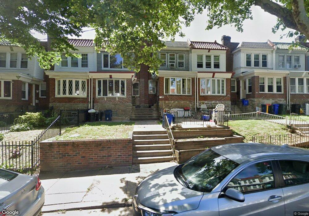
7164 N Uber St Philadelphia, PA 19138
West Oak Lane NeighborhoodEstimated Value: $177,000 - $239,000
3
Beds
1
Bath
1,194
Sq Ft
$165/Sq Ft
Est. Value
About This Home
This home is located at 7164 N Uber St, Philadelphia, PA 19138 and is currently estimated at $196,672, approximately $164 per square foot. 7164 N Uber St is a home located in Philadelphia County with nearby schools including William Rowen School, Gen. Louis Wagner Middle School, and Martin Luther King High School.
Create a Home Valuation Report for This Property
The Home Valuation Report is an in-depth analysis detailing your home's value as well as a comparison with similar homes in the area
Home Values in the Area
Average Home Value in this Area
Tax History Compared to Growth
Tax History
| Year | Tax Paid | Tax Assessment Tax Assessment Total Assessment is a certain percentage of the fair market value that is determined by local assessors to be the total taxable value of land and additions on the property. | Land | Improvement |
|---|---|---|---|---|
| 2025 | $2,249 | $196,400 | $39,280 | $157,120 |
| 2024 | $2,249 | $196,400 | $39,280 | $157,120 |
| 2023 | $2,249 | $160,700 | $32,140 | $128,560 |
| 2022 | $1,060 | $115,700 | $32,140 | $83,560 |
| 2021 | $1,690 | $0 | $0 | $0 |
| 2020 | $1,690 | $0 | $0 | $0 |
| 2019 | $1,764 | $0 | $0 | $0 |
| 2018 | $1,531 | $0 | $0 | $0 |
| 2017 | $1,531 | $0 | $0 | $0 |
| 2016 | $1,111 | $0 | $0 | $0 |
| 2015 | $1,064 | $0 | $0 | $0 |
| 2014 | -- | $109,400 | $12,367 | $97,033 |
| 2012 | -- | $14,880 | $2,772 | $12,108 |
Source: Public Records
Map
Nearby Homes
- 7188 N Uber St
- 7159 N 20th St
- 1996 73rd Ave
- 1911 72nd Ave
- 1975 73rd Ave
- 1979 73rd Ave
- 1980 Penfield St
- 1847 Plymouth St
- 7153 N 19th St
- 7092 Forrest Ave
- 1825 Dallas St
- 6943 N 19th St
- 1947 Penfield St
- 7245 Ogontz Ave
- 1837 73rd Ave
- 1810 72nd Ave
- 1815 Elston St
- 7321 Sommers Rd
- 6908 Ogontz Ave
- 1934 69th Ave