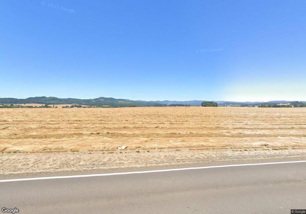
7165 NW Westside Rd Carlton, OR 97111
Estimated Value: $760,000 - $877,485
3
Beds
3
Baths
3,416
Sq Ft
$236/Sq Ft
Est. Value
About This Home
This home is located at 7165 NW Westside Rd, Carlton, OR 97111 and is currently estimated at $804,621, approximately $235 per square foot. 7165 NW Westside Rd is a home located in Yamhill County with nearby schools including Memorial Elementary School, Patton Middle School, and McMinnville High School.
Ownership History
Date
Name
Owned For
Owner Type
Purchase Details
Closed on
Sep 2, 2020
Sold by
Schmidt Janice P
Bought by
Schmidt Paul Wayne
Current Estimated Value
Purchase Details
Closed on
Jul 12, 2005
Sold by
Currier Vaunne O
Bought by
Schmidt Paul Wayne
Home Financials for this Owner
Home Financials are based on the most recent Mortgage that was taken out on this home.
Original Mortgage
$221,000
Outstanding Balance
$113,300
Interest Rate
5.58%
Mortgage Type
Stand Alone First
Estimated Equity
$691,321
Create a Home Valuation Report for This Property
The Home Valuation Report is an in-depth analysis detailing your home's value as well as a comparison with similar homes in the area
Home Values in the Area
Average Home Value in this Area
Purchase History
| Date | Buyer | Sale Price | Title Company |
|---|---|---|---|
| Schmidt Paul Wayne | -- | Ticor Title Company Of Or | |
| Schmidt Paul Wayne | $321,000 | Western Title & Escrow Co |
Source: Public Records
Mortgage History
| Date | Status | Borrower | Loan Amount |
|---|---|---|---|
| Open | Schmidt Paul Wayne | $221,000 |
Source: Public Records
Tax History Compared to Growth
Tax History
| Year | Tax Paid | Tax Assessment Tax Assessment Total Assessment is a certain percentage of the fair market value that is determined by local assessors to be the total taxable value of land and additions on the property. | Land | Improvement |
|---|---|---|---|---|
| 2025 | $5,109 | $409,621 | -- | -- |
| 2024 | $4,978 | $397,690 | -- | -- |
| 2023 | $4,824 | $386,107 | $0 | $0 |
| 2022 | $4,326 | $374,861 | $0 | $0 |
| 2021 | $4,221 | $363,943 | $0 | $0 |
| 2020 | $4,105 | $353,343 | $0 | $0 |
| 2019 | $3,990 | $343,051 | $0 | $0 |
| 2018 | $3,874 | $333,059 | $0 | $0 |
| 2017 | $3,766 | $323,358 | $0 | $0 |
| 2016 | $3,699 | $313,940 | $0 | $0 |
| 2015 | $3,592 | $304,798 | $0 | $0 |
| 2014 | $3,501 | $295,922 | $0 | $0 |
Source: Public Records
Map
Nearby Homes
- 7295 NW Poverty Bend Rd
- 8180 Highway 47
- 8030 NW Meadow Lake Rd
- 801 S Park St
- 50 W Taylor St
- 138 S 7th St
- 0 Lot 5 Block 6 Unit 539147539
- 0 Lot 3 Block 6 Unit 269779573
- 0 Lot 6 Block 7 Unit 117038946
- 0 16 Lots J Wennerberg Unit 694116659
- 0 Lot 5 Block 7 Unit 518518534
- 0 Lot 3 Block 7 Unit 557701464
- 0 Lot 1 Block 7 Unit 531708602
- 0 Lot 4 Block 7 Unit 692577003
- 0 Lot 7 Block 6 Unit 497591829
- 0 Lot 2 Block 7 Unit 179099765
- 0 Lot 2 Block 6 Unit 532093008
- 0 Lot 6 Block 6 Unit 661199021
- 0 Lot 8 Block 6 Unit 316516920
- 0 Lot 7 Block 7 Unit 339467638
