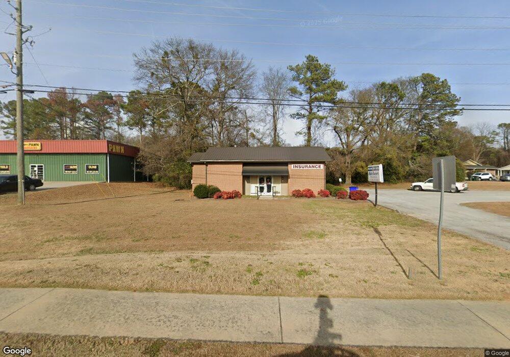
7169 Highway 278 NE Covington, GA 30014
Estimated Value: $381,819
--
Bed
5
Baths
974
Sq Ft
$392/Sq Ft
Est. Value
About This Home
This home is located at 7169 Highway 278 NE, Covington, GA 30014 and is currently estimated at $381,819, approximately $392 per square foot. 7169 Highway 278 NE is a home located in Newton County with nearby schools including Flint Hill Elementary School, Cousins Middle School, and Eastside High School.
Ownership History
Date
Name
Owned For
Owner Type
Purchase Details
Closed on
Aug 1, 2021
Sold by
Dobbs And Ewing Investments Llc
Bought by
Dobbs Denny M
Current Estimated Value
Purchase Details
Closed on
Dec 15, 2005
Sold by
Dobbs & Ewing Invest
Bought by
Dobbs & Ewing Inv Llc
Purchase Details
Closed on
Jan 15, 2002
Sold by
Agsouth Farm Credit Aca
Bought by
Lower River Props Inc
Home Financials for this Owner
Home Financials are based on the most recent Mortgage that was taken out on this home.
Original Mortgage
$18,000
Interest Rate
6.85%
Mortgage Type
Commercial
Create a Home Valuation Report for This Property
The Home Valuation Report is an in-depth analysis detailing your home's value as well as a comparison with similar homes in the area
Home Values in the Area
Average Home Value in this Area
Purchase History
| Date | Buyer | Sale Price | Title Company |
|---|---|---|---|
| Dobbs Denny M | $300,000 | -- | |
| Dobbs & Ewing Inv Llc | -- | -- | |
| Lower River Props Inc | -- | -- |
Source: Public Records
Mortgage History
| Date | Status | Borrower | Loan Amount |
|---|---|---|---|
| Previous Owner | Lower River Props Inc | $18,000 |
Source: Public Records
Tax History Compared to Growth
Tax History
| Year | Tax Paid | Tax Assessment Tax Assessment Total Assessment is a certain percentage of the fair market value that is determined by local assessors to be the total taxable value of land and additions on the property. | Land | Improvement |
|---|---|---|---|---|
| 2024 | $3,904 | $110,920 | $79,440 | $31,480 |
| 2023 | $4,378 | $116,760 | $79,440 | $37,320 |
| 2022 | $4,170 | $111,200 | $79,440 | $31,760 |
| 2021 | $4,206 | $101,800 | $71,480 | $30,320 |
| 2020 | $4,593 | $101,800 | $71,480 | $30,320 |
| 2019 | $4,096 | $89,760 | $62,560 | $27,200 |
| 2018 | $2,069 | $89,760 | $62,560 | $27,200 |
| 2017 | $3,990 | $86,560 | $62,560 | $24,000 |
| 2016 | $3,501 | $85,200 | $62,560 | $22,640 |
| 2015 | $3,486 | $84,720 | $62,560 | $22,160 |
| 2014 | $3,485 | $84,720 | $0 | $0 |
Source: Public Records
Map
Nearby Homes
- 10630 Highway 278 NE
- 6127 Floyd St NE
- 6104 Floyd St NE
- 6193 Collins St NE
- 6192 Collins St NE
- 5139 West Dr NE
- 5130 N Dearing St NE
- 9202 Settlers Grove Rd NE
- 0 Highway 278 NE Unit 10595588
- 5150 Wheat St NE
- 4105 Rose Ln NE
- 5118 Floyd St NE
- 4217 Elizabeth St NE
- 4181 A&B Floyd St NE
- 4128 Elizabeth St NE
- 10167 Waterford Rd NE
- 7128 Honeysuckle Ct SE
- 3127 Mill St SE
- 6203 Crestview Dr SE
- 3149 Thompson Ave SE
- 7169 U S 278
- 7195 Highway 278
- 7195 Highway 278 NE
- 7197 Highway 278 NE
- 7197 Highway 278 NE Unit A
- 7111 Fowler Ct NE
- 7125 Floyd St NE
- 6217 U S 278
- 7101 Floyd St NE
- 7101 U S 278
- 6189 Newton Dr NE
- 7101 Highway 278 NE
- 7116 Floyd St NE
- 7175 Industrial Blvd NE
- 6140 Hannah St NE
- 8359 Nolley Dr
- 8325 Hazelbrand Rd NE
- 6128 Hannah St NE
- 0 Hannah St NE
- 6116 Hannah St NE