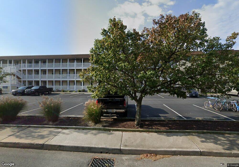
717 142nd St Ocean City, MD 21842
Estimated Value: $193,000 - $262,000
--
Bed
1
Bath
585
Sq Ft
$395/Sq Ft
Est. Value
About This Home
This home is located at 717 142nd St, Ocean City, MD 21842 and is currently estimated at $230,893, approximately $394 per square foot. 717 142nd St is a home located in Worcester County with nearby schools including Ocean City Elementary School, Stephen Decatur Middle School, and Berlin Intermediate School.
Ownership History
Date
Name
Owned For
Owner Type
Purchase Details
Closed on
Mar 13, 2015
Sold by
Kotsifakis David
Bought by
Scarinzi Mary K and Scarinzi Michael A
Current Estimated Value
Purchase Details
Closed on
Feb 15, 2013
Sold by
Kotsifakis David and Kotsifakis Carla
Bought by
Kotsifakis David
Purchase Details
Closed on
Apr 23, 2002
Sold by
Kotsifakis David
Bought by
Kotsifakis David and Kotsifakis Carla
Purchase Details
Closed on
Jun 19, 2001
Sold by
Kane Joan M
Bought by
Kotsifakis David
Purchase Details
Closed on
Dec 17, 1982
Sold by
Lighthouse Village Condominium
Bought by
Kane Joan M
Home Financials for this Owner
Home Financials are based on the most recent Mortgage that was taken out on this home.
Original Mortgage
$28,000
Interest Rate
13.63%
Create a Home Valuation Report for This Property
The Home Valuation Report is an in-depth analysis detailing your home's value as well as a comparison with similar homes in the area
Home Values in the Area
Average Home Value in this Area
Purchase History
| Date | Buyer | Sale Price | Title Company |
|---|---|---|---|
| Scarinzi Mary K | $65,000 | None Available | |
| Kotsifakis David | -- | None Available | |
| Kotsifakis David | -- | -- | |
| Kotsifakis David | $55,750 | -- | |
| Kane Joan M | $38,000 | -- |
Source: Public Records
Mortgage History
| Date | Status | Borrower | Loan Amount |
|---|---|---|---|
| Previous Owner | Kane Joan M | $28,000 | |
| Closed | Kotsifakis David | -- |
Source: Public Records
Tax History Compared to Growth
Tax History
| Year | Tax Paid | Tax Assessment Tax Assessment Total Assessment is a certain percentage of the fair market value that is determined by local assessors to be the total taxable value of land and additions on the property. | Land | Improvement |
|---|---|---|---|---|
| 2025 | $2,005 | $146,833 | $0 | $0 |
| 2024 | $1,649 | $118,167 | $0 | $0 |
| 2023 | $1,258 | $89,500 | $44,700 | $44,800 |
| 2022 | $1,230 | $87,533 | $0 | $0 |
| 2021 | $1,209 | $85,567 | $0 | $0 |
| 2020 | $1,181 | $83,600 | $41,800 | $41,800 |
| 2019 | $1,189 | $83,600 | $41,800 | $41,800 |
| 2018 | $1,177 | $83,600 | $41,800 | $41,800 |
| 2017 | $1,445 | $102,300 | $0 | $0 |
| 2016 | $1,496 | $102,300 | $0 | $0 |
| 2015 | $1,460 | $102,300 | $0 | $0 |
| 2014 | $1,460 | $111,100 | $0 | $0 |
Source: Public Records
Map
Nearby Homes
- 717 142nd St
- 14211 Dukes Ave Unit 203
- 14109 Dukes Ave
- 702A Kelly Rd
- 731 Anchor Chain Rd
- 14125 Sea Captain Rd
- 743 Laurel Ave
- 14311 Tunnel Ave Unit 101
- 14311 Tunnel Ave Unit 304
- 403 143rd St Unit 6
- 13444 Madison Ave
- 703 Loop Rd
- 13022 Wilson Ave
- 14405 Tunnel Ave
- 14401 Tunnel Ave Unit 263
- 14401 Tunnel Ave Unit 262
- 411 146th St Unit 145
- 411 146th St Unit 225
- 14009 N Ocean Rd
- 13031 Hayes Ave Unit 8
- 717 142nd St Unit 324
- 717 142nd St Unit 333
- 717 142nd St Unit 321
- 717 142nd St
- 717 142nd St
- 717 142nd St
- 717 142nd St
- 717 142nd St
- 717 142nd St
- 717 142nd St
- 717 142nd St
- 717 142nd St
- 717 142nd St
- 717 142nd St
- 717 142nd St
- 717 142nd St
- 717 142nd St Unit 325
- 717 142nd St Unit 332
- 717 142nd St Unit C313
- 717 142nd St Unit 331