717 Apache Rd Georgetown, SC 29440
Estimated Value: $344,402 - $511,000
3
Beds
2
Baths
1,792
Sq Ft
$230/Sq Ft
Est. Value
About This Home
This home is located at 717 Apache Rd, Georgetown, SC 29440 and is currently estimated at $412,101, approximately $229 per square foot. 717 Apache Rd is a home located in Georgetown County with nearby schools including Pleasant Hill Elementary School, Carvers Bay Middle School, and Carvers Bay High School.
Ownership History
Date
Name
Owned For
Owner Type
Purchase Details
Closed on
May 30, 2008
Sold by
Dail Investment Properties Llc
Bought by
Johnson James T and Johnson Stella Michelle
Current Estimated Value
Home Financials for this Owner
Home Financials are based on the most recent Mortgage that was taken out on this home.
Original Mortgage
$177,625
Outstanding Balance
$110,863
Interest Rate
5.86%
Mortgage Type
FHA
Estimated Equity
$301,238
Purchase Details
Closed on
Jan 3, 2008
Sold by
Blakely Samuel E and Blakely Crystal Michelle
Bought by
Dail Investment Properties Llc
Create a Home Valuation Report for This Property
The Home Valuation Report is an in-depth analysis detailing your home's value as well as a comparison with similar homes in the area
Purchase History
| Date | Buyer | Sale Price | Title Company |
|---|---|---|---|
| Johnson James T | $190,000 | -- | |
| Dail Investment Properties Llc | $135,416 | Attorney |
Source: Public Records
Mortgage History
| Date | Status | Borrower | Loan Amount |
|---|---|---|---|
| Open | Johnson James T | $177,625 |
Source: Public Records
Tax History
| Year | Tax Paid | Tax Assessment Tax Assessment Total Assessment is a certain percentage of the fair market value that is determined by local assessors to be the total taxable value of land and additions on the property. | Land | Improvement |
|---|---|---|---|---|
| 2025 | $1,249 | $8,648 | $1,045 | $7,603 |
| 2024 | $1,249 | $7,520 | $880 | $6,640 |
| 2023 | $1,180 | $7,520 | $880 | $6,640 |
| 2022 | $1,094 | $7,520 | $880 | $6,640 |
| 2021 | $1,065 | $7,520 | $876 | $6,644 |
| 2020 | $1,063 | $7,520 | $876 | $6,644 |
| 2019 | $1,026 | $7,268 | $876 | $6,392 |
| 2018 | $1,047 | $72,680 | $0 | $0 |
| 2017 | $880 | $72,680 | $0 | $0 |
| 2016 | $869 | $7,268 | $0 | $0 |
| 2015 | $1,029 | $0 | $0 | $0 |
| 2014 | $1,029 | $174,700 | $21,900 | $152,800 |
| 2012 | -- | $208,700 | $21,900 | $186,800 |
Source: Public Records
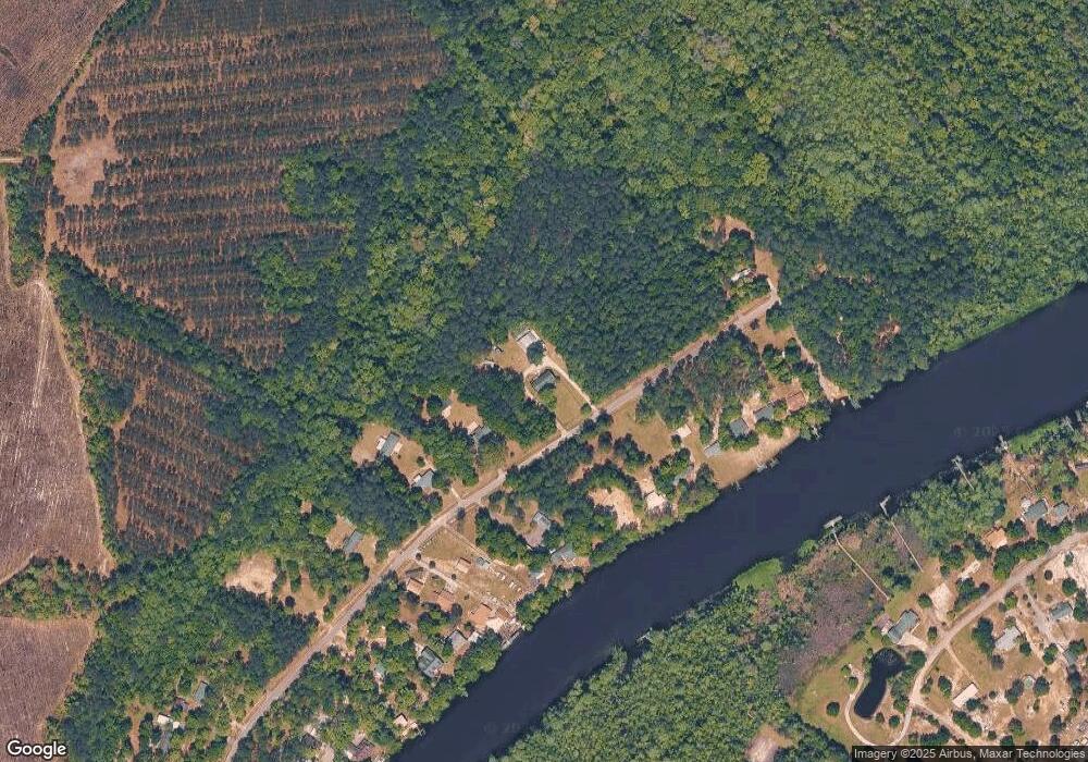
Map
Nearby Homes
- 1455 Francis Marion Dr
- 1229 Francis Marion Dr
- 3231 Center Rd
- 175 Commanders Island Rd
- Lot 7 Amos Rd
- Lot 3 Amos Rd
- Lot 2 Amos Rd
- 462 Mohican Dr
- 302 Mohican Dr
- 3328 County Road S-22-6
- TBD Barnes Rd
- 0 Rd
- 280 Mary George Ln
- 9207 County Line Rd
- 188 N Levee Dr
- 549 Rose Ave
- 40 Little Peru Ct
- 00 Lumberton Dr
- 450 Hayfield Rd
- TBD Cookies Place
Your Personal Tour Guide
Ask me questions while you tour the home.