Estimated Value: $157,000 - $187,000
3
Beds
1
Bath
962
Sq Ft
$181/Sq Ft
Est. Value
About This Home
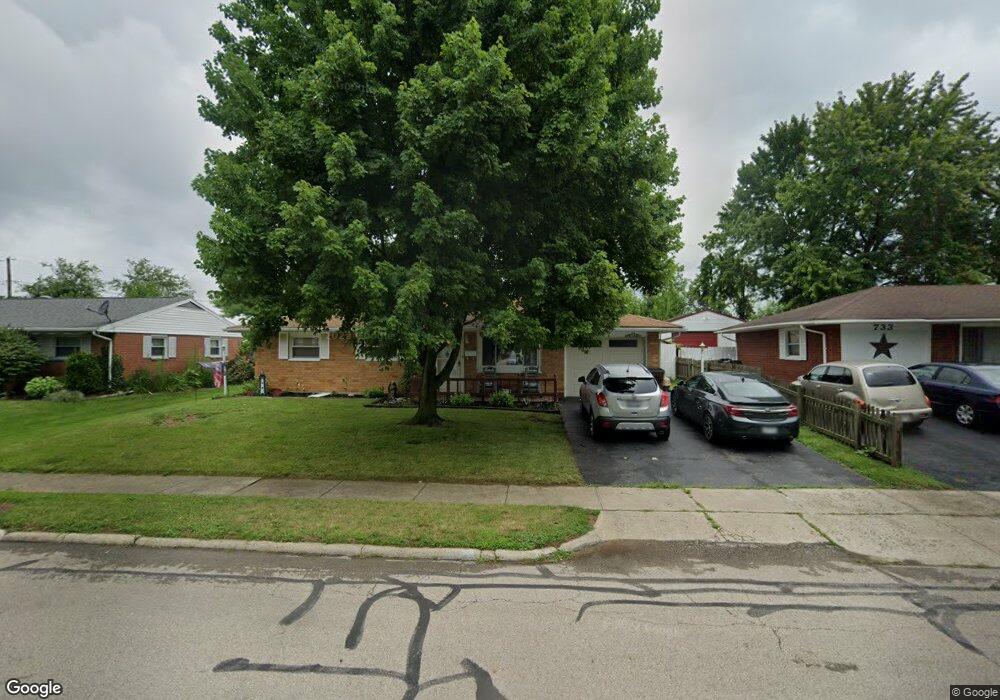
This home is located at 717 Buckskin Trail, Xenia, OH 45385 and is currently estimated at $173,680, approximately $180 per square foot. 717 Buckskin Trail is a home located in Greene County with nearby schools including Xenia High School, Summit Academy Community School for Alternative Learners - Xenia, and Legacy Christian Academy.
Ownership History
Date
Name
Owned For
Owner Type
Purchase Details
Closed on
May 24, 2021
Sold by
Andricks Trisha M and Andricks Douglas M
Bought by
Andricks Douglas M
Current Estimated Value
Home Financials for this Owner
Home Financials are based on the most recent Mortgage that was taken out on this home.
Original Mortgage
$99,028
Outstanding Balance
$89,462
Interest Rate
2.9%
Mortgage Type
FHA
Estimated Equity
$84,218
Purchase Details
Closed on
Dec 13, 2006
Sold by
Estate Of Richard J Mccloskey
Bought by
Mccloskey Mae A
Create a Home Valuation Report for This Property
The Home Valuation Report is an in-depth analysis detailing your home's value as well as a comparison with similar homes in the area
Home Values in the Area
Average Home Value in this Area
Purchase History
| Date | Buyer | Sale Price | Title Company |
|---|---|---|---|
| Andricks Douglas M | $114,500 | Vantage Land Title | |
| Mccloskey Mae A | -- | None Available |
Source: Public Records
Mortgage History
| Date | Status | Borrower | Loan Amount |
|---|---|---|---|
| Open | Andricks Douglas M | $99,028 |
Source: Public Records
Tax History Compared to Growth
Tax History
| Year | Tax Paid | Tax Assessment Tax Assessment Total Assessment is a certain percentage of the fair market value that is determined by local assessors to be the total taxable value of land and additions on the property. | Land | Improvement |
|---|---|---|---|---|
| 2024 | $1,947 | $45,510 | $11,050 | $34,460 |
| 2023 | $1,947 | $45,510 | $11,050 | $34,460 |
| 2022 | $1,614 | $32,170 | $6,500 | $25,670 |
| 2021 | $1,161 | $32,170 | $6,500 | $25,670 |
| 2020 | $1,111 | $32,170 | $6,500 | $25,670 |
| 2019 | $812 | $24,860 | $6,370 | $18,490 |
| 2018 | $815 | $24,860 | $6,370 | $18,490 |
| 2017 | $791 | $24,860 | $6,370 | $18,490 |
| 2016 | $694 | $22,220 | $6,370 | $15,850 |
| 2015 | $696 | $22,220 | $6,370 | $15,850 |
| 2014 | $666 | $22,220 | $6,370 | $15,850 |
Source: Public Records
Map
Nearby Homes
- 1144 Rockwell Dr
- 1208 Bellbrook Ave
- 1272 Bellbrook Ave
- 1342 Kylemore Dr
- 1618 Navajo Dr
- 1568 Cheyenne Dr
- 1223 June Dr
- 1233 June Dr
- 1283 June Dr
- 1391 June Dr
- 1778 Arapaho Dr
- 1653 Seneca Dr
- 121 S Progress Dr
- 305-325 Bellbrook Ave
- 1769 Gayhart Dr
- 1829 Gayhart Dr
- 1866 Roxbury Dr
- 453 Walnut St
- 343 Sheelin Rd
- 2758 Wyoming Dr
- 733 Buckskin Trail
- 707 Buckskin Trail
- 745 Buckskin Trail
- 693 Buckskin Trail
- 726 Buckskin Trail
- 702 Buckskin Trail
- 753 Buckskin Trail
- 679 Buckskin Trail
- 738 Buckskin Trail
- 690 Buckskin Trail
- 761 Buckskin Trail
- 667 Buckskin Trail
- 766 Buckskin Trail
- 801 Moccasin Trail
- 678 Buckskin Trail
- 802 Moccasin Trail
- 664 Buckskin Trail
- 796 Buckskin Trail
- 813 Moccasin Trail
- 655 Buckskin Trail